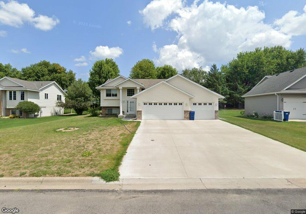
1010 Brook Ct Sauk Rapids, MN 56379
Estimated Value: $328,000 - $348,000
5
Beds
2
Baths
1,299
Sq Ft
$258/Sq Ft
Est. Value
About This Home
This home is located at 1010 Brook Ct, Sauk Rapids, MN 56379 and is currently estimated at $335,656, approximately $258 per square foot. 1010 Brook Ct is a home located in Benton County with nearby schools including Mississippi Heights Elementary School, Sauk Rapids-Rice Middle School, and Sauk Rapids-Rice Senior High School.
Ownership History
Date
Name
Owned For
Owner Type
Purchase Details
Closed on
Aug 25, 2023
Sold by
Fitzpatrick Mandy Y
Bought by
Fitzpatrick Kevin J
Current Estimated Value
Home Financials for this Owner
Home Financials are based on the most recent Mortgage that was taken out on this home.
Original Mortgage
$150,000
Outstanding Balance
$146,582
Interest Rate
6.81%
Mortgage Type
New Conventional
Estimated Equity
$189,074
Create a Home Valuation Report for This Property
The Home Valuation Report is an in-depth analysis detailing your home's value as well as a comparison with similar homes in the area
Home Values in the Area
Average Home Value in this Area
Purchase History
| Date | Buyer | Sale Price | Title Company |
|---|---|---|---|
| Fitzpatrick Kevin J | $500 | Hometown Title |
Source: Public Records
Mortgage History
| Date | Status | Borrower | Loan Amount |
|---|---|---|---|
| Open | Fitzpatrick Kevin J | $150,000 |
Source: Public Records
Tax History Compared to Growth
Tax History
| Year | Tax Paid | Tax Assessment Tax Assessment Total Assessment is a certain percentage of the fair market value that is determined by local assessors to be the total taxable value of land and additions on the property. | Land | Improvement |
|---|---|---|---|---|
| 2025 | $3,750 | $309,600 | $32,100 | $277,500 |
| 2024 | $3,746 | $307,000 | $32,100 | $274,900 |
| 2023 | $3,532 | $314,900 | $32,100 | $282,800 |
| 2022 | $3,294 | $274,100 | $29,200 | $244,900 |
| 2021 | $3,000 | $235,600 | $29,200 | $206,400 |
| 2018 | $2,570 | $170,600 | $25,138 | $145,462 |
| 2017 | $2,570 | $156,600 | $24,749 | $131,851 |
| 2016 | $2,478 | $173,400 | $28,100 | $145,300 |
| 2015 | $2,608 | $144,000 | $24,332 | $119,668 |
| 2014 | -- | $137,100 | $24,093 | $113,007 |
| 2013 | -- | $138,800 | $24,150 | $114,650 |
Source: Public Records
Map
Nearby Homes
- 1424 Hillside Ct
- 1408 10th St NE
- 1000 10th Ave NE
- 1294 Stone Ridge Rd
- 1 Skyview Dr
- 1021 5th St S
- xxx Lot 3
- 1804 8th Ave S
- 1803 8th Ave S
- 1930 Prospect Dr NE
- 116 Columbia Ave NE
- 608 Summit Ave S
- 117 Columbia Ave NE
- 1526 Prairie View Ln NE
- 100 9th Ave S
- 20 Columbia Ave SE
- 2148 Morningside Dr NE
- xxx Lot 2
- 430 5th Ave NE
- 112 Summit Ave S
- 1006 Brook Ct
- 1020 Brook Ct
- 1013 Hillside Rd
- 1017 Hillside Rd
- 1024 Brook Ct
- 1011 Brook Ct
- 1009 Hillside Rd
- 1019 Brook Ct
- 1002 Brook Ct
- 1007 Brook Ct
- 1021 Hillside Rd
- 1005 Hillside Rd
- 1003 Brook Ct
- 1000 Brook Ct
- 1025 Hillside Rd
- 1028 Brook Ct
- 1001 Hillside Rd
- 1018 Garden Brook Dr
- 1016 Hillside Rd
- 1012 Garden Brook Dr