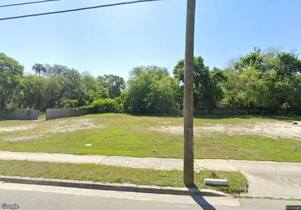
1010 Canal St New Smyrna Beach, FL 32168
Ellison Acres NeighborhoodEstimated Value: $1,100,873
--
Bed
--
Bath
--
Sq Ft
0.45
Acres
About This Home
This home is located at 1010 Canal St, New Smyrna Beach, FL 32168 and is currently estimated at $1,100,873. 1010 Canal St is a home located in Volusia County with nearby schools including Read-Pattillo Elementary School, New Smyrna Beach Middle School, and New Smyrna Beach High School.
Ownership History
Date
Name
Owned For
Owner Type
Purchase Details
Closed on
May 7, 2019
Sold by
B & B Chevron Inc
Bought by
Canal Trust and Servinaval Srl Corp
Current Estimated Value
Purchase Details
Closed on
Jun 1, 2006
Sold by
Otzelberger Gerald L
Bought by
B & B Chevron Inc
Home Financials for this Owner
Home Financials are based on the most recent Mortgage that was taken out on this home.
Original Mortgage
$720,000
Interest Rate
6.51%
Mortgage Type
Purchase Money Mortgage
Purchase Details
Closed on
Jan 15, 1989
Bought by
B & B Chevron Inc
Purchase Details
Closed on
Apr 15, 1988
Bought by
B & B Chevron Inc
Purchase Details
Closed on
Mar 15, 1988
Bought by
B & B Chevron Inc
Purchase Details
Closed on
Mar 15, 1986
Bought by
B & B Chevron Inc
Purchase Details
Closed on
Nov 15, 1982
Bought by
B & B Chevron Inc
Create a Home Valuation Report for This Property
The Home Valuation Report is an in-depth analysis detailing your home's value as well as a comparison with similar homes in the area
Home Values in the Area
Average Home Value in this Area
Purchase History
| Date | Buyer | Sale Price | Title Company |
|---|---|---|---|
| Canal Trust | $37,930 | None Available | |
| B & B Chevron Inc | $750,000 | Attorney | |
| B & B Chevron Inc | $720,000 | Attorney | |
| B & B Chevron Inc | $100 | -- | |
| B & B Chevron Inc | $90,000 | -- | |
| B & B Chevron Inc | $100 | -- | |
| B & B Chevron Inc | $100 | -- | |
| B & B Chevron Inc | $100 | -- | |
| B & B Chevron Inc | $45,000 | -- |
Source: Public Records
Mortgage History
| Date | Status | Borrower | Loan Amount |
|---|---|---|---|
| Previous Owner | B & B Chevron Inc | $720,000 |
Source: Public Records
Tax History Compared to Growth
Tax History
| Year | Tax Paid | Tax Assessment Tax Assessment Total Assessment is a certain percentage of the fair market value that is determined by local assessors to be the total taxable value of land and additions on the property. | Land | Improvement |
|---|---|---|---|---|
| 2025 | $2,161 | $140,940 | $140,940 | -- |
| 2024 | $2,161 | $140,940 | $140,940 | -- |
| 2023 | $2,161 | $136,080 | $136,080 | $0 |
| 2022 | $1,958 | $126,360 | $126,360 | $0 |
| 2021 | $1,794 | $101,088 | $101,088 | $0 |
| 2020 | $1,801 | $101,088 | $101,088 | $0 |
| 2019 | $0 | $97,200 | $97,200 | $0 |
| 2018 | $1,721 | $97,200 | $97,200 | $0 |
| 2017 | $1,642 | $92,340 | $92,340 | $0 |
| 2016 | $1,522 | $72,900 | $0 | $0 |
| 2015 | $1,583 | $72,900 | $0 | $0 |
| 2014 | $1,608 | $72,900 | $0 | $0 |
Source: Public Records
Map
Nearby Homes
- 1104 Canal St
- 0 Parcel No 25 17 32 01 02 0280
- 823 Canal St
- 1103 Washington St
- 108 S Myrtle Ave
- 0 Milford Place
- 801 Canal St
- 309 Old Mission Rd
- 317 Inwood Ave
- 614 Washington St
- 132 Julia St
- 0 Julia St
- 0 Spruce St
- 1150 Old Mission Rd
- 0 Findley St
- 585 Washington St
- 306 Sheldon St
- CALI Plan at Old Mission Cove
- HAYDEN Plan at Old Mission Cove
- 505 Coronado Cove Rd
- 0 Ingham Rd Unit A4208791
- 0 Ingham Rd Unit A4208789
- 0 Ingham Rd Unit MFRNS1021536
- 0 Ingham Rd Unit MFRNS1021534
- 0 Ingham Rd Unit MFRNS1021531
- 0 Ingham Rd Unit 201588
- 0 Ingham Rd Unit 1025512
- 0 Ingham Rd Unit 1025514
- 0 Ingham Rd Unit 1025513
- 110 Robert St
- 3001 Village St
- 108 Bay St
- 110 Bay St
- 919 Canal St
- 1108 Canal St Unit 9
- 119 Robert St
- 112 Bay St
- 113 Robert St Unit 117B
- 113 Robert St
- 10 Ingham Rd
