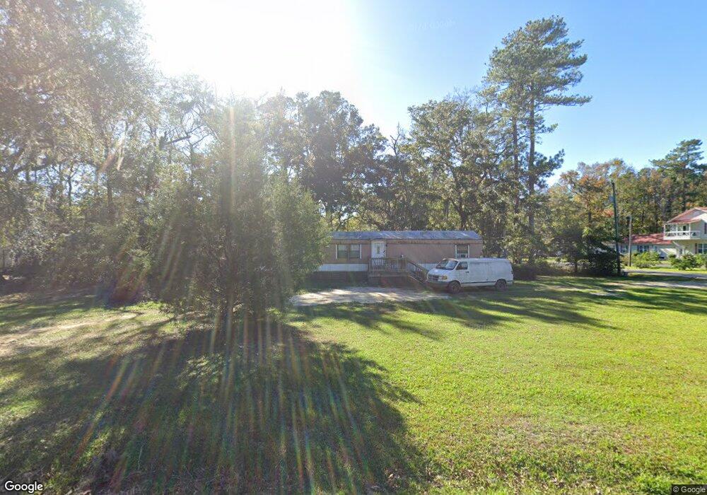
1010 Daniel Dr NE Townsend, GA 31331
Estimated Value: $59,545 - $205,000
3
Beds
2
Baths
1,120
Sq Ft
$133/Sq Ft
Est. Value
About This Home
This home is located at 1010 Daniel Dr NE, Townsend, GA 31331 and is currently estimated at $149,386, approximately $133 per square foot. 1010 Daniel Dr NE is a home with nearby schools including Todd Grant Elementary School, McIntosh County Middle School, and McIntosh County Academy.
Ownership History
Date
Name
Owned For
Owner Type
Purchase Details
Closed on
Sep 26, 2017
Sold by
Scott Pamela D
Bought by
Vanvanwheeler Connie Van and Wheeler Andrea Britt
Current Estimated Value
Home Financials for this Owner
Home Financials are based on the most recent Mortgage that was taken out on this home.
Original Mortgage
$19,360
Interest Rate
3.82%
Mortgage Type
New Conventional
Purchase Details
Closed on
Feb 8, 2005
Sold by
Knight Kimberly W
Bought by
Scott Pamela D
Home Financials for this Owner
Home Financials are based on the most recent Mortgage that was taken out on this home.
Original Mortgage
$7,150
Interest Rate
5.68%
Mortgage Type
New Conventional
Create a Home Valuation Report for This Property
The Home Valuation Report is an in-depth analysis detailing your home's value as well as a comparison with similar homes in the area
Purchase History
| Date | Buyer | Sale Price | Title Company |
|---|---|---|---|
| Vanvanwheeler Connie Van | $18,000 | -- | |
| Scott Pamela D | $12,150 | -- |
Source: Public Records
Mortgage History
| Date | Status | Borrower | Loan Amount |
|---|---|---|---|
| Closed | Vanvanwheeler Connie Van | $19,360 | |
| Previous Owner | Scott Pamela D | $7,150 |
Source: Public Records
Tax History
| Year | Tax Paid | Tax Assessment Tax Assessment Total Assessment is a certain percentage of the fair market value that is determined by local assessors to be the total taxable value of land and additions on the property. | Land | Improvement |
|---|---|---|---|---|
| 2024 | $291 | $5,000 | $4,000 | $1,000 |
| 2023 | $292 | $5,000 | $4,000 | $1,000 |
| 2022 | $292 | $5,000 | $4,000 | $1,000 |
| 2021 | $133 | $5,000 | $4,000 | $1,000 |
| 2020 | $293 | $5,000 | $4,000 | $1,000 |
| 2019 | $354 | $7,600 | $6,600 | $1,000 |
| 2018 | $202 | $7,600 | $6,600 | $1,000 |
Source: Public Records
Map
Nearby Homes
- 1114 Neal Blvd
- 1223 White Drive North E
- 82 Floyd Dr
- 81 Floyd Dr
- 80 Floyd Dr
- 100 White Dr
- 101 White Dr
- 1142 River Dr
- 1222 River Dr NE
- 1515 Ford Blvd NE
- 1556 Neal Blvd NE
- Lot 716 Cooper's Landing Dr NE
- 1068 Picnic Ln NE
- 1356 Fiddler Trace NE
- 1182 Fiddler Crab Dr
- 567 Seabreeze Ln NE
- 642 NE Dune Meadow Dr
- Lot 266 NE Coopers Point Dr NE
- 1111 Fiddler Crab Dr
- 1143 Fiddler Crab Rd NE
- 1083 Ford Blvd NE
- 1024 Daniel Dr NE
- 1097 Ford Blvd NE
- 1397 Floyd Dr NE
- 1084 Ford Blvd NE
- 1013 Ford Blvd NE
- 1112 Ford Blvd NE
- 1365 Floyd Dr NE
- 1067 Daniel Dr NE
- 1094 Daniel Dr NE
- 1021 Neal Blvd NE
- 1065 Neal Blvd NE
- 1137 Ford Blvd NE
- 1120 Ford Blvd NE
- 1063 Neal Blvd NE
- 1161 Ford Blvd NE
- 1132 Daniel Dr NE
- 1046 Neal Blvd NE
- 1074 Neal Blvd NE
- 1020 Neal Blvd NE