1010 Dasher Rd Bristol, GA 31518
Estimated Value: $274,100 - $318,000
4
Beds
2
Baths
2,500
Sq Ft
$117/Sq Ft
Est. Value
About This Home
This home is located at 1010 Dasher Rd, Bristol, GA 31518 and is currently estimated at $293,275, approximately $117 per square foot. 1010 Dasher Rd is a home located in Wayne County with nearby schools including Screven Elementary School, Arthur Williams Middle School, and Wayne County High School.
Ownership History
Date
Name
Owned For
Owner Type
Purchase Details
Closed on
Nov 22, 2021
Sold by
Murphy Christopher H
Bought by
Murphy Elizabeth Ann
Current Estimated Value
Purchase Details
Closed on
Mar 18, 2019
Sold by
Murphy Tina F
Bought by
Murphy Christopher H
Purchase Details
Closed on
Apr 16, 2013
Sold by
Altamaha Federal Cr Un
Bought by
Murphy Tina F
Purchase Details
Closed on
Feb 3, 2006
Sold by
Yoder Clarence N
Bought by
Ulrich Ron
Home Financials for this Owner
Home Financials are based on the most recent Mortgage that was taken out on this home.
Original Mortgage
$86,880
Interest Rate
6.14%
Mortgage Type
New Conventional
Purchase Details
Closed on
Nov 1, 1995
Purchase Details
Closed on
Nov 1, 1993
Purchase Details
Closed on
Feb 1, 1987
Create a Home Valuation Report for This Property
The Home Valuation Report is an in-depth analysis detailing your home's value as well as a comparison with similar homes in the area
Purchase History
| Date | Buyer | Sale Price | Title Company |
|---|---|---|---|
| Murphy Elizabeth Ann | -- | -- | |
| Murphy Christopher H | -- | -- | |
| Murphy Tina F | $5,000 | -- | |
| Ulrich Ron | -- | -- | |
| Goodwin Eric S | $86,500 | -- | |
| -- | $37,000 | -- | |
| -- | $37,500 | -- | |
| -- | -- | -- | |
| -- | -- | -- |
Source: Public Records
Mortgage History
| Date | Status | Borrower | Loan Amount |
|---|---|---|---|
| Previous Owner | Goodwin Eric S | $86,880 |
Source: Public Records
Tax History
| Year | Tax Paid | Tax Assessment Tax Assessment Total Assessment is a certain percentage of the fair market value that is determined by local assessors to be the total taxable value of land and additions on the property. | Land | Improvement |
|---|---|---|---|---|
| 2025 | $2,042 | $79,716 | $1,261 | $78,455 |
| 2024 | $2,042 | $77,073 | $1,261 | $75,812 |
| 2023 | $47 | $1,581 | $1,261 | $320 |
| 2022 | $50 | $1,581 | $1,261 | $320 |
| 2021 | $50 | $1,475 | $1,155 | $320 |
| 2020 | $124 | $3,560 | $3,240 | $320 |
| 2019 | $128 | $3,560 | $3,240 | $320 |
| 2018 | $128 | $3,560 | $3,240 | $320 |
| 2017 | $110 | $3,560 | $3,240 | $320 |
| 2016 | $107 | $3,560 | $3,240 | $320 |
| 2014 | $60 | $3,560 | $3,240 | $320 |
| 2013 | -- | $3,560 | $3,240 | $320 |
Source: Public Records
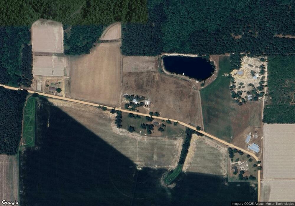
Map
Nearby Homes
- 59 Enoch Moody Rd
- 0 Jimmy Ree Ln
- 4866 Kville Rd
- 362 Crosby Ln
- 1517 Granny Crosby Rd
- 0 Kville Rd Unit 10596074
- 0 Kville Rd
- 6005 Chancey Rd
- 0 Ward Boyette Rd
- 2114 Mill Creek Rd
- 540 Freddy Rd
- 0 Metts-Overstreet Rd
- 6959 Oak Crossing Rd
- 1435 E Lake Dr
- 885 Odum Screven Rd
- 109 Joyner St
- 102 Highsmith Ave
- 391 S Forks Rd
- 868 Broadhurst Rd W
- 0 Dale Mill Rd
- 726 Dasher Rd
- 1190 Dasher Rd
- 723 Dasher Rd Unit 1190
- 211 Clyde Wasdin Rd
- 2535 Mikell Lake Rd Unit 2763
- 923 Crystal Rd
- 2965 Mikell Lake Rd
- 199 Dasher Rd
- 960 Clyde Wasdin Rd
- 1315 Mikell Lake Rd
- 2240 Mikell Lake Rd
- 75 Dasher Rd
- 130 Long Branch Rd
- 1201 Mikell Lake Rd
- 125 Dasher Rd
- 3211 Mikell Lake Rd
- 1200 Mikell Lake Rd
- 707 Clyde Wasdin Rd
- 195 Sawmill Rd
Your Personal Tour Guide
Ask me questions while you tour the home.