1010 Foxboro Dr Norwalk, CT 06851
Cranbury NeighborhoodEstimated Value: $487,000 - $514,488
1
Bed
2
Baths
1,192
Sq Ft
$420/Sq Ft
Est. Value
About This Home
This home is located at 1010 Foxboro Dr, Norwalk, CT 06851 and is currently estimated at $501,122, approximately $420 per square foot. 1010 Foxboro Dr is a home located in Fairfield County with nearby schools including Cranbury Elementary School, West Rocks Middle School, and Norwalk High School.
Ownership History
Date
Name
Owned For
Owner Type
Purchase Details
Closed on
Aug 13, 2015
Sold by
Whiddon Beverly
Bought by
Whidon Beverly
Current Estimated Value
Purchase Details
Closed on
Aug 31, 1995
Sold by
Suslock Norman
Bought by
Whiddon Beverly
Purchase Details
Closed on
Dec 28, 1990
Sold by
Susloch Peter
Bought by
Susloch Norman
Create a Home Valuation Report for This Property
The Home Valuation Report is an in-depth analysis detailing your home's value as well as a comparison with similar homes in the area
Home Values in the Area
Average Home Value in this Area
Purchase History
| Date | Buyer | Sale Price | Title Company |
|---|---|---|---|
| Whidon Beverly | -- | -- | |
| Whidon Beverly | -- | -- | |
| Whiddon Beverly | $165,000 | -- | |
| Whiddon Beverly | $165,000 | -- | |
| Susloch Norman | $28,336 | -- |
Source: Public Records
Mortgage History
| Date | Status | Borrower | Loan Amount |
|---|---|---|---|
| Previous Owner | Susloch Norman | $126,790 | |
| Previous Owner | Susloch Norman | $139,000 | |
| Previous Owner | Susloch Norman | $140,000 |
Source: Public Records
Tax History Compared to Growth
Tax History
| Year | Tax Paid | Tax Assessment Tax Assessment Total Assessment is a certain percentage of the fair market value that is determined by local assessors to be the total taxable value of land and additions on the property. | Land | Improvement |
|---|---|---|---|---|
| 2025 | $7,476 | $314,900 | $0 | $314,900 |
| 2024 | $7,361 | $314,900 | $0 | $314,900 |
| 2023 | $6,503 | $260,460 | $0 | $260,460 |
| 2022 | $6,401 | $260,460 | $0 | $260,460 |
| 2021 | $5,446 | $260,460 | $0 | $260,460 |
| 2020 | $6,148 | $260,460 | $0 | $260,460 |
| 2019 | $6,071 | $260,460 | $0 | $260,460 |
| 2018 | $6,198 | $239,020 | $0 | $239,020 |
| 2017 | $5,981 | $239,020 | $0 | $239,020 |
| 2016 | $6,081 | $239,020 | $0 | $239,020 |
| 2015 | $6,064 | $239,020 | $0 | $239,020 |
| 2014 | $5,985 | $239,020 | $0 | $239,020 |
Source: Public Records
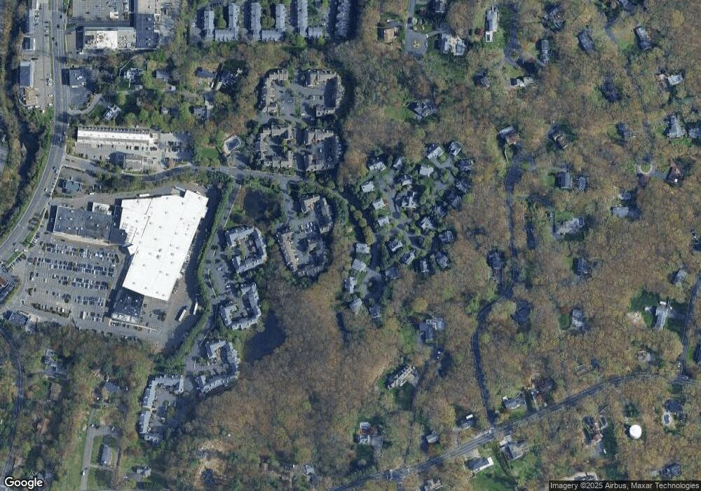
Map
Nearby Homes
- 510 Foxboro Dr
- 123 Old Belden Hill Rd Unit 40
- 28 Village Ct
- 515 Belden Hill Rd
- 29 Grumman Ave
- 442 Main Ave Unit A5
- 57 Creeping Hemlock Dr
- 41 Mohawk Dr
- 180 E Rocks Rd
- 36 Donohue Dr
- 8 Caddy Rd
- 27 Stonecrop Rd
- 32 Thistle Rd
- 8 Stonecrop Rd
- 4 Frank St
- 332 Belden Hill Rd
- 18 Singing Woods Rd
- 71 Aiken St Unit P12
- 9 Singing Woods Rd
- 84 Wilton Crest Rd Unit 84
- 1011 Foxboro Dr
- 1009 Foxboro Dr
- 1008 Foxboro Dr
- 1007 Foxboro Dr
- 1006 Foxboro Dr
- 1005 Foxboro Dr
- 1004 Foxboro Dr
- 1003 Foxboro Dr
- 1002 Foxboro Dr
- 1001 Foxboro Dr
- 1007 Foxboro Dr Unit 1007
- 1001 Foxboro Dr Unit 1001
- 1006 Foxboro Dr Unit 1006
- 1008 Foxboro Dr Unit 1008
- 1118 Foxboro Dr
- 1117 Foxboro Dr
- 1115 Foxboro Dr
- 1114 Foxboro Dr
- 1112 Foxboro Dr
- 1111 Foxboro Dr