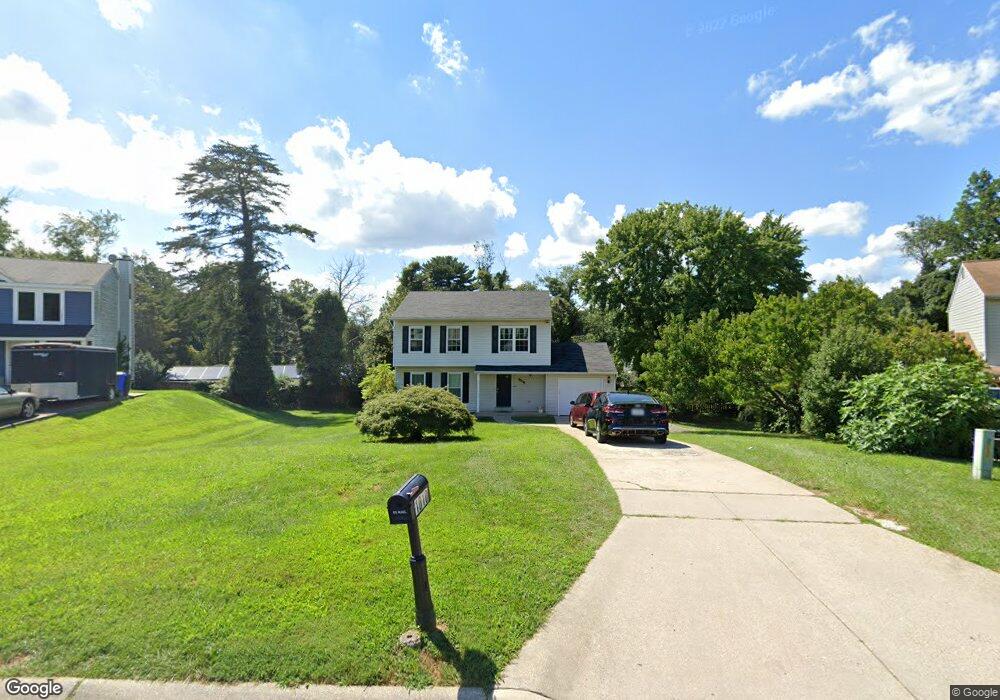
1010 Gresham Rd Silver Spring, MD 20904
Estimated Value: $513,000 - $629,000
Studio
3
Baths
1,560
Sq Ft
$377/Sq Ft
Est. Value
About This Home
This home is located at 1010 Gresham Rd, Silver Spring, MD 20904 and is currently estimated at $587,782, approximately $376 per square foot. 1010 Gresham Rd is a home located in Montgomery County with nearby schools including William Tyler Page Elementary School, Briggs Chaney Middle School, and James Hubert Blake High School.
Ownership History
Date
Name
Owned For
Owner Type
Purchase Details
Closed on
Oct 31, 2005
Sold by
Choudhury Muhammad I and Choudhury Bushra
Bought by
Joyner Mckinley 3Rd
Current Estimated Value
Home Financials for this Owner
Home Financials are based on the most recent Mortgage that was taken out on this home.
Original Mortgage
$431,997
Outstanding Balance
$265,431
Interest Rate
8.1%
Mortgage Type
Adjustable Rate Mortgage/ARM
Estimated Equity
$322,351
Purchase Details
Closed on
Mar 27, 2001
Sold by
Dickerson Lisa L
Bought by
Choudhury Muhammad I and Choudhury Bushra
Create a Home Valuation Report for This Property
The Home Valuation Report is an in-depth analysis detailing your home's value as well as a comparison with similar homes in the area
Home Values in the Area
Average Home Value in this Area
Purchase History
| Date | Buyer | Sale Price | Title Company |
|---|---|---|---|
| Joyner Mckinley 3Rd | $479,997 | -- | |
| Choudhury Muhammad I | $210,000 | -- |
Source: Public Records
Mortgage History
| Date | Status | Borrower | Loan Amount |
|---|---|---|---|
| Open | Joyner Mckinley 3Rd | $431,997 |
Source: Public Records
Tax History
| Year | Tax Paid | Tax Assessment Tax Assessment Total Assessment is a certain percentage of the fair market value that is determined by local assessors to be the total taxable value of land and additions on the property. | Land | Improvement |
|---|---|---|---|---|
| 2025 | $597 | $469,633 | -- | -- |
| 2024 | $597 | $447,867 | $0 | $0 |
| 2023 | $569 | $426,100 | $226,100 | $200,000 |
| 2022 | $525 | $412,933 | $0 | $0 |
| 2021 | $3,308 | $399,767 | $0 | $0 |
| 2020 | $6,616 | $386,600 | $226,100 | $160,500 |
| 2019 | $6,341 | $378,000 | $0 | $0 |
| 2018 | $376 | $369,400 | $0 | $0 |
| 2017 | $361 | $360,800 | $0 | $0 |
| 2016 | -- | $345,433 | $0 | $0 |
| 2015 | $722 | $330,067 | $0 | $0 |
| 2014 | $722 | $314,700 | $0 | $0 |
Source: Public Records
Map
Nearby Homes
- 13137 Broadmore Rd
- 1407 Northcrest Dr
- 1306 Leister Dr
- 13704 New Hampshire Ave
- 13707 Notley Rd
- 816 Rosemere Ave
- 13711 Notley Rd
- 13715 Notley Rd
- 13719 Notley Rd
- 605 Rosemere Ave
- 12624 Billington Rd
- 7 Shaw Ave
- 606 Winhall Way
- 906 Venice Dr
- 12916 Shaw Place
- 2204 Badian Dr
- 3 Shannon Ct
- 1309 Swingingdale Dr
- 14325 New Hampshire Ave
- 3092 Fairland Rd
- 1020 Gresham Rd
- 1000 Gresham Rd
- 13309 Partridge Dr
- 1100 Gresham Rd
- 1001 Canyon Rd
- 13319 Partridge Dr
- 1102 Gresham Rd
- 1101 Gresham Rd
- 1100 Canyon Rd
- 13305 Partridge Dr
- 1011 Canyon Rd
- 1104 Gresham Rd
- 13401 Partridge Dr
- 1101 Canyon Rd
- 1021 Canyon Rd
- 13308 Partridge Dr
- 1003 Fairland Rd
- 1106 Gresham Rd
- 13312 Partridge Dr
- 1017 Fairland Rd
Your Personal Tour Guide
Ask me questions while you tour the home.