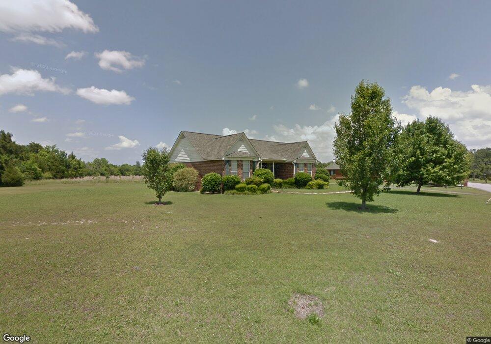
1010 Phil Harper Dr Demopolis, AL 36732
Estimated Value: $203,000 - $277,804
Studio
1
Bath
1,971
Sq Ft
$128/Sq Ft
Est. Value
About This Home
This home is located at 1010 Phil Harper Dr, Demopolis, AL 36732 and is currently estimated at $251,451, approximately $127 per square foot. 1010 Phil Harper Dr is a home located in Marengo County with nearby schools including Westside Elementary School, U.S. Jones Elementary School, and Demopolis Middle School.
Ownership History
Date
Name
Owned For
Owner Type
Purchase Details
Closed on
Aug 28, 2020
Sold by
Smith Carolyn W
Bought by
Williams Jocelyn L and Rembert Georglin G
Current Estimated Value
Purchase Details
Closed on
Jun 8, 2007
Sold by
Owens Mattie
Bought by
Owens Lloyd
Purchase Details
Closed on
Mar 13, 2007
Sold by
Skidmore Rodney P and Skidmore Stacey L
Bought by
Pettis Deborah
Purchase Details
Closed on
Apr 11, 2005
Sold by
Wilson Vanya M
Bought by
Edmonds David
Purchase Details
Closed on
Dec 21, 2004
Sold by
Wal & Mart Estate Business Trust
Bought by
Wal & Mart Realty Company
Create a Home Valuation Report for This Property
The Home Valuation Report is an in-depth analysis detailing your home's value as well as a comparison with similar homes in the area
Home Values in the Area
Average Home Value in this Area
Purchase History
We collect this data history from publicly available records. To have your information removed, we recommend requesting removal directly through your county’s website.
| Date | Buyer | Sale Price | Title Company |
|---|---|---|---|
| Williams Jocelyn L | $195,500 | -- | |
| Owens Lloyd | -- | -- | |
| Pettis Deborah | -- | -- | |
| Edmonds David | -- | -- | |
| Wal & Mart Realty Company | -- | -- |
Source: Public Records
Tax History
| Year | Tax Paid | Tax Assessment Tax Assessment Total Assessment is a certain percentage of the fair market value that is determined by local assessors to be the total taxable value of land and additions on the property. | Land | Improvement |
|---|---|---|---|---|
| 2025 | $1,456 | $26,800 | $3,700 | $23,100 |
| 2024 | $1,456 | $26,800 | $3,700 | $23,100 |
| 2023 | $1,456 | $25,800 | $0 | $0 |
| 2022 | $1,286 | $23,780 | $0 | $0 |
| 2021 | $1,143 | $21,260 | $3,700 | $17,560 |
| 2020 | $1,006 | $20,760 | $3,700 | $17,060 |
| 2019 | $931 | $20,740 | $3,680 | $17,060 |
| 2018 | $930 | $20,740 | $3,680 | $17,060 |
| 2017 | $874 | $19,520 | $3,680 | $15,840 |
| 2016 | $874 | $19,520 | $3,680 | $15,840 |
| 2015 | $874 | $0 | $0 | $0 |
| 2014 | $874 | $0 | $0 | $0 |
| 2013 | $820 | $0 | $0 | $0 |
Source: Public Records
Map
Nearby Homes
- 00 Forest Brook
- 1006 S Commissioners Ave
- 500 S Main Ave Unit S
- 210 S Chestnut Ave
- 205 S Ash Ave
- 800 Arcola Rd
- 0000 Creekside Ln
- 0 U S 80 Unit 20102631
- 306 N Ash Ave
- County Highway 21
- 0 Highway 80
- 1805 Cypress Cove Rd
- 721 Cypress Cove
- 5469 County Road 19
- 0 River Ranch Rd
- 482 Sandpiper Dr
- 0 Pace Landing Rd
- 480 Sandpiper Dr
- 476 Bailey Dr
- 104 Candys Landing Rd
- 1008 Phil Harper Dr
- 1004 River Bluff Landing
- 1006 Phil Harper Dr
- 1009 Phil Harper Dr
- 1003 River Bluff
- 1103 Phil Harper Dr
- 1004 Phil Harper Dr
- 1012 Jacob Dr
- 1007 Phil Harper Dr
- 1105 Garden Place
- 902 Herbert St
- 1002 Phil Harper Dr
- 1107 Phil Harper Dr
- 1005 Phil Harper Dr
- 1106 River Bluff Landing
- 708 Wildwood Cir
- 1000 Phil Harper Dr
- 1107 Garden Place
- 706 Wildwood Cir
- 1009 Lillian Ln
Your Personal Tour Guide
Ask me questions while you tour the home.