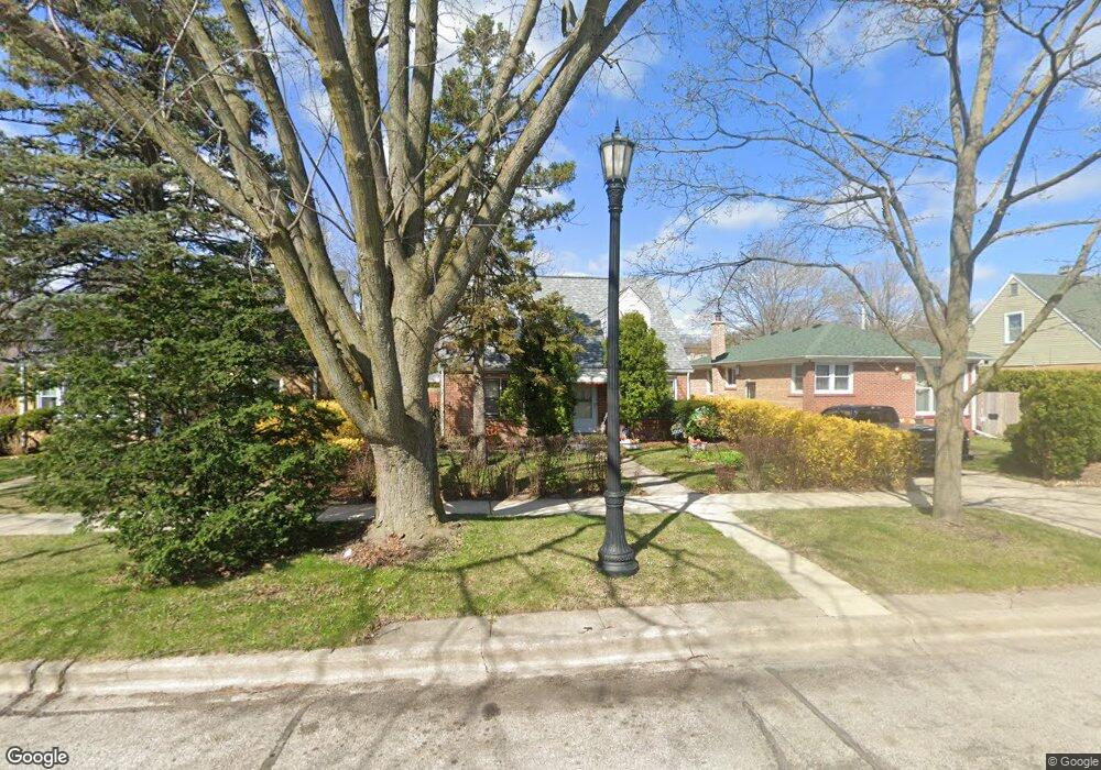
1010 Pitner Ave Evanston, IL 60202
West End NeighborhoodEstimated Value: $477,331 - $2,886,000
4
Beds
2
Baths
1,663
Sq Ft
$663/Sq Ft
Est. Value
About This Home
This home is located at 1010 Pitner Ave, Evanston, IL 60202 and is currently estimated at $1,103,083, approximately $663 per square foot. 1010 Pitner Ave is a home located in Cook County with nearby schools including Walker Elementary School, Chute Middle School, and Evanston Township High School.
Ownership History
Date
Name
Owned For
Owner Type
Purchase Details
Closed on
Jun 28, 1996
Sold by
Avery Edward
Bought by
Avery Sandra G
Current Estimated Value
Home Financials for this Owner
Home Financials are based on the most recent Mortgage that was taken out on this home.
Original Mortgage
$70,000
Interest Rate
7.5%
Create a Home Valuation Report for This Property
The Home Valuation Report is an in-depth analysis detailing your home's value as well as a comparison with similar homes in the area
Home Values in the Area
Average Home Value in this Area
Purchase History
| Date | Buyer | Sale Price | Title Company |
|---|---|---|---|
| Avery Sandra G | -- | Chicago Title Insurance Co | |
| Avery Sandra G | -- | -- |
Source: Public Records
Mortgage History
| Date | Status | Borrower | Loan Amount |
|---|---|---|---|
| Closed | Avery Sandra G | $70,000 |
Source: Public Records
Tax History
| Year | Tax Paid | Tax Assessment Tax Assessment Total Assessment is a certain percentage of the fair market value that is determined by local assessors to be the total taxable value of land and additions on the property. | Land | Improvement |
|---|---|---|---|---|
| 2025 | $6,876 | $42,000 | $7,830 | $34,170 |
| 2024 | $6,876 | $34,000 | $6,480 | $27,520 |
| 2023 | $6,552 | $34,000 | $6,480 | $27,520 |
| 2022 | $6,552 | $34,000 | $6,480 | $27,520 |
| 2021 | $5,851 | $27,750 | $4,590 | $23,160 |
| 2020 | $5,880 | $27,750 | $4,590 | $23,160 |
| 2019 | $5,878 | $30,937 | $4,590 | $26,347 |
| 2018 | $5,073 | $24,458 | $3,780 | $20,678 |
| 2017 | $5,699 | $24,458 | $3,780 | $20,678 |
| 2016 | $5,629 | $24,458 | $3,780 | $20,678 |
| 2015 | $5,256 | $21,949 | $3,240 | $18,709 |
| 2014 | $5,220 | $21,949 | $3,240 | $18,709 |
| 2013 | $5,827 | $24,776 | $3,240 | $21,536 |
Source: Public Records
Map
Nearby Homes
- 2321 Lee St
- 1120 Pitner Ave
- 8428 Mccormick Blvd
- 826 Brown Ave
- 920 Dodge Ave
- 1037 Dodge Ave
- 1321 Pitner Ave Unit A
- 8260 N Mccormick Blvd
- 3334 Wilder St
- 1133 Dodge Ave
- 8626 Trumbull Ave
- 1111 Darrow Ave
- 1810 Washington St
- 1042 Dewey Ave
- 1213 Darrow Ave
- 3518 Main St
- 8450 Drake Ave
- 8444 Drake Ave
- 1815 Cleveland St
- 3614 Main St
- 1004 Pitner Ave
- 1012 Pitner Ave
- 1018 Pitner Ave
- 1002 Pitner Ave
- 2313 Lee St
- 2300 Nathaniel Place
- 2312 Nathaniel Place
- 2317 Lee St
- 2318 Nathaniel Place
- 942 Pitner Ave
- 2304 Lee St
- 2308 Lee St
- 2322 Nathaniel Place
- 2325 Lee St
- 2301 Nathaniel Place
- 2324 Nathaniel Place
- 940 Pitner Ave Unit 2
- 940 Pitner Ave
- 940 Pitner Ave Unit 4
- 940 Pitner Ave Unit 3
Your Personal Tour Guide
Ask me questions while you tour the home.