1010 Poplar Blvd Riverside, IA 52327
Estimated Value: $646,176
4
Beds
1
Bath
1,690
Sq Ft
$382/Sq Ft
Est. Value
About This Home
This home is located at 1010 Poplar Blvd, Riverside, IA 52327 and is currently estimated at $646,176, approximately $382 per square foot. 1010 Poplar Blvd is a home located in Washington County with nearby schools including Mid-Prairie High School.
Ownership History
Date
Name
Owned For
Owner Type
Purchase Details
Closed on
Aug 16, 2013
Sold by
Thompson Judith J and Thompson Michael
Bought by
Grout Larry J
Current Estimated Value
Home Financials for this Owner
Home Financials are based on the most recent Mortgage that was taken out on this home.
Original Mortgage
$408,024
Outstanding Balance
$204,308
Interest Rate
4.33%
Mortgage Type
Farmers Home Administration
Estimated Equity
$441,868
Create a Home Valuation Report for This Property
The Home Valuation Report is an in-depth analysis detailing your home's value as well as a comparison with similar homes in the area
Home Values in the Area
Average Home Value in this Area
Purchase History
| Date | Buyer | Sale Price | Title Company |
|---|---|---|---|
| Grout Larry J | $317,000 | None Available |
Source: Public Records
Mortgage History
| Date | Status | Borrower | Loan Amount |
|---|---|---|---|
| Open | Grout Larry J | $408,024 |
Source: Public Records
Tax History Compared to Growth
Tax History
| Year | Tax Paid | Tax Assessment Tax Assessment Total Assessment is a certain percentage of the fair market value that is determined by local assessors to be the total taxable value of land and additions on the property. | Land | Improvement |
|---|---|---|---|---|
| 2025 | $1,050 | $61,000 | $58,200 | $2,800 |
| 2024 | $1,050 | $52,100 | $49,400 | $2,700 |
| 2023 | $1,992 | $52,100 | $49,400 | $2,700 |
| 2022 | $1,894 | $106,800 | $35,400 | $71,400 |
| 2021 | $1,894 | $109,700 | $38,300 | $71,400 |
| 2020 | $1,832 | $102,800 | $37,800 | $65,000 |
| 2019 | $1,864 | $120,400 | $0 | $0 |
| 2018 | $2,096 | $139,000 | $0 | $0 |
| 2017 | $1,924 | $135,100 | $0 | $0 |
| 2016 | $1,842 | $135,100 | $0 | $0 |
| 2015 | $1,842 | $122,400 | $0 | $0 |
| 2014 | $1,656 | $122,400 | $0 | $0 |
Source: Public Records
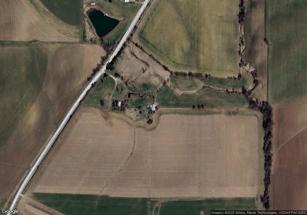
Map
Nearby Homes
- 1122 Pelican Dr
- 914 8th St
- 608 5th St
- 0.64 Acres M/L Boise St
- 1159 Tulip Ave
- Lot 78 Stone Ridge Estates
- 834 1st Place
- 303 E Ave
- 2155 Johnson Washington Rd
- 410 Ella St
- 220 A Ave Unit 14
- 445 Galileo Dr
- 433 Galileo Dr
- 114 Cherry Ln
- Lot 45 Kleopfer Ave Unit 45 HIGHLAND HGTS ADD
- 6 Acres M/L Parcel Q 1st St
- 0 Windmill Ct Unit 2501943
- Lot 2 Windmill View Ct
- Lot 29 Vista Dr
- Lot 80 Timberline Terrace
- 5789 Kansas Ave SW
- 1040 Palm Ave
- 1056 Poplar Blvd
- 1055 Poplar Blvd
- 1061 Poplar Blvd
- 5795 James Ave SW
- 5759 James Ave SW
- 1064 Poplar Blvd
- 1063 Poplar Blvd
- 5685 Kansas Ave SW
- 5722 James Ave SW
- 1062 Palm Ave
- 3057 560th St SW
- 1104 Palm Ave
- 1104 Palm Ave
- 2480 105th St
- 2480 105th St
- 2851 560th St SW
- 2804 560th St SW
- 2808 560th St SW