1010 Price Ln McComb, MS 39648
Estimated Value: $217,000 - $271,000
--
Bed
--
Bath
2,567
Sq Ft
$93/Sq Ft
Est. Value
About This Home
This home is located at 1010 Price Ln, McComb, MS 39648 and is currently estimated at $239,726, approximately $93 per square foot. 1010 Price Ln is a home with nearby schools including North Pike Elementary School, North Pike Middle School, and North Pike Senior High School.
Ownership History
Date
Name
Owned For
Owner Type
Purchase Details
Closed on
Aug 1, 2007
Sold by
Price Frank and Price Dee
Bought by
Whittington James A
Current Estimated Value
Home Financials for this Owner
Home Financials are based on the most recent Mortgage that was taken out on this home.
Original Mortgage
$22,112
Interest Rate
6.65%
Mortgage Type
Future Advance Clause Open End Mortgage
Create a Home Valuation Report for This Property
The Home Valuation Report is an in-depth analysis detailing your home's value as well as a comparison with similar homes in the area
Home Values in the Area
Average Home Value in this Area
Purchase History
| Date | Buyer | Sale Price | Title Company |
|---|---|---|---|
| Whittington James A | -- | None Available |
Source: Public Records
Mortgage History
| Date | Status | Borrower | Loan Amount |
|---|---|---|---|
| Closed | Whittington James A | $22,112 |
Source: Public Records
Tax History Compared to Growth
Tax History
| Year | Tax Paid | Tax Assessment Tax Assessment Total Assessment is a certain percentage of the fair market value that is determined by local assessors to be the total taxable value of land and additions on the property. | Land | Improvement |
|---|---|---|---|---|
| 2025 | $2,131 | $20,574 | $0 | $0 |
| 2024 | $2,131 | $17,694 | $0 | $0 |
| 2023 | $2,078 | $17,694 | $0 | $0 |
| 2022 | $2,045 | $17,694 | $0 | $0 |
| 2021 | $2,038 | $17,694 | $0 | $0 |
| 2020 | $2,065 | $17,823 | $0 | $0 |
| 2019 | $2,008 | $17,823 | $0 | $0 |
| 2018 | $1,993 | $17,823 | $0 | $0 |
| 2017 | $1,944 | $17,823 | $0 | $0 |
| 2016 | $1,681 | $17,823 | $0 | $0 |
| 2015 | $1,566 | $17,187 | $0 | $0 |
| 2014 | $1,525 | $17,187 | $0 | $0 |
| 2013 | -- | $17,187 | $0 | $0 |
Source: Public Records
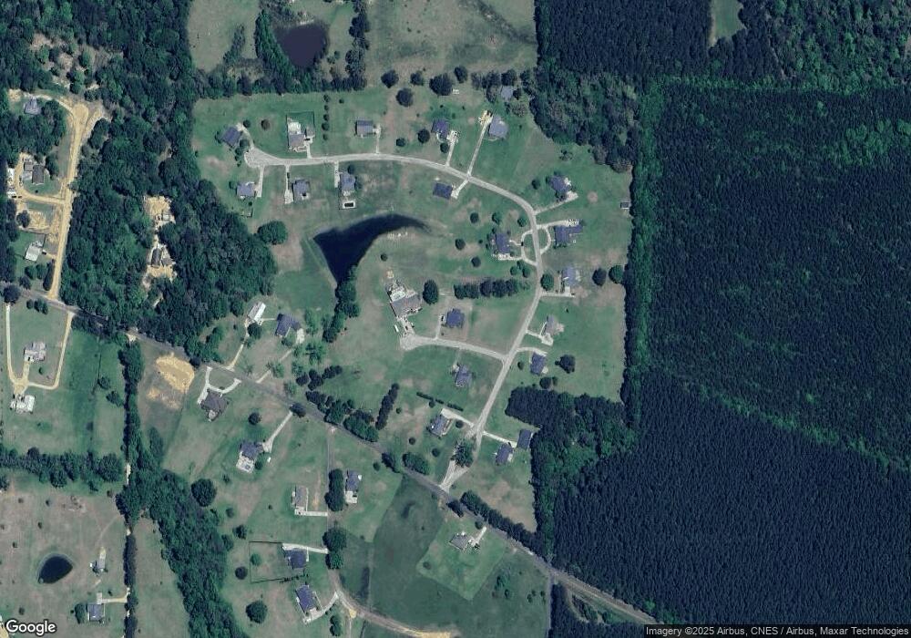
Map
Nearby Homes
- 0 Rolling Oaks Dr
- 1011 Rolling Oaks Dr
- 1156 Boone Rd
- 1037 Boone Rd
- TBD Hwy 44e
- 2147 McComb Holmesville Rd
- 1022 Friendship Cir
- No Integrity Rd
- 0 Integrity Rd
- 1011 Eastover Ln
- 1041 Van Norman Curve
- 1148 Morgantown Rd
- 1004 Van Norman Curve
- 0 Morgantown Rd Unit 4125975
- 7020 Gibson Rd
- 1019 Pearl River Avenue Extension
- 6121 Gibson Rd
- XXX Brewer Ln
- 1106 Harrison Dr
- 1102 Pearl River Ave
- 1014 Price Ln
- 1083 Rolling Oaks Dr
- Lot 15 Rolling Oaks Subdivision
- Lot 12 Rolling Oaks Subdivision
- Lot 14 Rolling Oaks Subdivision
- Lot 18 Rolling Oaks Subdivision
- Lot 24 Rolling Oaks Subdivision
- Lot 23 Rolling Oaks Subdivision
- Lot 20 Rolling Oaks Subdivision
- Lot 16 Rolling Oaks Subdivision
- Lot 8 Rolling Oaks Subdivision
- Lot #4 Rolling Oaks Estate
- Lot 15 Twin Oaks
- 1039 Rolling Oaks Dr
- 1022 Rolling Oaks Dr
- 4075 Summit Hville Rd
- 1060 Rolling Oaks Dr
- 1084 Rolling Oaks Dr
- 1028 Rolling Oaks Dr
- 1068 Rolling Oaks Dr