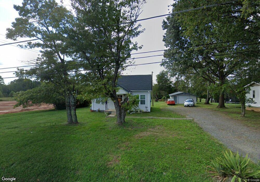
1010 S Main St Dobson, NC 27017
Estimated Value: $174,718 - $308,000
4
Beds
1
Bath
1,080
Sq Ft
$212/Sq Ft
Est. Value
About This Home
This home is located at 1010 S Main St, Dobson, NC 27017 and is currently estimated at $228,680, approximately $211 per square foot. 1010 S Main St is a home with nearby schools including Dobson Elementary School, Central Middle School, and Surry Central High School.
Ownership History
Date
Name
Owned For
Owner Type
Purchase Details
Closed on
Jun 7, 2012
Sold by
King Laura E and King Andrew J
Bought by
Boles Van W and Dutton Kathy B
Current Estimated Value
Purchase Details
Closed on
Aug 26, 2011
Sold by
Boles Harold W
Bought by
King Laura E and King Andrew J
Home Financials for this Owner
Home Financials are based on the most recent Mortgage that was taken out on this home.
Original Mortgage
$67,900
Interest Rate
4.54%
Mortgage Type
Purchase Money Mortgage
Purchase Details
Closed on
Jun 27, 2007
Sold by
Logan William Henry and Logan Peggy Louise
Bought by
Boles W Harold
Purchase Details
Closed on
Jun 1, 1996
Purchase Details
Closed on
Sep 1, 1987
Purchase Details
Closed on
Jul 1, 1987
Purchase Details
Closed on
Jul 1, 1977
Create a Home Valuation Report for This Property
The Home Valuation Report is an in-depth analysis detailing your home's value as well as a comparison with similar homes in the area
Purchase History
| Date | Buyer | Sale Price | Title Company |
|---|---|---|---|
| Boles Van W | $70,000 | None Available | |
| King Laura E | $68,000 | None Available | |
| Boles W Harold | $12,000 | None Available | |
| -- | $10,000 | -- | |
| -- | -- | -- | |
| -- | -- | -- | |
| -- | -- | -- |
Source: Public Records
Mortgage History
| Date | Status | Borrower | Loan Amount |
|---|---|---|---|
| Previous Owner | King Laura E | $67,900 |
Source: Public Records
Tax History
| Year | Tax Paid | Tax Assessment Tax Assessment Total Assessment is a certain percentage of the fair market value that is determined by local assessors to be the total taxable value of land and additions on the property. | Land | Improvement |
|---|---|---|---|---|
| 2025 | $539 | $83,290 | $11,700 | $71,590 |
| 2024 | $453 | $63,610 | $11,700 | $51,910 |
| 2023 | $610 | $63,610 | $11,700 | $51,910 |
| 2022 | $450 | $63,610 | $11,700 | $51,910 |
| 2021 | $450 | $63,610 | $11,700 | $51,910 |
| 2020 | $421 | $57,900 | $11,700 | $46,200 |
| 2019 | $418 | $57,900 | $0 | $0 |
| 2018 | $412 | $57,900 | $0 | $0 |
| 2017 | $415 | $57,900 | $0 | $0 |
| 2016 | $411 | $57,900 | $0 | $0 |
| 2013 | -- | $65,950 | $0 | $0 |
Source: Public Records
Map
Nearby Homes
- 149 Vance St
- 111 Arthur Haney Rd
- 147 Michael Dr
- 142 Arthur Haney Rd
- 602 S Main St
- 00 U S 601
- 00 US Highway 601 U S 601 Unit 10
- 00 US Highway 601 U S 601 Unit 9
- 504 Cody Trail
- 209 Freeman St
- 311 James St
- 607 Blessing Dr
- 331 Collins Rd
- 308 Main St Unit Tract 2 land only
- TBD Norman Ln
- 0 Main St Unit 1127207
- 4043 Old Highway 601
- 1783 Turner Mountain Rd
- 1261 Turkey Ford Rd
- 105 Pepperbush Trail
- 1000 S Main St
- 990 S Main St
- 000 Main St
- 107 Watson Ln
- 116 Watson Ln
- 971 S Main St
- 102 Watson Ln
- 107 Cutaway Ln
- 954 S Main St
- 108 Forest Oaks Dr
- 126 Vance St
- 118 Forest Oaks Dr
- 106 Forest Oaks Dr
- 105 Stratford Place
- 103 Stratford Place
- 186 Skeeter Ln
- 128 Forest Oaks Dr
- 4365 U S 601
- 100 Vance St
- 144 Vance St
Your Personal Tour Guide
Ask me questions while you tour the home.