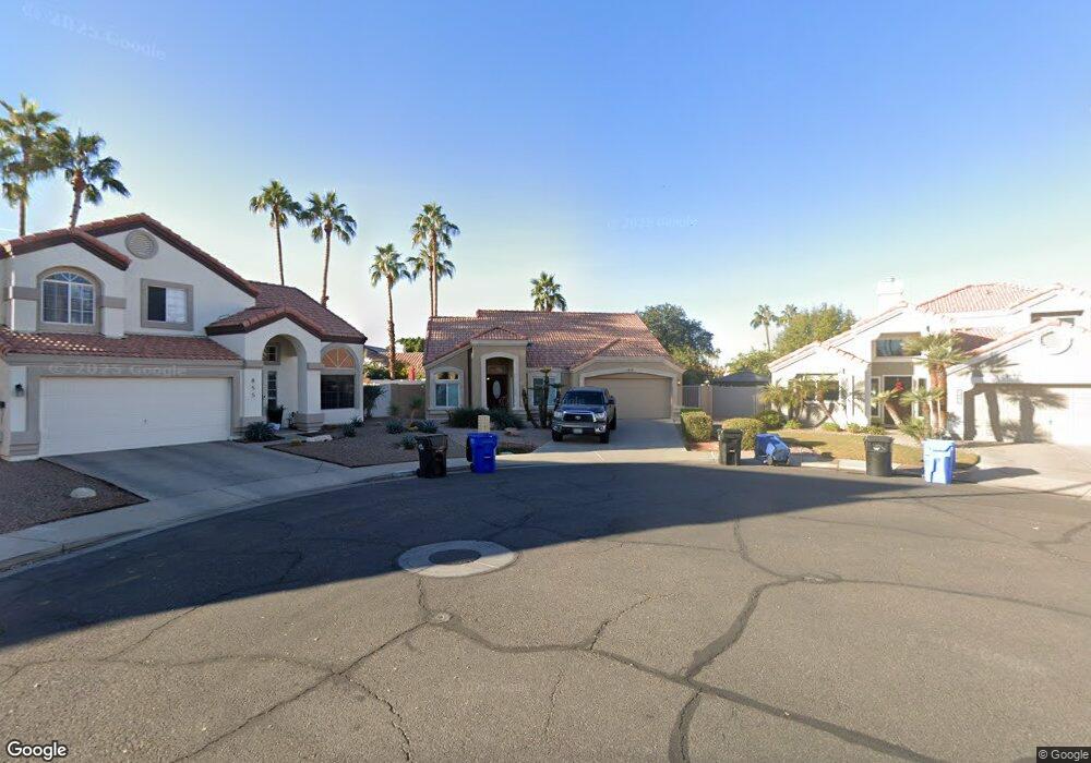
1010 S Port Dr Gilbert, AZ 85233
The Islands NeighborhoodEstimated Value: $425,563 - $488,000
3
Beds
2
Baths
1,343
Sq Ft
$344/Sq Ft
Est. Value
About This Home
This home is located at 1010 S Port Dr, Gilbert, AZ 85233 and is currently estimated at $462,641, approximately $344 per square foot. 1010 S Port Dr is a home located in Maricopa County with nearby schools including Shumway Elementary School, Willis Junior High School, and Chandler High School.
Ownership History
Date
Name
Owned For
Owner Type
Purchase Details
Closed on
Jan 27, 2017
Sold by
Kassisieh Albert and Kassisieh Samira
Bought by
Luluthe Llc
Current Estimated Value
Purchase Details
Closed on
Aug 11, 2003
Sold by
Kassisieh Albert and Kassisieh Samira
Bought by
Kassisieh Albert and Kassisieh Samira
Create a Home Valuation Report for This Property
The Home Valuation Report is an in-depth analysis detailing your home's value as well as a comparison with similar homes in the area
Home Values in the Area
Average Home Value in this Area
Purchase History
| Date | Buyer | Sale Price | Title Company |
|---|---|---|---|
| Luluthe Llc | -- | None Available | |
| Kassisieh Samer | -- | None Available | |
| Kassisieh Sulieman | -- | None Available | |
| Kassisieh Albert | -- | -- |
Source: Public Records
Tax History Compared to Growth
Tax History
| Year | Tax Paid | Tax Assessment Tax Assessment Total Assessment is a certain percentage of the fair market value that is determined by local assessors to be the total taxable value of land and additions on the property. | Land | Improvement |
|---|---|---|---|---|
| 2025 | $1,656 | $17,723 | -- | -- |
| 2024 | $1,595 | $16,879 | -- | -- |
| 2023 | $1,595 | $33,730 | $6,740 | $26,990 |
| 2022 | $1,545 | $25,480 | $5,090 | $20,390 |
| 2021 | $1,588 | $23,330 | $4,660 | $18,670 |
| 2020 | $1,578 | $22,310 | $4,460 | $17,850 |
| 2019 | $1,285 | $19,930 | $3,980 | $15,950 |
| 2018 | $1,245 | $18,220 | $3,640 | $14,580 |
| 2017 | $1,165 | $16,620 | $3,320 | $13,300 |
| 2016 | $1,126 | $15,960 | $3,190 | $12,770 |
| 2015 | $1,088 | $14,470 | $2,890 | $11,580 |
Source: Public Records
Map
Nearby Homes
- 861 W Shellfish Dr
- 920 W Grand Caymen Dr
- 938 W Iris Dr
- 916 S Dolphin Dr
- 1135 W Sea Fog Dr
- 715 W Stottler Place
- 643 W Devon Ct
- 918 W Barbados Dr
- 794 S Martinique Dr
- 742 S Crows Nest Dr
- 1214 W Iris Dr
- 617 W Cantebria Dr
- 820 S Copper Key Ct
- 814 S Copper Key Ct
- 1951 E Baylor Ct
- 1305 W Lobster Trap Dr
- 735 W Baylor Ln
- 1126 N Melody Cir
- 869 W Emerald Island Dr
- 919 S Paradise Dr Unit III
- 1006 S Port Dr
- 855 W Devon Dr
- 1031 S Cancun Ave
- 902 W Iris Dr
- 851 W Devon Dr
- 1037 S Cancun Ave
- 847 W Devon Dr
- 850 W Devon Dr
- 918 W Coast Dr
- 908 W Iris Dr
- 846 W Devon Dr
- 1043 S Cancun Ave
- 925 W Coast Dr
- 901 W Iris Dr
- 842 W Devon Dr
- 926 W Coast Dr
- 839 W Devon Dr
- 914 W Iris Dr
- 893 W Shellfish Dr
- 832 W Wagner Dr