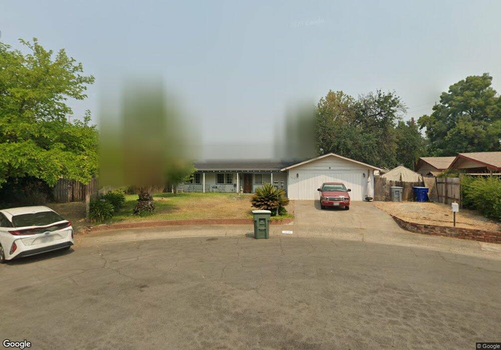
1010 Shepard Ct Redding, CA 96002
Mistletoe NeighborhoodEstimated Value: $303,103 - $358,000
3
Beds
2
Baths
1,470
Sq Ft
$221/Sq Ft
Est. Value
About This Home
This home is located at 1010 Shepard Ct, Redding, CA 96002 and is currently estimated at $324,526, approximately $220 per square foot. 1010 Shepard Ct is a home located in Shasta County with nearby schools including Mistletoe Elementary School, Enterprise High School, and Trinity Lutheran School.
Ownership History
Date
Name
Owned For
Owner Type
Purchase Details
Closed on
Jun 24, 1999
Sold by
Sp Catalano Elizabeth A and Sp Dara S
Bought by
Juarez Salvador R and Juarez Elia L
Current Estimated Value
Home Financials for this Owner
Home Financials are based on the most recent Mortgage that was taken out on this home.
Original Mortgage
$84,390
Outstanding Balance
$22,605
Interest Rate
7.24%
Estimated Equity
$301,921
Create a Home Valuation Report for This Property
The Home Valuation Report is an in-depth analysis detailing your home's value as well as a comparison with similar homes in the area
Home Values in the Area
Average Home Value in this Area
Purchase History
| Date | Buyer | Sale Price | Title Company |
|---|---|---|---|
| Juarez Salvador R | $88,000 | Placer Title Company |
Source: Public Records
Mortgage History
| Date | Status | Borrower | Loan Amount |
|---|---|---|---|
| Open | Juarez Salvador R | $84,390 |
Source: Public Records
Tax History
| Year | Tax Paid | Tax Assessment Tax Assessment Total Assessment is a certain percentage of the fair market value that is determined by local assessors to be the total taxable value of land and additions on the property. | Land | Improvement |
|---|---|---|---|---|
| 2025 | $1,398 | $133,690 | $33,798 | $99,892 |
| 2024 | $1,377 | $131,070 | $33,136 | $97,934 |
| 2023 | $1,377 | $128,501 | $32,487 | $96,014 |
| 2022 | $1,337 | $125,982 | $31,850 | $94,132 |
| 2021 | $1,290 | $123,513 | $31,226 | $92,287 |
| 2020 | $1,283 | $122,247 | $30,906 | $91,341 |
| 2019 | $1,271 | $119,850 | $30,300 | $89,550 |
| 2018 | $1,255 | $117,501 | $29,706 | $87,795 |
| 2017 | $1,275 | $115,198 | $29,124 | $86,074 |
| 2016 | $1,192 | $112,940 | $28,553 | $84,387 |
| 2015 | $1,181 | $111,245 | $28,125 | $83,120 |
| 2014 | $1,171 | $109,067 | $27,575 | $81,492 |
Source: Public Records
Map
Nearby Homes
- 1005 Grissom Ct
- 1018 Pineland Dr
- 1750 Hawthorne Ct
- 1461 Oakdale Ln
- 1953 Cameo Ct
- 1968 Bechelli Ln
- 1928 Bechelli Ln
- 2100 Deerfield Ave
- 2583 Reservoir Ln
- 2093 Victor Ave
- 1701 E Cypress Ave
- 2820 Alfreda Way
- 1285 Lancers Ln
- 2855 Irwin Rd
- 918 Parsons Dr
- 2893 Alfreda Way
- 890 Parsons Dr
- 0 Churn Creek Rd Unit 25-496
- 0 Churn Creek Rd Unit 26-609
- 1110 Grouse Dr
- 1049 Mistletoe Ln
- 1020 Shepard Ct
- 1027 Mistletoe Ln
- 1000 Shepard Ct
- 1065 Mistletoe Ln
- 2020 Carpenter Ln
- 1005 Shepard Ct
- 1015 Shepard Ct
- 2000 Carpenter Ln
- 1015 Mistletoe Ln
- 2040 Carpenter Ln
- 1062 Mistletoe Ln
- 1010 Grissom Ct
- 1048 Mistletoe Ln
- 1080 Mistletoe Ln
- 1020 Grissom Ct
- 2015 Carpenter Ln
- 2025 Carpenter Ln
- 2050 Carpenter Ln
- 2005 Carpenter Ln
Your Personal Tour Guide
Ask me questions while you tour the home.