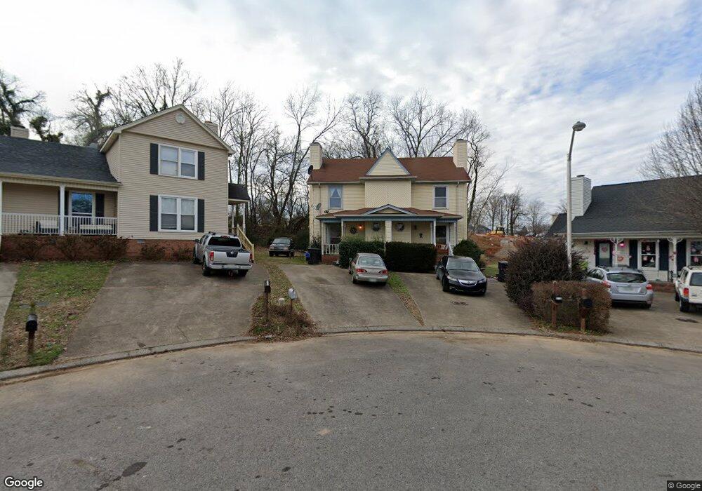
1010 Silver Point Dr Murfreesboro, TN 37130
Estimated Value: $209,000 - $230,483
--
Bed
2
Baths
1,134
Sq Ft
$192/Sq Ft
Est. Value
About This Home
This home is located at 1010 Silver Point Dr, Murfreesboro, TN 37130 and is currently estimated at $217,621, approximately $191 per square foot. 1010 Silver Point Dr is a home located in Rutherford County with nearby schools including Bradley Academy - An Arts Integrated School, Whitworth-Buchanan Middle School, and Rockvale High School.
Ownership History
Date
Name
Owned For
Owner Type
Purchase Details
Closed on
Jul 5, 2016
Sold by
Ayers Stephen D and Ayers Teresa L
Bought by
Ayers Stephen D and Creekside Trust
Current Estimated Value
Purchase Details
Closed on
Feb 28, 2005
Sold by
Dave Robertson
Bought by
Ayers Stephen D
Home Financials for this Owner
Home Financials are based on the most recent Mortgage that was taken out on this home.
Original Mortgage
$40,000
Outstanding Balance
$20,130
Interest Rate
5.6%
Mortgage Type
Purchase Money Mortgage
Estimated Equity
$197,491
Create a Home Valuation Report for This Property
The Home Valuation Report is an in-depth analysis detailing your home's value as well as a comparison with similar homes in the area
Home Values in the Area
Average Home Value in this Area
Purchase History
| Date | Buyer | Sale Price | Title Company |
|---|---|---|---|
| Ayers Stephen D | -- | None Available | |
| Ayers Stephen D | $73,500 | -- |
Source: Public Records
Mortgage History
| Date | Status | Borrower | Loan Amount |
|---|---|---|---|
| Open | Ayers Stephen D | $40,000 |
Source: Public Records
Tax History Compared to Growth
Tax History
| Year | Tax Paid | Tax Assessment Tax Assessment Total Assessment is a certain percentage of the fair market value that is determined by local assessors to be the total taxable value of land and additions on the property. | Land | Improvement |
|---|---|---|---|---|
| 2025 | $1,071 | $37,850 | $8,750 | $29,100 |
| 2024 | $1,071 | $37,850 | $8,750 | $29,100 |
| 2023 | $710 | $37,850 | $8,750 | $29,100 |
| 2022 | $612 | $37,850 | $8,750 | $29,100 |
| 2021 | $657 | $29,600 | $7,000 | $22,600 |
| 2020 | $657 | $29,600 | $7,000 | $22,600 |
| 2019 | $657 | $29,600 | $7,000 | $22,600 |
| 2018 | $902 | $29,600 | $0 | $0 |
| 2017 | $776 | $19,975 | $0 | $0 |
| 2016 | $776 | $19,975 | $0 | $0 |
| 2015 | $776 | $19,975 | $0 | $0 |
| 2014 | $497 | $19,975 | $0 | $0 |
| 2013 | -- | $19,575 | $0 | $0 |
Source: Public Records
Map
Nearby Homes
- 1016 Silver Point Dr
- 923 SE Broad St Unit 4
- 1103 Virginia Ave
- 1280 Middle Tennessee Blvd Unit C2
- 1280 Middle Tennessee Blvd Unit D6
- 1118 Houston Dr
- 411 Tremont Dr
- 602 Johnson St
- 1341 Shearron Ct
- 610 Messick Ct
- 1003 Tyler Ct
- 710 Saratoga Dr
- 706 Mars St
- 828 E Castle St
- 415 S University St
- 1302 Dr Martin Luther King Blvd Unit 26
- 431 E Castle St
- 530 E State St
- 1302 Doctor Martin Luther King Jr B Unit 1
- 1302 Doctor Martin Luther King Jr B Unit 49
- 1008 Silver Point Dr
- 1014 Silver Point Dr
- 1004 Silver Point Dr
- 1002 Silver Point Dr
- 1020 Silver Point Dr
- 1022 Silver Point Dr
- 1003 Silver Point Dr
- 925 SE Broad St
- 923 SE Broad St
- 923 SE Broad St Unit B7
- 923 SE Broad St Unit B6
- 923 SE Broad St Unit B5
- 923 SE Broad St Unit 3
- 923 SE Broad St Unit 2
- 923 SE Broad St Unit 1
- 1024 Silver Point Dr
- 1005 Silver Point Dr
- 1026 Silver Point Dr
- 1009 Silver Point Dr
- 1017 Silver Point Dr