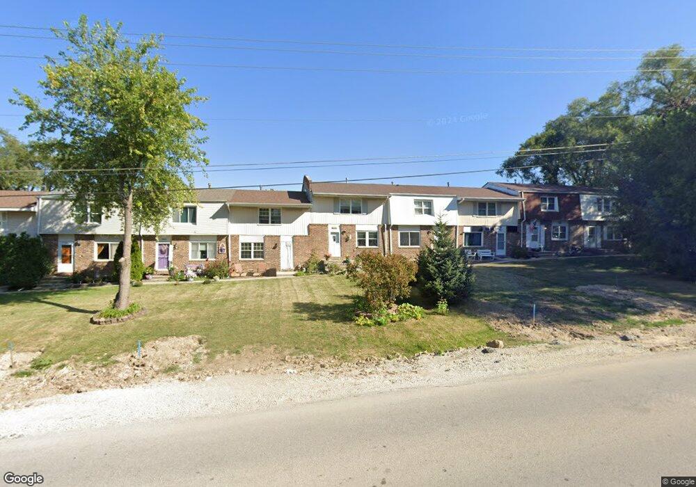
1010 Thornton St Unit B Lockport, IL 60441
Estimated Value: $196,651 - $247,000
--
Bed
1
Bath
1,200
Sq Ft
$188/Sq Ft
Est. Value
About This Home
This home is located at 1010 Thornton St Unit B, Lockport, IL 60441 and is currently estimated at $225,413, approximately $187 per square foot. 1010 Thornton St Unit B is a home located in Will County with nearby schools including Walsh Elementary School, Ludwig Elementary School, and Reed Elementary School.
Ownership History
Date
Name
Owned For
Owner Type
Purchase Details
Closed on
Jul 16, 1997
Sold by
Jackson Paul W and Jackson Theresa H
Bought by
Callahan Robert A and Callahan Darlene D
Current Estimated Value
Home Financials for this Owner
Home Financials are based on the most recent Mortgage that was taken out on this home.
Original Mortgage
$63,446
Outstanding Balance
$9,448
Interest Rate
7.94%
Mortgage Type
FHA
Estimated Equity
$215,965
Purchase Details
Closed on
Jan 31, 1992
Bought by
Callahan Robert
Create a Home Valuation Report for This Property
The Home Valuation Report is an in-depth analysis detailing your home's value as well as a comparison with similar homes in the area
Home Values in the Area
Average Home Value in this Area
Purchase History
| Date | Buyer | Sale Price | Title Company |
|---|---|---|---|
| Callahan Robert A | $63,500 | -- | |
| Callahan Robert | $47,000 | -- |
Source: Public Records
Mortgage History
| Date | Status | Borrower | Loan Amount |
|---|---|---|---|
| Open | Callahan Robert A | $63,446 | |
| Closed | Callahan Robert A | $2,075 |
Source: Public Records
Tax History Compared to Growth
Tax History
| Year | Tax Paid | Tax Assessment Tax Assessment Total Assessment is a certain percentage of the fair market value that is determined by local assessors to be the total taxable value of land and additions on the property. | Land | Improvement |
|---|---|---|---|---|
| 2024 | $3,046 | $47,603 | $12,123 | $35,480 |
| 2023 | $3,046 | $42,735 | $10,883 | $31,852 |
| 2022 | $2,645 | $38,669 | $10,152 | $28,517 |
| 2021 | $2,462 | $36,339 | $9,540 | $26,799 |
| 2020 | $2,387 | $35,144 | $9,226 | $25,918 |
| 2019 | $2,231 | $33,312 | $8,745 | $24,567 |
| 2018 | $2,277 | $33,312 | $8,745 | $24,567 |
| 2017 | $2,150 | $31,447 | $8,255 | $23,192 |
| 2016 | $2,013 | $29,473 | $7,737 | $21,736 |
| 2015 | $1,792 | $28,043 | $7,362 | $20,681 |
| 2014 | $1,792 | $26,208 | $6,880 | $19,328 |
| 2013 | $1,792 | $26,208 | $6,880 | $19,328 |
Source: Public Records
Map
Nearby Homes
- 1022 Highland Ave
- 1108 E 9th St
- 308 Macgregor Rd
- 936 Treeline Ct Unit 5B
- 605 Gloria St
- 613 E 3rd St
- 134 S Jefferson St
- 540 E 4th St
- 701 E 7th St
- 510 N Lockwood Dr
- 9.5 Acres S Archer Ave
- 219 S Washington St
- 118 N State St
- 120 N State St
- 0 151st & MacGregor St Unit MRD11873272
- 0 Smith Rd South of 135th St Unit MRD12274096
- 0 N State St Unit 10995892
- 327 S State St
- 818 E 11th St
- 1212 Grandview Ave
- 1010 Thornton St
- 1010 Thornton St
- 1010 Thornton St Unit C
- 1010 Thornton St Unit A
- 1010 Thornton St Unit D
- 1014 Thornton St
- 1016 Thornton St
- 1013 Highland Ave
- 1015 Highland Ave
- 1011 Highland Ave
- 1017 Highland Ave
- 1018 Thornton St
- 1006 Thornton St Unit E
- 1006 Thornton St Unit B
- 1006 Thornton St Unit C
- 1006 Thornton St
- 1006 Thornton St Unit A
- 1006 Thornton St Unit D
- 1019 Highland Ave
- 975 Thornton St