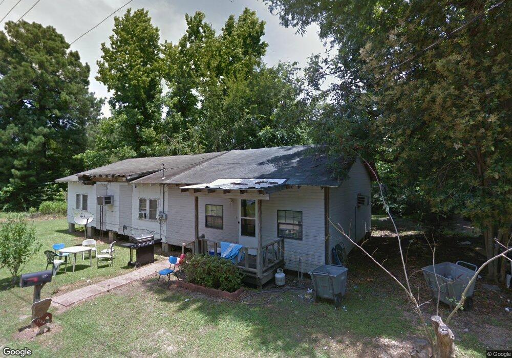
1010 Tom Cliff Ln Hazlehurst, MS 39083
Estimated Value: $105,000 - $166,000
3
Beds
2
Baths
1,633
Sq Ft
$78/Sq Ft
Est. Value
About This Home
This home is located at 1010 Tom Cliff Ln, Hazlehurst, MS 39083 and is currently estimated at $126,917, approximately $77 per square foot. 1010 Tom Cliff Ln is a home located in Copiah County with nearby schools including Hazlehurst Middle School and Hazlehurst High School.
Ownership History
Date
Name
Owned For
Owner Type
Purchase Details
Closed on
Oct 30, 2024
Sold by
R & B Farms Llc
Bought by
Anderson Ronnie and Anderson Octavia
Current Estimated Value
Purchase Details
Closed on
Jul 28, 2019
Sold by
Copiah County
Purchase Details
Closed on
Feb 19, 2016
Sold by
Channell Layne
Bought by
Anderson John Wayne
Purchase Details
Closed on
Aug 30, 2012
Sold by
Sjc Ii Llc
Bought by
Byther Twanna
Purchase Details
Closed on
Jun 5, 2012
Sold by
Amos Copiah County Chancerk Clerk Steve
Bought by
Sjc
Create a Home Valuation Report for This Property
The Home Valuation Report is an in-depth analysis detailing your home's value as well as a comparison with similar homes in the area
Home Values in the Area
Average Home Value in this Area
Purchase History
| Date | Buyer | Sale Price | Title Company |
|---|---|---|---|
| Anderson Ronnie | -- | None Listed On Document | |
| Anderson Ronnie | -- | None Listed On Document | |
| -- | -- | None Listed On Document | |
| Anderson John Wayne | -- | Attorney | |
| Byther Twanna | -- | -- | |
| Sjc | -- | -- |
Source: Public Records
Tax History Compared to Growth
Tax History
| Year | Tax Paid | Tax Assessment Tax Assessment Total Assessment is a certain percentage of the fair market value that is determined by local assessors to be the total taxable value of land and additions on the property. | Land | Improvement |
|---|---|---|---|---|
| 2025 | $237 | $2,788 | $0 | $0 |
| 2024 | $237 | $3,584 | $0 | $0 |
| 2023 | $237 | $3,584 | $0 | $0 |
| 2022 | $240 | $3,584 | $0 | $0 |
| 2021 | $238 | $3,584 | $0 | $0 |
| 2020 | $227 | $3,351 | $0 | $0 |
| 2019 | $241 | $3,351 | $0 | $0 |
| 2018 | $234 | $3,351 | $0 | $0 |
| 2017 | $212 | $3,351 | $0 | $0 |
| 2016 | $212 | $3,195 | $0 | $0 |
| 2015 | -- | $3,195 | $0 | $0 |
| 2014 | -- | $5,048 | $0 | $0 |
Source: Public Records
Map
Nearby Homes
- 744 Georgetown St
- 1004 Bethesda Rd
- 613 Georgetown St
- 256 Pinehurst Cir
- 0 E Whitworth St
- 0 Carlisle St
- 209 Downing St
- 330 S Extension St
- 125 Dogwood Dr
- 1142 Henley Cir
- 1006 Charles Howard Dr
- 1015 Herbert Ln
- 2081 Gallatin St
- 21032 Us-51
- 0 Bethesda Rd Unit 11612880
- 0 Bethesda Rd Unit 24909841
- 0 Bethesda Rd Unit 4126642
- 0 Whitetown Ln
- 4 Whitetown Ln
- 1 Whitetown Ln
- 1013 Tom Cliff Ln
- 28181 Highway 28
- 28183 Highway 28
- 28177 Highway 28
- 1020 Tom Cliff Ln
- 0 Hwy 28 Unit 186439
- 0 Hwy 28 Unit 748665
- 0 Hwy 28 Unit 340651
- 1011 Bethesda Rd
- 1102 Daniels Ln
- 797 Georgetown St
- 791 Georgetown St
- 1012 Bethesda Rd
- 803 Georgetown St
- 1013 Bethesda Rd
- 781 Georgetown St
- 3003 Georgetown St
- 782 Georgetown St
- 28096 Mississippi 28
- 3002 Georgetown St