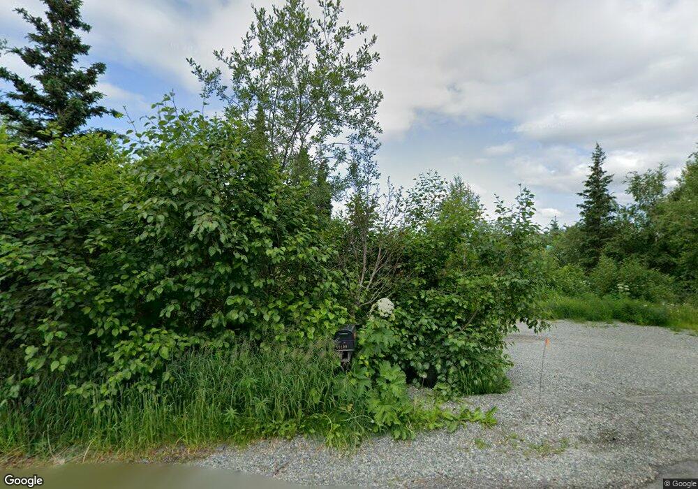
10100 Hampton Dr Anchorage, AK 99507
Hillside East NeighborhoodEstimated Value: $708,000 - $1,263,000
5
Beds
3
Baths
4,200
Sq Ft
$239/Sq Ft
Est. Value
About This Home
This home is located at 10100 Hampton Dr, Anchorage, AK 99507 and is currently estimated at $1,005,817, approximately $239 per square foot. 10100 Hampton Dr is a home located in Anchorage Municipality with nearby schools including O'Malley Elementary School, Hanshew Middle School, and Service High School.
Ownership History
Date
Name
Owned For
Owner Type
Purchase Details
Closed on
Mar 27, 2003
Sold by
Philippsborn F Ronald F and Philippsborn Kathleen T
Bought by
Loffredo Joseph R and Loffredo Karrie L
Current Estimated Value
Home Financials for this Owner
Home Financials are based on the most recent Mortgage that was taken out on this home.
Original Mortgage
$270,363
Outstanding Balance
$112,367
Interest Rate
5.79%
Mortgage Type
Purchase Money Mortgage
Estimated Equity
$893,450
Create a Home Valuation Report for This Property
The Home Valuation Report is an in-depth analysis detailing your home's value as well as a comparison with similar homes in the area
Home Values in the Area
Average Home Value in this Area
Purchase History
| Date | Buyer | Sale Price | Title Company |
|---|---|---|---|
| Loffredo Joseph R | -- | Stewart Title Of Alaska |
Source: Public Records
Mortgage History
| Date | Status | Borrower | Loan Amount |
|---|---|---|---|
| Open | Loffredo Joseph R | $270,363 |
Source: Public Records
Tax History
| Year | Tax Paid | Tax Assessment Tax Assessment Total Assessment is a certain percentage of the fair market value that is determined by local assessors to be the total taxable value of land and additions on the property. | Land | Improvement |
|---|---|---|---|---|
| 2025 | $13,624 | $1,044,200 | $216,900 | $827,300 |
| 2024 | $13,624 | $949,200 | $204,800 | $744,400 |
| 2023 | $13,666 | $846,200 | $196,000 | $650,200 |
| 2022 | $12,887 | $840,600 | $196,000 | $644,600 |
| 2021 | $13,326 | $762,800 | $196,000 | $566,800 |
| 2020 | $10,922 | $734,400 | $196,000 | $538,400 |
| 2019 | $10,505 | $717,000 | $196,000 | $521,000 |
| 2018 | $10,577 | $722,000 | $205,800 | $516,200 |
| 2017 | $11,053 | $735,900 | $197,200 | $538,700 |
| 2016 | $9,758 | $763,400 | $197,200 | $566,200 |
| 2015 | $9,758 | $732,000 | $193,200 | $538,800 |
| 2014 | $9,758 | $721,500 | $193,200 | $528,300 |
Source: Public Records
Map
Nearby Homes
- 7509 Beacon Hill Dr
- L5 Panorama Dr
- L7 Panorama Dr
- L13 Panorama Dr
- L3 Panorama Dr
- L1 Panorama Dr
- L9 Panorama Dr
- L6 Panorama Dr
- L2 Panorama Dr
- 6815 Double Tree Ct
- 10640 Stroganof Dr
- 9501 Brien St
- 11440 Doggie Ave
- L1 B1 E Klatt Rd
- 11831 Moose Rd
- 000 Valley View Dr
- 0 Rd
- 12855 Ginami St
- L2 Totem Rd
- 112 Chelsea St
- 10100 Hampton Cir
- 10080 Hampton Cir
- 10080 Hampton Dr
- 10101 Hampton Dr
- 7601 McLure Cir Unit 1
- 10200 Hampton Cir
- 10200 Hampton Dr
- 10101 Hampton Cir
- 10201 Hillside Dr
- 7741 McLure Cir
- 10270 Hampton Dr
- 10000 Hampton Dr
- 10271 Hampton Dr
- 10000 Hampton Cir
- 10261 Hillside Dr
- 10101 Hillside Dr
- 10001 Hampton Dr Unit 3
- 10001 Hampton Dr
- 10001 Hampton Cir
- 7761 McLure Cir
