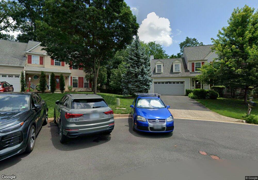
10101 Grape Myrtle Ct Manassas, VA 20110
Estimated Value: $703,306 - $745,000
4
Beds
4
Baths
2,227
Sq Ft
$326/Sq Ft
Est. Value
About This Home
This home is located at 10101 Grape Myrtle Ct, Manassas, VA 20110 and is currently estimated at $726,577, approximately $326 per square foot. 10101 Grape Myrtle Ct is a home located in Prince William County with nearby schools including Bennett Elementary School, Parkside Middle School, and Brentsville District High School.
Ownership History
Date
Name
Owned For
Owner Type
Purchase Details
Closed on
Apr 1, 1994
Sold by
Foster Bros Inc
Bought by
Mahoney Michael G
Current Estimated Value
Home Financials for this Owner
Home Financials are based on the most recent Mortgage that was taken out on this home.
Original Mortgage
$180,800
Interest Rate
7.07%
Create a Home Valuation Report for This Property
The Home Valuation Report is an in-depth analysis detailing your home's value as well as a comparison with similar homes in the area
Home Values in the Area
Average Home Value in this Area
Purchase History
| Date | Buyer | Sale Price | Title Company |
|---|---|---|---|
| Mahoney Michael G | $200,914 | -- |
Source: Public Records
Mortgage History
| Date | Status | Borrower | Loan Amount |
|---|---|---|---|
| Closed | Mahoney Michael G | $180,800 |
Source: Public Records
Tax History Compared to Growth
Tax History
| Year | Tax Paid | Tax Assessment Tax Assessment Total Assessment is a certain percentage of the fair market value that is determined by local assessors to be the total taxable value of land and additions on the property. | Land | Improvement |
|---|---|---|---|---|
| 2025 | $5,778 | $622,000 | $190,900 | $431,100 |
| 2024 | $5,778 | $581,000 | $181,800 | $399,200 |
| 2023 | $5,710 | $548,800 | $166,500 | $382,300 |
| 2022 | $5,848 | $517,700 | $155,300 | $362,400 |
| 2021 | $5,566 | $455,700 | $131,600 | $324,100 |
| 2020 | $6,674 | $430,600 | $120,800 | $309,800 |
| 2019 | $6,668 | $430,200 | $120,800 | $309,400 |
| 2018 | $4,907 | $406,400 | $115,100 | $291,300 |
| 2017 | $4,867 | $394,300 | $115,100 | $279,200 |
| 2016 | $4,652 | $380,100 | $115,100 | $265,000 |
| 2015 | $4,513 | $376,700 | $115,100 | $261,600 |
| 2014 | $4,513 | $360,700 | $111,800 | $248,900 |
Source: Public Records
Map
Nearby Homes
- 10170 Queens Way
- 10166 Queens Way
- BALMORAL Plan at Kings Landing
- HIGHGROVE Plan at Kings Landing
- 10102 Queens Way
- 10106 Queens Way
- 10114 Queens Way
- 10118 Queens Way
- 10130 Queens Way
- 9541 Justin Ln
- 10338 Ratcliffe Trail
- 9521 Vinnia Ct
- 10569 Speiden Trail
- 9444 Corey Dr
- 10878 Peachwood Dr
- 9348 Amaryllis Ave
- 9521 Country Roads Ln
- 10123 Erin Ct
- 9725 Cheshire Ridge Cir
- 9341 Amaryllis Ave
- 10105 Grape Myrtle Ct
- 10100 Grape Myrtle Ct
- 10073 Coffee Tree Ct
- 10077 Coffee Tree Ct
- 10109 Grape Myrtle Ct
- 10081 Coffee Tree Ct
- 10104 Grape Myrtle Ct
- 10344 Plum Tree Ct
- 10349 Lemon Tree Ct
- 10108 Grape Myrtle Ct
- 10072 Coffee Tree Ct
- 10085 Coffee Tree Ct
- 10113 Grape Myrtle Ct
- 10112 Grape Myrtle Ct
- 10350 Plum Tree Ct
- 10350 Lemon Tree Ct
- 10348 Plum Tree Ct
- 10089 Coffee Tree Ct
- 10117 Grape Myrtle Ct
- 10345 Plum Tree Ct