10101 State Highway 193 Placerville, CA 95667
Estimated Value: $241,000 - $428,384
2
Beds
1
Bath
864
Sq Ft
$359/Sq Ft
Est. Value
About This Home
This home is located at 10101 State Highway 193, Placerville, CA 95667 and is currently estimated at $310,128, approximately $358 per square foot. 10101 State Highway 193 is a home located in El Dorado County with nearby schools including Georgetown Elementary School and Golden Sierra Junior Senior High.
Ownership History
Date
Name
Owned For
Owner Type
Purchase Details
Closed on
May 30, 2024
Sold by
Rodman Nancy C
Bought by
Gary W Helderle Revocable Living Trust
Current Estimated Value
Purchase Details
Closed on
May 4, 2023
Sold by
Helderle Gary W
Bought by
Gary W Helderle Revocable Living Trust and Helderle
Create a Home Valuation Report for This Property
The Home Valuation Report is an in-depth analysis detailing your home's value as well as a comparison with similar homes in the area
Home Values in the Area
Average Home Value in this Area
Purchase History
| Date | Buyer | Sale Price | Title Company |
|---|---|---|---|
| Gary W Helderle Revocable Living Trust | -- | None Listed On Document | |
| Gary W Helderle Revocable Living Trust | -- | None Listed On Document |
Source: Public Records
Tax History Compared to Growth
Tax History
| Year | Tax Paid | Tax Assessment Tax Assessment Total Assessment is a certain percentage of the fair market value that is determined by local assessors to be the total taxable value of land and additions on the property. | Land | Improvement |
|---|---|---|---|---|
| 2025 | $1,082 | $85,557 | $42,126 | $43,431 |
| 2024 | $1,082 | $83,880 | $41,300 | $42,580 |
| 2023 | $1,062 | $82,237 | $40,491 | $41,746 |
| 2022 | $1,047 | $80,626 | $39,698 | $40,928 |
| 2021 | $1,014 | $79,046 | $38,920 | $40,126 |
| 2020 | $1,018 | $78,236 | $38,521 | $39,715 |
| 2019 | $1,001 | $76,703 | $37,766 | $38,937 |
| 2018 | $975 | $75,200 | $37,026 | $38,174 |
| 2017 | $958 | $73,726 | $36,300 | $37,426 |
| 2016 | $1,253 | $72,282 | $35,589 | $36,693 |
| 2015 | $1,206 | $71,198 | $35,055 | $36,143 |
| 2014 | $1,206 | $69,805 | $34,369 | $35,436 |
Source: Public Records
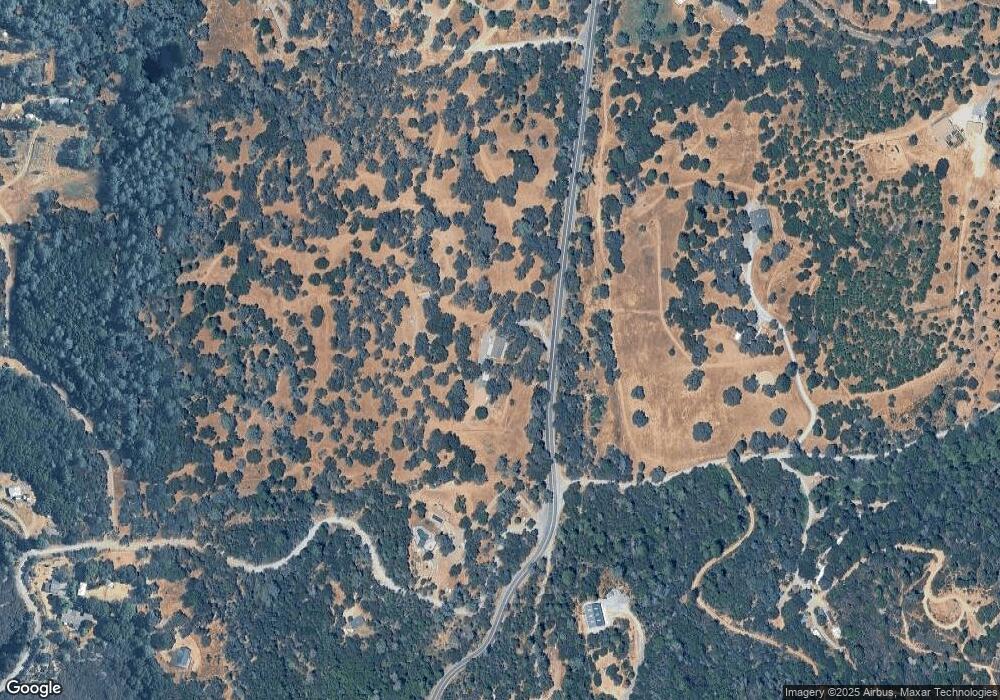
Map
Nearby Homes
- 6741 Big Sandy Ln
- 9970 State Highway 193
- 9951 State Highway 193
- 9803 State Highway 193
- 6545 Kelsey Rd
- 4017 Bright Hope Mine Rd
- 9220 Mule Skinner Rd
- 7145 Stewart Mine Rd
- 7155 Stewart Mine Rd
- 6194 Dark Canyon Rd
- 0 Light Canyon Rd Unit 225075234
- 6646 Sourdough Trail
- 9461 State Highway 193 Unit 27
- 9461 State Highway 193 Unit 22
- 2195 Dias Dr
- 6080 Spanish Flat Rd
- 4717 Lobo Trail
- 10180 Rock Creek Rd
- 1835 Sundown Trail
- 5821 Spanish Flat Rd
- 7740 Texas Canyon Rd
- 7000 Shoo Fly Rd
- 0 Texas Canyon Rd Unit 16041295
- 0 Texas Canyon Rd Unit 16068221
- 0 Texas Canyon Rd Unit 17033099
- 0 Texas Canyon Rd Unit 50014399
- 10021 State Highway 193
- 6700 Big Sandy Ln
- 7820 Texas Canyon Rd E
- 7600 Texas Canyon Rd E
- 9970 State Highway 193
- 9981 State Highway 193
- 10180 State Highway 193
- 10180 State Highway 193
- 6680 Big Sandy Ln
- 7879 Texas Canyon Rd
- 9950 State Highway 193
- 7571 Texas Canyon Rd
- 7900 Texas Canyon Rd E
- 9951 California 193