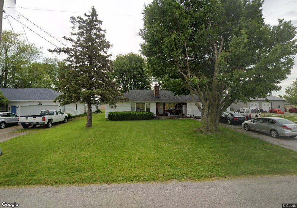
10102 Ransom Rd Monroeville, OH 44847
Estimated Value: $152,973 - $250,000
3
Beds
1
Bath
1,197
Sq Ft
$174/Sq Ft
Est. Value
About This Home
This home is located at 10102 Ransom Rd, Monroeville, OH 44847 and is currently estimated at $208,743, approximately $174 per square foot. 10102 Ransom Rd is a home located in Erie County with nearby schools including Furry Elementary School, Meadowlawn Elementary School, and Briar Middle School.
Ownership History
Date
Name
Owned For
Owner Type
Purchase Details
Closed on
Apr 12, 2018
Sold by
Dahs Eugene John
Bought by
Dahs John F
Current Estimated Value
Purchase Details
Closed on
Jan 1, 1987
Bought by
Dahs Eugene John
Create a Home Valuation Report for This Property
The Home Valuation Report is an in-depth analysis detailing your home's value as well as a comparison with similar homes in the area
Purchase History
| Date | Buyer | Sale Price | Title Company |
|---|---|---|---|
| Dahs John F | -- | -- | |
| Dahs Eugene John | -- | -- |
Source: Public Records
Tax History
| Year | Tax Paid | Tax Assessment Tax Assessment Total Assessment is a certain percentage of the fair market value that is determined by local assessors to be the total taxable value of land and additions on the property. | Land | Improvement |
|---|---|---|---|---|
| 2024 | $1,341 | $36,239 | $5,873 | $30,366 |
| 2023 | $1,347 | $27,387 | $5,341 | $22,046 |
| 2022 | $1,231 | $27,387 | $5,341 | $22,046 |
| 2021 | $1,226 | $27,390 | $5,340 | $22,050 |
| 2020 | $1,129 | $23,510 | $5,340 | $18,170 |
| 2019 | $1,167 | $23,510 | $5,340 | $18,170 |
| 2018 | $1,167 | $23,510 | $5,340 | $18,170 |
| 2017 | $1,139 | $22,520 | $3,920 | $18,600 |
| 2016 | $972 | $22,520 | $3,920 | $18,600 |
| 2015 | $953 | $22,520 | $3,920 | $18,600 |
| 2014 | $934 | $22,520 | $3,920 | $18,600 |
| 2013 | $918 | $22,520 | $3,920 | $18,600 |
Source: Public Records
Map
Nearby Homes
- 12310 Patten Tract Rd
- 6012 Mason Rd
- 7117 Mason Rd
- 8109 Hayes Ave
- 12714 US Highway 250 N
- 6378 Zachary Ln
- 38 Zachary Ln
- 0 Zachary Ln
- 21 Zachary Ln
- 32 Zachary Ln
- 40 Zachary Ln
- 28 Zachary Ln
- 3 Zachary Ln
- 22 Zachary Ln
- 6291 Zachary Ln
- 5420 Schenk Rd
- 4308 River Rd
- 1328 Lovers Lane Rd
- 8802 Mason Rd
- 1101 W Bogart Rd
- 10018 Ransom Rd
- 10106 Ransom Rd
- 10014 Ransom Rd
- 10110 Ransom Rd
- 10010 Ransom Rd
- 10112 Ransom Rd
- 10006 Ransom Rd
- 10116 Ransom Rd
- 10116 Ransom Rd
- 10117 Ransom Rd
- 4203 Strecker Rd
- 4101 Strecker Rd
- 4011 Strecker Rd
- 4516 Strecker Rd
- 3820 Strecker Rd
- 9616 Ransom Rd
- 3808 Strecker Rd
- 10518 Ransom Rd
- 3804 Strecker Rd
- 9610 Ransom Rd
Your Personal Tour Guide
Ask me questions while you tour the home.