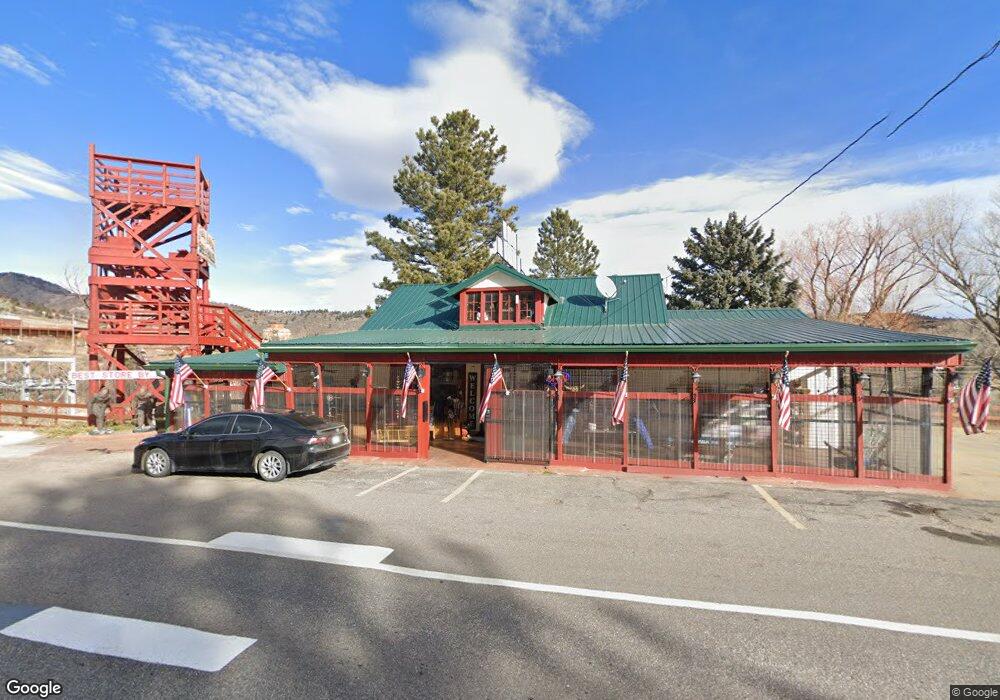
10103 U S 34 Loveland, CO 80537
Estimated Value: $762,000 - $817,059
--
Bed
2
Baths
7,059
Sq Ft
$112/Sq Ft
Est. Value
About This Home
This home is located at 10103 U S 34, Loveland, CO 80537 and is currently estimated at $788,353, approximately $111 per square foot. 10103 U S 34 is a home located in Larimer County with nearby schools including Big Thompson Elementary School, Walt Clark Middle School, and Thompson Valley High School.
Ownership History
Date
Name
Owned For
Owner Type
Purchase Details
Closed on
Feb 4, 2017
Sold by
Roberta J Olmstead Trust
Bought by
Sisters Of The West Lllp
Current Estimated Value
Purchase Details
Closed on
Nov 14, 2014
Sold by
Olmstead Roberta J
Bought by
Roberta J Olmstead Trust 2008
Purchase Details
Closed on
Dec 22, 2009
Sold by
The B Lester Olmstead Trust & 2008
Bought by
The B Lester Olmstead Trust & 2009
Purchase Details
Closed on
Feb 5, 2008
Sold by
Olmstead B Lester and Olmstead Roberta J
Bought by
B Lester Olmstead Trust 2008
Create a Home Valuation Report for This Property
The Home Valuation Report is an in-depth analysis detailing your home's value as well as a comparison with similar homes in the area
Home Values in the Area
Average Home Value in this Area
Purchase History
| Date | Buyer | Sale Price | Title Company |
|---|---|---|---|
| Sisters Of The West Lllp | $500,000 | First American | |
| Roberta J Olmstead Trust 2008 | -- | None Available | |
| The B Lester Olmstead Trust & 2009 | -- | None Available | |
| B Lester Olmstead Trust 2008 | -- | None Available |
Source: Public Records
Tax History Compared to Growth
Tax History
| Year | Tax Paid | Tax Assessment Tax Assessment Total Assessment is a certain percentage of the fair market value that is determined by local assessors to be the total taxable value of land and additions on the property. | Land | Improvement |
|---|---|---|---|---|
| 2025 | $9,527 | $129,054 | $63,365 | $65,689 |
| 2024 | $9,195 | $129,054 | $63,365 | $65,689 |
| 2022 | $8,706 | $110,370 | $26,630 | $83,740 |
| 2021 | $8,706 | $110,692 | $26,712 | $83,980 |
| 2020 | $8,901 | $113,162 | $26,712 | $86,450 |
| 2019 | $8,749 | $113,162 | $26,712 | $86,450 |
| 2016 | $7,003 | $2,242 | $0 | $0 |
Source: Public Records
Map
Nearby Homes
- 3005 N County Road 29
- 1031 W Us Highway 34
- 1828 N County Road 29
- 0 Tbd Bartram Park Rd
- 114 Jasper Lake Rd
- 38 Jasper Lake Rd
- 7831 W Us Highway 34
- 187 Grouse Hollow Ln
- 196 Mule Deer Dr
- 7467 W Us Highway 34
- 10297 N Forest View Dr
- 3064 Wildes Rd
- 7864 Heart J Trail
- 8150 Open View Place
- 400 Rugged Rock Rd
- 3604 Glade Rd
- 712 Colt Dr
- 512 Mustang Dr
- 1703 N County Road 23h
- 940 S County Road 29
- 10103 W Us Highway 34
- 10133 Hummingbird Ln
- 6338 Icegrass Ave
- 6370 Icegrass Ave
- 2823 Great Egret Ave
- 6394 Icegrass Ave
- 9 River Hollow Ln
- 10109 Hummingbird Ln
- 10005 W County Road 22h
- 7 River Hollow Ln
- 0 Hummingbird Ln
- 5 River Hollow Ln
- 10018 Hummingbird Ln
- 2944 N County Road 31d
- 10019 Hummingbird Ln
- 10007 Hummingbird Ln
- 10001 Hummingbird Ln
- 2939 N County Road 31d
- 2939 N County Road 31d
- 2939 N County Road 31d