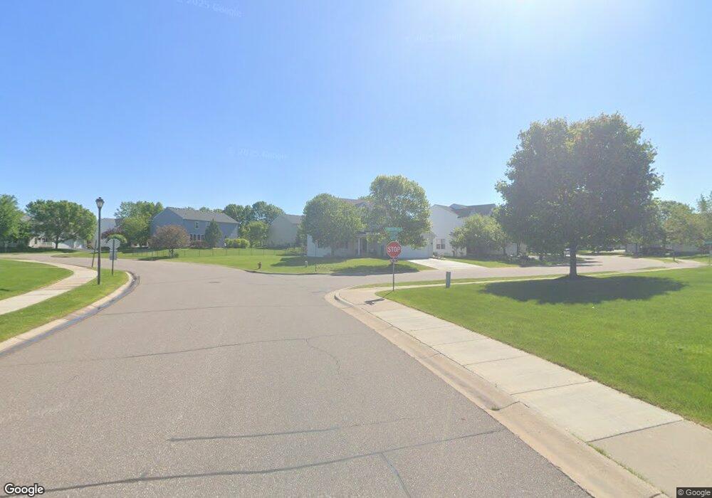
10104 42nd St NE Saint Michael, MN 55376
Estimated Value: $389,000 - $426,000
4
Beds
3
Baths
3,398
Sq Ft
$118/Sq Ft
Est. Value
About This Home
This home is located at 10104 42nd St NE, Saint Michael, MN 55376 and is currently estimated at $401,134, approximately $118 per square foot. 10104 42nd St NE is a home located in Wright County with nearby schools including St. Michael Elementary School, Albertville Primary School, and Middle School East.
Ownership History
Date
Name
Owned For
Owner Type
Purchase Details
Closed on
Jul 29, 2021
Sold by
Eull Kassandra and Eull Kassanda
Bought by
Wick Jon G
Current Estimated Value
Purchase Details
Closed on
Apr 25, 2019
Sold by
Battleson William E and Battleson Kelly
Bought by
Eull Kassanda
Home Financials for this Owner
Home Financials are based on the most recent Mortgage that was taken out on this home.
Original Mortgage
$283,274
Interest Rate
4.37%
Mortgage Type
FHA
Purchase Details
Closed on
Feb 15, 2007
Sold by
The Ryland Group Inc
Bought by
Battleson William E and Battleson Kelly
Purchase Details
Closed on
Jan 29, 2002
Sold by
Meadow Pond Llc
Bought by
Ryland Group Inc
Create a Home Valuation Report for This Property
The Home Valuation Report is an in-depth analysis detailing your home's value as well as a comparison with similar homes in the area
Home Values in the Area
Average Home Value in this Area
Purchase History
| Date | Buyer | Sale Price | Title Company |
|---|---|---|---|
| Wick Jon G | $350,000 | Partners Title Llc | |
| Eull Kassanda | $288,500 | Minnesota Title Corporate | |
| Battleson William E | $273,000 | -- | |
| Ryland Group Inc | $610,584 | -- | |
| Wick Jon Jon | $350,000 | -- |
Source: Public Records
Mortgage History
| Date | Status | Borrower | Loan Amount |
|---|---|---|---|
| Previous Owner | Eull Kassanda | $283,274 | |
| Closed | Wick Jon Jon | $297,500 |
Source: Public Records
Tax History Compared to Growth
Tax History
| Year | Tax Paid | Tax Assessment Tax Assessment Total Assessment is a certain percentage of the fair market value that is determined by local assessors to be the total taxable value of land and additions on the property. | Land | Improvement |
|---|---|---|---|---|
| 2025 | $4,176 | $367,600 | $61,000 | $306,600 |
| 2024 | $4,066 | $363,800 | $58,000 | $305,800 |
| 2023 | $4,054 | $383,800 | $60,500 | $323,300 |
| 2022 | $3,798 | $353,900 | $56,000 | $297,900 |
| 2021 | $3,884 | $291,000 | $40,000 | $251,000 |
| 2020 | $3,884 | $287,900 | $40,000 | $247,900 |
| 2019 | $3,742 | $281,400 | $0 | $0 |
| 2018 | $3,442 | $255,300 | $0 | $0 |
| 2017 | $3,196 | $241,100 | $0 | $0 |
| 2016 | $3,006 | $0 | $0 | $0 |
| 2015 | $2,956 | $0 | $0 | $0 |
| 2014 | -- | $0 | $0 | $0 |
Source: Public Records
Map
Nearby Homes
- 4220 Kady Ave NE
- 10140 42nd St NE
- 10101 41st Place NE
- 10209 41st Place NE
- 9935 41st St NE
- 4156 Jansen Ave NE
- 305 Maple Knoll Way NW
- 9729 42nd St NE
- 9720 42nd St NE
- 411 Maple Knoll Way NW
- The Harmony Plan at Anton Village
- Whitney Plan at Anton Village
- Wesley Plan at Anton Village
- St. Croix Plan at Anton Village
- Birchwood Plan at Anton Village
- Regent Plan at Anton Village
- Somerset Plan at Anton Village
- Woodbridge Plan at Anton Village
- The Jordan Plan at Anton Village
- The Jameson Plan at Anton Village
- 10092 42nd St NE Unit 23
- 10116 42nd St NE
- 10121 43rd Ct NE
- 10080 42nd St NE
- 10128 42nd St NE
- 10107 42nd St NE
- 4270 Kady Ave NE
- 10135 43rd Ct NE
- 10119 42nd St NE
- 10107 43rd Ct NE
- 4260 Kady Ave NE
- 10152 42nd St NE
- 10141 42nd St NE
- 4251 Kaeding Cir NE
- 10065 42nd St NE
- 4250 Kady Ave NE
- 10153 42nd St NE
- 4275 Kady Ave NE
- 10142 43rd Ct NE
- 4265 Kady Ave NE
