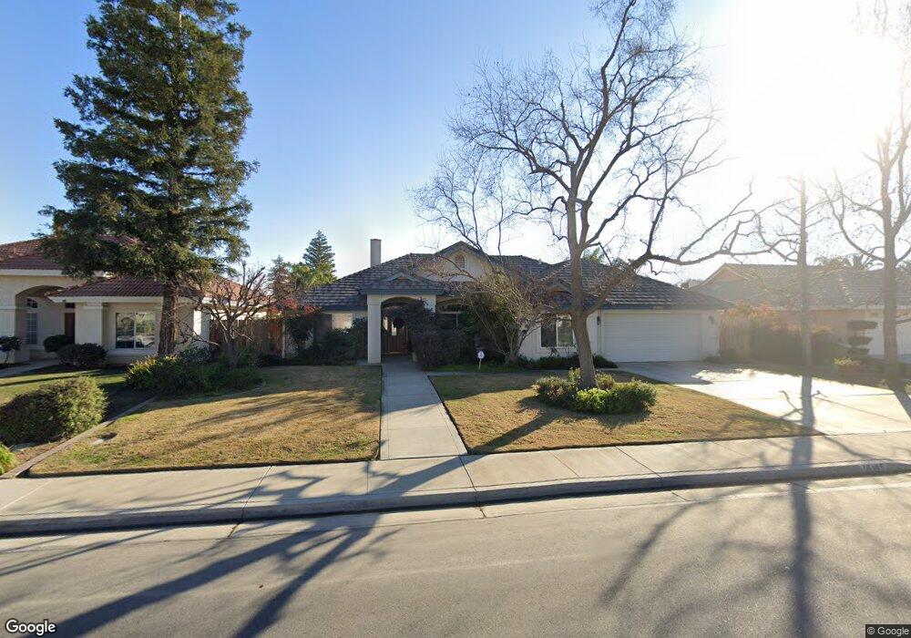
10105 Mountaingate Ln Bakersfield, CA 93311
Tevis Ranch NeighborhoodEstimated Value: $547,000 - $601,000
4
Beds
4
Baths
2,441
Sq Ft
$233/Sq Ft
Est. Value
About This Home
This home is located at 10105 Mountaingate Ln, Bakersfield, CA 93311 and is currently estimated at $568,241, approximately $232 per square foot. 10105 Mountaingate Ln is a home located in Kern County with nearby schools including Old River Elementary School, Earl Warren Junior High School, and Stockdale High School.
Ownership History
Date
Name
Owned For
Owner Type
Purchase Details
Closed on
Sep 23, 1998
Sold by
Soper Homes Inc
Bought by
Raub Vivian Tim and Raub Vivian Miriam
Current Estimated Value
Home Financials for this Owner
Home Financials are based on the most recent Mortgage that was taken out on this home.
Original Mortgage
$190,750
Outstanding Balance
$40,676
Interest Rate
6.88%
Estimated Equity
$527,565
Create a Home Valuation Report for This Property
The Home Valuation Report is an in-depth analysis detailing your home's value as well as a comparison with similar homes in the area
Home Values in the Area
Average Home Value in this Area
Purchase History
| Date | Buyer | Sale Price | Title Company |
|---|---|---|---|
| Raub Vivian Tim | $238,500 | First American Title Co |
Source: Public Records
Mortgage History
| Date | Status | Borrower | Loan Amount |
|---|---|---|---|
| Open | Raub Vivian Tim | $190,750 |
Source: Public Records
Tax History
| Year | Tax Paid | Tax Assessment Tax Assessment Total Assessment is a certain percentage of the fair market value that is determined by local assessors to be the total taxable value of land and additions on the property. | Land | Improvement |
|---|---|---|---|---|
| 2025 | $5,231 | $381,679 | $57,989 | $323,690 |
| 2024 | $5,161 | $374,196 | $56,852 | $317,344 |
| 2023 | $5,161 | $366,860 | $55,738 | $311,122 |
| 2022 | $4,963 | $359,668 | $54,646 | $305,022 |
| 2021 | $4,826 | $352,617 | $53,575 | $299,042 |
| 2020 | $4,845 | $349,003 | $53,026 | $295,977 |
| 2019 | $4,614 | $349,003 | $53,026 | $295,977 |
| 2018 | $4,397 | $335,454 | $50,968 | $284,486 |
| 2017 | $4,418 | $328,878 | $49,969 | $278,909 |
| 2016 | $4,121 | $322,431 | $48,990 | $273,441 |
| 2015 | $4,089 | $317,589 | $48,255 | $269,334 |
| 2014 | $3,902 | $311,369 | $47,310 | $264,059 |
Source: Public Records
Map
Nearby Homes
- 10103 Wentworth Ct
- 3508 Running Springs Way
- 3513 Running Springs Way
- 12635 Camino Glorieta
- 12611 Camino Fruteria
- 3223 Peace Rose St
- 10213 Single Oak Dr
- 10600 Petalo Dr
- 9815 Cabbage Rose Ave
- 10616 Petalo Dr
- 9711 Touchstone Dr
- 10703 Petalo Dr
- 9703 Touchstone Dr
- 10808 Tivoli Ct
- 10017 Timeless Rose Ct
- 10821 Tivoli Ct
- 2800 Blackjack Oak Ln
- 9413 Laurel Oak Way
- 10209 Keswick Dr
- 9500 Huntsman Oak Ct
- 10101 Mountaingate Ln
- 10109 Mountaingate Ln
- 10120 Sunset Canyon Dr
- 10200 Sunset Canyon Dr
- 10116 Sunset Canyon Dr
- 10115 Mountaingate Ln
- 10015 Mountaingate Ln
- 10204 Sunset Canyon Dr
- 10112 Sunset Canyon Dr
- 10104 Mountaingate Ln
- 10208 Sunset Canyon Dr
- 10108 Mountaingate Ln
- 10100 Mountaingate Ln
- 10117 Mountaingate Ln
- 10011 Mountaingate Ln
- 10108 Sunset Canyon Dr
- 10112 Mountaingate Ln
- 10014 Mountaingate Ln
- 10212 Sunset Canyon Dr
- 3500 Running Springs Way
Your Personal Tour Guide
Ask me questions while you tour the home.