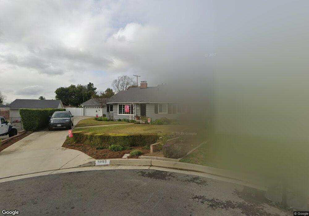
10105 Rosin Ave Whittier, CA 90603
South Whittier NeighborhoodEstimated Value: $1,055,000 - $1,221,000
4
Beds
3
Baths
2,210
Sq Ft
$517/Sq Ft
Est. Value
About This Home
This home is located at 10105 Rosin Ave, Whittier, CA 90603 and is currently estimated at $1,142,059, approximately $516 per square foot. 10105 Rosin Ave is a home located in Los Angeles County with nearby schools including Macy Elementary School, Rancho-Starbuck Intermediate School, and La Habra High School.
Ownership History
Date
Name
Owned For
Owner Type
Purchase Details
Closed on
Feb 19, 2015
Sold by
Knight Stephen F
Bought by
Knight Mary H
Current Estimated Value
Purchase Details
Closed on
Aug 18, 1993
Sold by
Henson Roger A and Henson Deborah K
Bought by
Knight Stephen F
Home Financials for this Owner
Home Financials are based on the most recent Mortgage that was taken out on this home.
Original Mortgage
$135,500
Interest Rate
6.94%
Create a Home Valuation Report for This Property
The Home Valuation Report is an in-depth analysis detailing your home's value as well as a comparison with similar homes in the area
Home Values in the Area
Average Home Value in this Area
Purchase History
| Date | Buyer | Sale Price | Title Company |
|---|---|---|---|
| Knight Mary H | -- | None Available | |
| Knight Stephen F | $260,000 | Southland Title Corporation |
Source: Public Records
Mortgage History
| Date | Status | Borrower | Loan Amount |
|---|---|---|---|
| Previous Owner | Knight Stephen F | $135,500 |
Source: Public Records
Tax History Compared to Growth
Tax History
| Year | Tax Paid | Tax Assessment Tax Assessment Total Assessment is a certain percentage of the fair market value that is determined by local assessors to be the total taxable value of land and additions on the property. | Land | Improvement |
|---|---|---|---|---|
| 2025 | $5,558 | $441,883 | $287,913 | $153,970 |
| 2024 | $5,558 | $433,219 | $282,268 | $150,951 |
| 2023 | $5,447 | $424,726 | $276,734 | $147,992 |
| 2022 | $5,379 | $416,399 | $271,308 | $145,091 |
| 2021 | $5,253 | $408,236 | $265,989 | $142,247 |
| 2019 | $5,097 | $396,129 | $258,100 | $138,029 |
| 2018 | $4,762 | $388,363 | $253,040 | $135,323 |
| 2016 | $4,579 | $373,284 | $243,215 | $130,069 |
| 2015 | $4,394 | $367,678 | $239,562 | $128,116 |
| 2014 | $4,317 | $360,477 | $234,870 | $125,607 |
Source: Public Records
Map
Nearby Homes
- 10303 Pounds Ave
- 16635 Monte Oro Dr
- 2401 Canfield Dr
- 1436 La Riata Dr
- 2311 Canfield Dr
- 10418 Bogardus Ave Unit 4
- 1525 Bonnie Jean Ln
- 16540 Whittier Blvd
- 0 Cloister Dr Unit OC24116252
- 9331 Mikinda Ave
- 15975 Graceldo Ln
- 16046 Gables Loop
- 16875 Sausalito Dr
- 9915 Corella Ave
- 9422 Canfield Dr
- 16164 Leffco Rd
- 2611 Gregory Ln
- 16121 Lisco St
- 15850 Arbela Dr
- 1700 Russell St
- 10109 Rosin Ave
- 10100 Rosin Ave
- 16438 Janine Dr
- 16446 Janine Dr
- 10110 Pounds Ave
- 10114 Pounds Ave
- 16430 Janine Dr
- 10115 Rosin Ave
- 16452 Janine Dr
- 10106 Rosin Ave
- 10110 Rosin Ave
- 10120 Pounds Ave
- 10116 Rosin Ave
- 10106 Pounds Ave
- 10125 Rosin Ave
- 16460 Janine Dr
- 16422 Janine Dr
- 10126 Pounds Ave
- 10124 Rosin Ave
- 10131 Rosin Ave