10107 N 6530 W Unit 7 Highland, UT 84003
Estimated Value: $956,203 - $1,595,000
7
Beds
7
Baths
6,301
Sq Ft
$204/Sq Ft
Est. Value
About This Home
This home is located at 10107 N 6530 W Unit 7, Highland, UT 84003 and is currently estimated at $1,283,801, approximately $203 per square foot. 10107 N 6530 W Unit 7 is a home located in Utah County with nearby schools including Freedom Elementary School, Mountain Ridge Junior High School, and American Fork High School.
Ownership History
Date
Name
Owned For
Owner Type
Purchase Details
Closed on
Oct 15, 2025
Sold by
Millhaven Construction Llc
Bought by
Ririe Peter A and Ririe Kathleen R
Current Estimated Value
Purchase Details
Closed on
Sep 23, 2024
Sold by
Ririe Peter
Bought by
Ririe Peter A and Ririe Kathleen R
Home Financials for this Owner
Home Financials are based on the most recent Mortgage that was taken out on this home.
Original Mortgage
$2,572,739
Interest Rate
6.49%
Mortgage Type
Construction
Purchase Details
Closed on
May 10, 2022
Sold by
David Norton
Bought by
Ririe Peter
Home Financials for this Owner
Home Financials are based on the most recent Mortgage that was taken out on this home.
Original Mortgage
$525,000
Interest Rate
4.52%
Mortgage Type
Balloon
Purchase Details
Closed on
Dec 29, 2021
Sold by
Millhaven Construction Llc
Bought by
Baxter Bart
Create a Home Valuation Report for This Property
The Home Valuation Report is an in-depth analysis detailing your home's value as well as a comparison with similar homes in the area
Home Values in the Area
Average Home Value in this Area
Purchase History
| Date | Buyer | Sale Price | Title Company |
|---|---|---|---|
| Ririe Peter A | -- | Union Title | |
| Ririe Peter A | -- | Atlas Title | |
| Ririe Peter | -- | New Title Company Name | |
| Baxter Bart | -- | Union Title |
Source: Public Records
Mortgage History
| Date | Status | Borrower | Loan Amount |
|---|---|---|---|
| Previous Owner | Ririe Peter A | $2,572,739 | |
| Previous Owner | Ririe Peter | $525,000 |
Source: Public Records
Tax History Compared to Growth
Tax History
| Year | Tax Paid | Tax Assessment Tax Assessment Total Assessment is a certain percentage of the fair market value that is determined by local assessors to be the total taxable value of land and additions on the property. | Land | Improvement |
|---|---|---|---|---|
| 2025 | $4,809 | $623,700 | $623,700 | $0 |
| 2024 | $4,809 | $594,000 | $0 | $0 |
| 2023 | $4,053 | $540,000 | $0 | $0 |
| 2022 | $4,381 | $566,000 | $566,000 | $0 |
| 2021 | $0 | $566,000 | $566,000 | $0 |
Source: Public Records
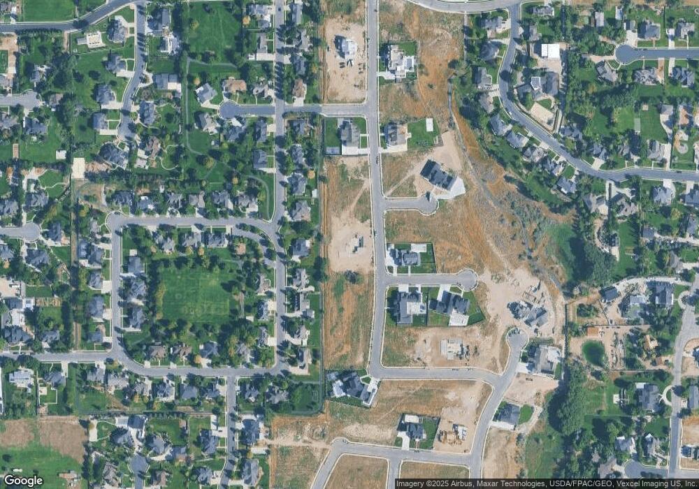
Map
Nearby Homes
- 9924 N 6630 W Unit 9
- 9967 N 6670 W
- 6576 W 9810 N
- 6190 W 10050 N
- 6372 W 10400 N
- 6373 W 10500 N
- 11337 N 5950 W Unit 7
- 9780 N 6000 W
- 9435 N Aspen Hollow Cir
- 356 W 1300 N
- 287 W 1360 N
- 6271 W 10830 St N
- 10197 N 5750 W
- 9796 N 5800 W
- 1602 E Center Pointe Dr
- 1602 E Center Pointe Dr Unit 1
- 1610 E Center Pointe Dr
- 1618 E Center Pointe Dr
- 859 E 2125 N
- 179 W 1290 N
- 10102 N 6580 W
- 10102 N 6580 W Unit 33
- 10126 N 6580 W
- 10126 N 6580 W Unit 47
- 10082 N 6580 W
- 10082 N 6580 W Unit 32
- 6498 W 10090 N
- 10142 N 6580 W
- 10142 N 6580 W Unit 48
- 10072 N 6580 W
- 10072 N 6580 W Unit 31
- 10068 N 6530 W
- 6506 W 10130 N Unit 19
- 10087 N 6580 W
- 10087 N 6580 W Unit 34
- 10168 N 6580 W
- 10168 N 6580 W Unit 49
- 10054 N 6580 W
- 10054 N 6580 W Unit 30
- 10071 N 6580 W