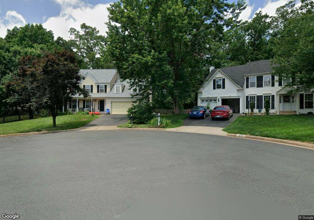
10108 Grape Myrtle Ct Manassas, VA 20110
Estimated Value: $678,390 - $799,000
4
Beds
4
Baths
2,227
Sq Ft
$329/Sq Ft
Est. Value
About This Home
This home is located at 10108 Grape Myrtle Ct, Manassas, VA 20110 and is currently estimated at $733,098, approximately $329 per square foot. 10108 Grape Myrtle Ct is a home located in Prince William County with nearby schools including Bennett Elementary School, Parkside Middle School, and Brentsville District High School.
Ownership History
Date
Name
Owned For
Owner Type
Purchase Details
Closed on
Feb 7, 2005
Sold by
Chittenden Patricia
Bought by
Chittenden Thomas
Current Estimated Value
Purchase Details
Closed on
Mar 30, 1994
Sold by
Foster Bros Inc
Bought by
Chittenden Thomas F
Home Financials for this Owner
Home Financials are based on the most recent Mortgage that was taken out on this home.
Original Mortgage
$173,500
Interest Rate
7.07%
Create a Home Valuation Report for This Property
The Home Valuation Report is an in-depth analysis detailing your home's value as well as a comparison with similar homes in the area
Home Values in the Area
Average Home Value in this Area
Purchase History
| Date | Buyer | Sale Price | Title Company |
|---|---|---|---|
| Chittenden Thomas | -- | -- | |
| Chittenden Thomas F | $192,888 | -- |
Source: Public Records
Mortgage History
| Date | Status | Borrower | Loan Amount |
|---|---|---|---|
| Previous Owner | Chittenden Thomas F | $173,500 |
Source: Public Records
Tax History
| Year | Tax Paid | Tax Assessment Tax Assessment Total Assessment is a certain percentage of the fair market value that is determined by local assessors to be the total taxable value of land and additions on the property. | Land | Improvement |
|---|---|---|---|---|
| 2025 | $5,638 | $607,100 | $189,500 | $417,600 |
| 2024 | $5,638 | $566,900 | $180,400 | $386,500 |
| 2023 | $5,567 | $535,000 | $165,100 | $369,900 |
| 2022 | $5,706 | $504,900 | $154,000 | $350,900 |
| 2021 | $5,432 | $444,500 | $130,300 | $314,200 |
| 2020 | $6,499 | $419,300 | $119,400 | $299,900 |
| 2019 | $6,487 | $418,500 | $119,400 | $299,100 |
| 2018 | $4,783 | $396,100 | $113,700 | $282,400 |
| 2017 | $4,749 | $384,500 | $113,700 | $270,800 |
| 2016 | $4,540 | $370,800 | $113,700 | $257,100 |
| 2015 | $4,403 | $367,400 | $113,700 | $253,700 |
| 2014 | $4,403 | $351,700 | $110,400 | $241,300 |
Source: Public Records
Map
Nearby Homes
- 10173 Queens Way
- 10169 Queens Way
- 10165 Queens Way
- 10161 Queens Way
- 10157 Queens Way
- 10150 Queens Way
- BALMORAL Plan at Kings Landing
- HIGHGROVE Plan at Kings Landing
- 10106 Queens Way
- 10114 Queens Way
- 10501 Winged Elm Cir
- 10283 Cedar Ridge Dr
- 9539 Justin Ln
- 9634 Branchview Ln
- 10416 Monterosa Place
- 10391 Aragon Ct
- 10436 Ratcliffe Trail
- 10529 Wenrich Trail
- 9440 Flowerden Ln
- 9348 Amaryllis Ave
- 10112 Grape Myrtle Ct
- 10104 Grape Myrtle Ct
- 10116 Grape Myrtle Ct
- 10241 Winged Elm Cir
- 10100 Grape Myrtle Ct
- 10233 Winged Elm Cir
- 10245 Winged Elm Cir
- 10237 Winged Elm Cir
- 10105 Grape Myrtle Ct
- 10109 Grape Myrtle Ct
- 10101 Grape Myrtle Ct
- 10249 Winged Elm Cir
- 10113 Grape Myrtle Ct
- 10229 Winged Elm Cir
- 10085 Coffee Tree Ct
- 10081 Coffee Tree Ct
- 10117 Grape Myrtle Ct
- 10089 Coffee Tree Ct
- 10077 Coffee Tree Ct
- 10225 Winged Elm Cir