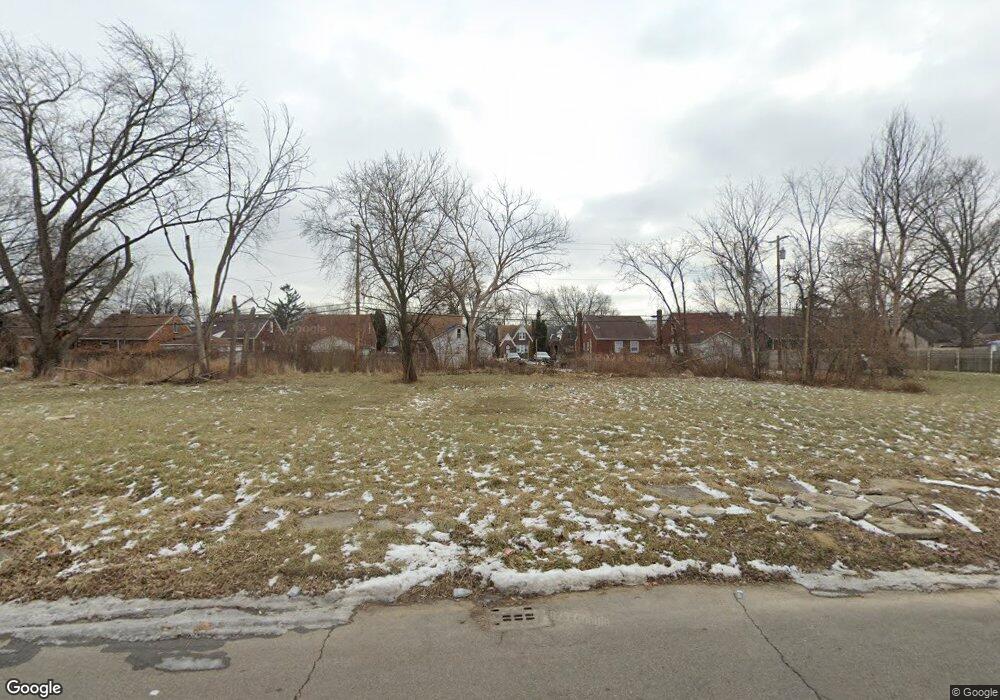
10108 Nottingham Rd Detroit, MI 48224
Outer Drive-Hayes NeighborhoodEstimated Value: $44,000 - $115,000
--
Bed
1
Bath
1,224
Sq Ft
$65/Sq Ft
Est. Value
About This Home
This home is located at 10108 Nottingham Rd, Detroit, MI 48224 and is currently estimated at $79,500, approximately $64 per square foot. 10108 Nottingham Rd is a home located in Wayne County with nearby schools including Wayne Elementary School, Edward 'Duke' Ellington Conservatory of Music and Art, and Charles L. Spain Elementary-Middle School.
Ownership History
Date
Name
Owned For
Owner Type
Purchase Details
Closed on
Feb 7, 2013
Sold by
Wayne County Treasurer
Bought by
Planning & Development Dept City Of Detr
Current Estimated Value
Purchase Details
Closed on
Jan 9, 2002
Sold by
Department Of Housing
Bought by
Farris Lovell L
Purchase Details
Closed on
Dec 13, 2000
Sold by
Atlantic Mtg & Investmen
Bought by
The Secretary Of Hud
Purchase Details
Closed on
Sep 29, 1999
Purchase Details
Closed on
Jul 31, 1995
Sold by
Mmc Financial Group Ltd
Bought by
Mortgage Corp Of America
Create a Home Valuation Report for This Property
The Home Valuation Report is an in-depth analysis detailing your home's value as well as a comparison with similar homes in the area
Home Values in the Area
Average Home Value in this Area
Purchase History
| Date | Buyer | Sale Price | Title Company |
|---|---|---|---|
| Planning & Development Dept City Of Detr | -- | None Available | |
| Farris Lovell L | $20,357 | -- | |
| The Secretary Of Hud | -- | -- | |
| -- | $49,980 | -- | |
| Mortgage Corp Of America | $282,750 | -- |
Source: Public Records
Tax History Compared to Growth
Tax History
| Year | Tax Paid | Tax Assessment Tax Assessment Total Assessment is a certain percentage of the fair market value that is determined by local assessors to be the total taxable value of land and additions on the property. | Land | Improvement |
|---|---|---|---|---|
| 2025 | -- | $0 | $0 | $0 |
| 2024 | -- | $0 | $0 | $0 |
| 2023 | $0 | $0 | $0 | $0 |
| 2022 | -- | $0 | $0 | $0 |
| 2021 | $0 | $0 | $0 | $0 |
| 2020 | $1,567 | $0 | $0 | $0 |
| 2019 | $1,567 | $0 | $0 | $0 |
| 2018 | $0 | $0 | $0 | $0 |
| 2017 | $980 | $0 | $0 | $0 |
| 2016 | $980 | $9,800 | $0 | $0 |
| 2015 | $980 | $9,800 | $0 | $0 |
| 2013 | $1,355 | $13,546 | $0 | $0 |
| 2010 | -- | $19,861 | $797 | $19,064 |
Source: Public Records
Map
Nearby Homes
- 9899 Balfour Rd
- 9910 Somerset Ave
- 10326 Beaconsfield St
- 10345 Greensboro St
- 10029 Balfour Rd
- 10366 Roxbury St
- 10336 Roxbury St
- 10172 Somerset Ave
- 10415 Roxbury St
- 9803 Nottingham Rd
- 10303 Roxbury St
- 9316 Mckinney St
- 9300 Mckinney St
- 10468 Lakepointe St
- 10521 Roxbury St
- 10420 Lakepointe St
- 9265 Bedford St
- 10346 Lakepointe St
- 9205 Mckinney St
- 9833 Berkshire St
- 10100 Nottingham Rd
- 10114 Nottingham Rd
- 10122 Nottingham Rd
- 10096 Nottingham Rd
- 10086 Nottingham Rd
- 10130 Nottingham Rd
- 10115 Nottingham Rd
- 9997 Somerset Ave
- 10107 Nottingham Rd
- 10080 Nottingham Rd
- 10138 Nottingham Rd
- 10123 Nottingham Rd
- 9989 Somerset Ave
- 10005 Somerset Ave
- 10089 Nottingham Rd
- 10131 Nottingham Rd
- 10015 Somerset Ave
- 10076 Nottingham Rd
- 10023 Somerset Ave
- 9981 Somerset Ave