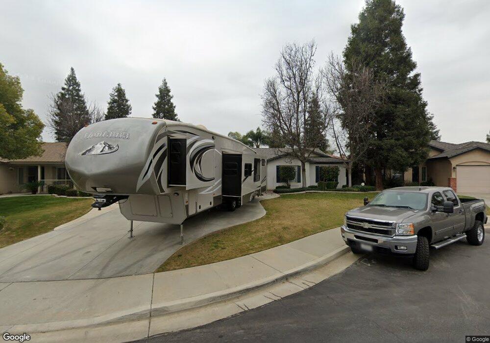
10109 Commodore Dr Bakersfield, CA 93312
Hampton Woods NeighborhoodEstimated Value: $437,874 - $459,000
3
Beds
2
Baths
2,000
Sq Ft
$224/Sq Ft
Est. Value
About This Home
This home is located at 10109 Commodore Dr, Bakersfield, CA 93312 and is currently estimated at $447,969, approximately $223 per square foot. 10109 Commodore Dr is a home located in Kern County with nearby schools including Norris Elementary School, Norris Middle School, and Centennial High School.
Ownership History
Date
Name
Owned For
Owner Type
Purchase Details
Closed on
Feb 2, 2026
Sold by
Toler William Edward and Toler Bobbie Jo
Bought by
Toler Family Living Trust and Toler
Current Estimated Value
Purchase Details
Closed on
Jun 20, 2003
Sold by
Mcmillin Madison Grove Llc
Bought by
Toler William Edward and Toler Bobbie Jo
Home Financials for this Owner
Home Financials are based on the most recent Mortgage that was taken out on this home.
Original Mortgage
$154,000
Interest Rate
5.37%
Mortgage Type
Purchase Money Mortgage
Create a Home Valuation Report for This Property
The Home Valuation Report is an in-depth analysis detailing your home's value as well as a comparison with similar homes in the area
Home Values in the Area
Average Home Value in this Area
Purchase History
| Date | Buyer | Sale Price | Title Company |
|---|---|---|---|
| Toler Family Living Trust | -- | None Listed On Document | |
| Toler William Edward | $181,000 | First American Title |
Source: Public Records
Mortgage History
| Date | Status | Borrower | Loan Amount |
|---|---|---|---|
| Previous Owner | Toler William Edward | $154,000 |
Source: Public Records
Tax History
| Year | Tax Paid | Tax Assessment Tax Assessment Total Assessment is a certain percentage of the fair market value that is determined by local assessors to be the total taxable value of land and additions on the property. | Land | Improvement |
|---|---|---|---|---|
| 2025 | $4,370 | $281,991 | $50,680 | $231,311 |
| 2024 | $4,285 | $276,464 | $49,687 | $226,777 |
| 2023 | $4,285 | $271,045 | $48,713 | $222,332 |
| 2022 | $4,224 | $265,732 | $47,758 | $217,974 |
| 2021 | $4,122 | $260,523 | $46,822 | $213,701 |
| 2020 | $4,113 | $257,853 | $46,342 | $211,511 |
| 2019 | $3,870 | $257,853 | $46,342 | $211,511 |
| 2018 | $3,868 | $247,843 | $44,544 | $203,299 |
| 2017 | $3,861 | $242,985 | $43,671 | $199,314 |
| 2016 | $3,654 | $238,222 | $42,815 | $195,407 |
| 2015 | $3,590 | $234,645 | $42,172 | $192,473 |
| 2014 | $3,511 | $230,050 | $41,346 | $188,704 |
Source: Public Records
Map
Nearby Homes
- 10110 Salerosa Ct
- 10106 Salerosa Ct
- 9721 Manhattan Dr
- 7216 Cafe Rouge Dr
- 10716 Alexander Falls Ave
- 9317 Leslie Deann Ct
- 9912 Mona Lisa Ln
- 9448 Val di Chiana Dr
- 10807 Alexander Falls Ave
- 9320 Quail Brook Ct
- 7105 Triple Falls Dr
- 9909 Mona Lisa Ln
- 9713 Mona Lisa Ln
- 6719 Stafford Falls Dr
- 10420 Victoria Falls Ave
- 6019 Shangri la Ln
- 9026 Forest Oaks Ct
- 6011 Oneida Falls Dr
- 9111 Birch Creek Ct
- 9318 Rancho Viejo Dr
- 10105 Commodore Dr
- 10113 Commodore Dr
- 10101 Commodore Dr
- 10114 Salerosa Ct
- 10102 Salerosa Ct
- 10108 Commodore Dr
- 10015 Commodore Dr
- 10104 Commodore Dr
- 10118 Salerosa Ct
- 10112 Commodore Dr
- 10116 Commodore Dr
- 10100 Commodore Dr
- 10008 Salerosa Ct
- 10011 Commodore Dr
- 10204 Malaguena Ct
- 10004 Salerosa Ct
- 10200 Malaguena Ct
- 10207 Dorsey Ct
- 10107 Copa Cabana Ct
Your Personal Tour Guide
Ask me questions while you tour the home.