1011 A L Cooper Rd McMinnville, TN 37110
Estimated Value: $228,000 - $716,000
--
Bed
1
Bath
1,542
Sq Ft
$282/Sq Ft
Est. Value
About This Home
This home is located at 1011 A L Cooper Rd, McMinnville, TN 37110 and is currently estimated at $435,244, approximately $282 per square foot. 1011 A L Cooper Rd is a home located in Warren County with nearby schools including Dibrell Elementary School and Warren County High School.
Ownership History
Date
Name
Owned For
Owner Type
Purchase Details
Closed on
Jun 30, 2022
Sold by
Martin Claudia P
Bought by
Watson Dellan
Current Estimated Value
Purchase Details
Closed on
Oct 7, 2015
Sold by
Cooper Dora Elizabeth Estate
Bought by
Robertson Jeffery L and Robertson Tara A
Home Financials for this Owner
Home Financials are based on the most recent Mortgage that was taken out on this home.
Original Mortgage
$200,000
Interest Rate
3.94%
Mortgage Type
New Conventional
Purchase Details
Closed on
Jul 29, 2002
Sold by
Cooper A L A and Cooper Dora E
Bought by
Cooper and Ramona
Purchase Details
Closed on
May 25, 1967
Purchase Details
Closed on
Jul 16, 1962
Purchase Details
Closed on
Apr 2, 1956
Sold by
Cooper A L
Bought by
Robertson Jeffery L and Robert Tara A
Create a Home Valuation Report for This Property
The Home Valuation Report is an in-depth analysis detailing your home's value as well as a comparison with similar homes in the area
Home Values in the Area
Average Home Value in this Area
Purchase History
| Date | Buyer | Sale Price | Title Company |
|---|---|---|---|
| Watson Dellan | -- | Access Title | |
| Robertson Jeffery L | $262,000 | -- | |
| Cooper | $10,000 | -- | |
| -- | -- | -- | |
| -- | -- | -- | |
| Robertson Jeffery L | -- | -- |
Source: Public Records
Mortgage History
| Date | Status | Borrower | Loan Amount |
|---|---|---|---|
| Previous Owner | Robertson Jeffery L | $200,000 |
Source: Public Records
Tax History Compared to Growth
Tax History
| Year | Tax Paid | Tax Assessment Tax Assessment Total Assessment is a certain percentage of the fair market value that is determined by local assessors to be the total taxable value of land and additions on the property. | Land | Improvement |
|---|---|---|---|---|
| 2024 | $860 | $43,725 | $27,450 | $16,275 |
| 2023 | $860 | $43,725 | $27,450 | $16,275 |
| 2022 | $860 | $43,725 | $27,450 | $16,275 |
| 2021 | $860 | $43,725 | $27,450 | $16,275 |
| 2020 | $820 | $43,725 | $27,450 | $16,275 |
| 2019 | $937 | $41,725 | $28,350 | $13,375 |
| 2018 | $820 | $41,725 | $28,350 | $13,375 |
| 2017 | $820 | $41,725 | $28,350 | $13,375 |
| 2016 | $820 | $41,725 | $28,350 | $13,375 |
| 2015 | $1,289 | $64,600 | $51,225 | $13,375 |
| 2014 | $724 | $41,425 | $28,175 | $13,250 |
| 2013 | $724 | $36,303 | $0 | $0 |
Source: Public Records
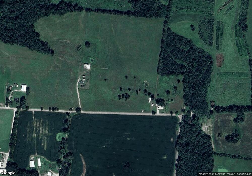
Map
Nearby Homes
- 6390 Francis Ferry Rd
- 7985 Francis Ferry Rd
- 7160 Francis Ferry Rd
- 5101 Hennessee Bridge Rd
- 9656 Francis Ferry Rd
- 525 Newby Rd
- 156 Collins River Dr
- 8324 Smithville Hwy
- 268 Mike Muncey Rd
- 1530 Mike Muncey Rd
- 682 New Bildad Rd
- 266 Hampton Pointe Ln
- 530 Davis St
- 566 Locke Bend Rd
- 0 Warren County Park Rd
- 6005 Smithville Hwy
- 740 College Rd
- 1992 Locke Bend Rd
- 0 C Rowland Rd
- 52 Dale St
- 823 A L Cooper Rd
- 665 A L Cooper Rd
- 794 A L Cooper Rd
- 1827 Boren Rd
- 200 Fuston Ln
- 460 Fuston Ln
- 4330 Highland Rd
- 4138 Highland Rd
- 145 Fuston Ln
- 37 A L Cooper Rd
- 4844 Highland Rd
- 1565 Boren Rd
- 4237 Highland Rd Unit 4153
- 4554 E Green Hill Rd
- 3897 Highland Rd
- 4507 E Green Hill Rd
- 4355 E Green Hill Rd
- 3588 Highland Rd
- 3450 Highland Rd
- 4096 E Green Hill Rd