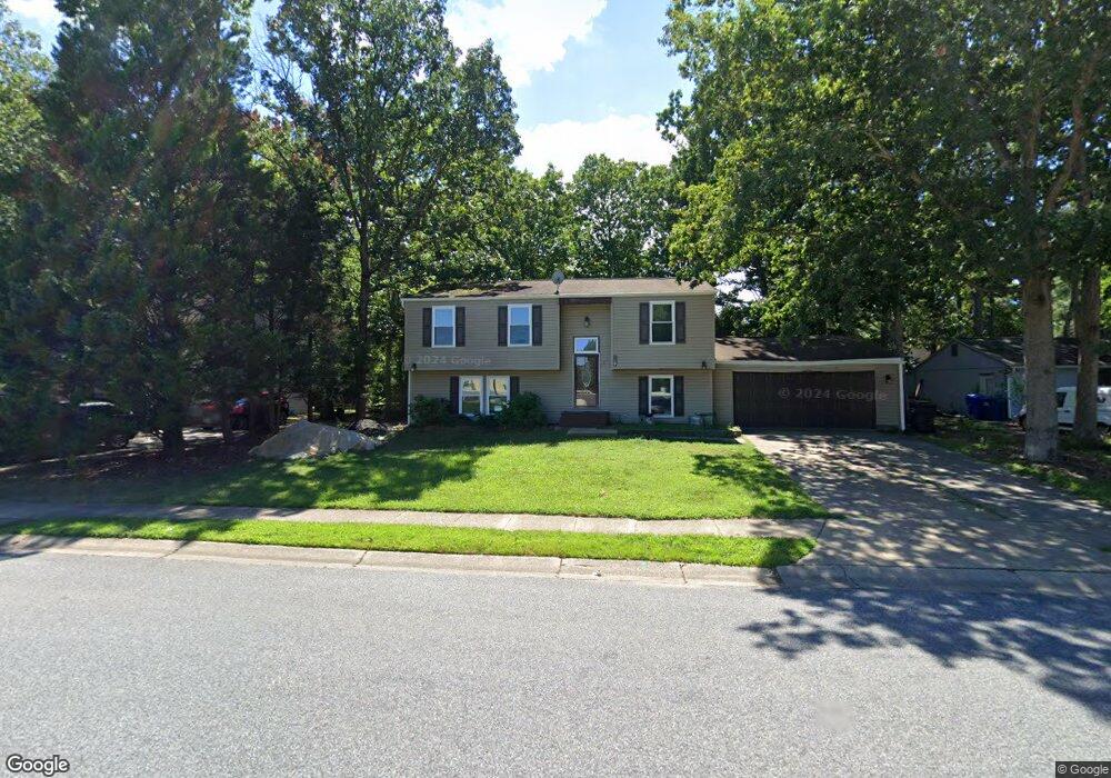
1011 Bannister Cir Waldorf, MD 20602
Estimated Value: $356,000 - $404,000
--
Bed
2
Baths
994
Sq Ft
$375/Sq Ft
Est. Value
About This Home
This home is located at 1011 Bannister Cir, Waldorf, MD 20602 and is currently estimated at $372,829, approximately $375 per square foot. 1011 Bannister Cir is a home located in Charles County with nearby schools including Eva Turner Elementary School, Benjamin Stoddert Middle School, and St. Charles High School.
Ownership History
Date
Name
Owned For
Owner Type
Purchase Details
Closed on
Feb 2, 2023
Sold by
Ellis Michael Tracy
Bought by
Ellis Michael Tracy
Current Estimated Value
Purchase Details
Closed on
Jun 2, 2004
Sold by
Secretary Of Housing & Urban Dev
Bought by
Cullum Felicia Michael Ellis
Purchase Details
Closed on
Jan 28, 2004
Sold by
Manderville Jeffrey B and Manderville Karlene A
Bought by
Secretary Of Housing & Urban Dev
Purchase Details
Closed on
Jul 16, 1998
Sold by
Mcpherson Charles N and Mcpherson Dana J
Bought by
Manderville Jeffrey B and Manderville Karlene A
Create a Home Valuation Report for This Property
The Home Valuation Report is an in-depth analysis detailing your home's value as well as a comparison with similar homes in the area
Home Values in the Area
Average Home Value in this Area
Purchase History
| Date | Buyer | Sale Price | Title Company |
|---|---|---|---|
| Ellis Michael Tracy | -- | -- | |
| Cullum Felicia Michael Ellis | $195,000 | -- | |
| Secretary Of Housing & Urban Dev | $40,000 | -- | |
| Manderville Jeffrey B | $137,000 | -- |
Source: Public Records
Mortgage History
| Date | Status | Borrower | Loan Amount |
|---|---|---|---|
| Closed | Manderville Jeffrey B | -- |
Source: Public Records
Tax History Compared to Growth
Tax History
| Year | Tax Paid | Tax Assessment Tax Assessment Total Assessment is a certain percentage of the fair market value that is determined by local assessors to be the total taxable value of land and additions on the property. | Land | Improvement |
|---|---|---|---|---|
| 2025 | $9,490 | $306,367 | -- | -- |
| 2024 | $4,183 | $293,200 | $120,000 | $173,200 |
| 2023 | $3,881 | $271,600 | $0 | $0 |
| 2022 | $3,560 | $250,000 | $0 | $0 |
| 2021 | $3,116 | $228,400 | $90,000 | $138,400 |
| 2020 | $3,116 | $219,733 | $0 | $0 |
| 2019 | $2,986 | $211,067 | $0 | $0 |
| 2018 | $2,832 | $202,400 | $85,000 | $117,400 |
| 2017 | $2,724 | $194,767 | $0 | $0 |
| 2016 | -- | $187,133 | $0 | $0 |
| 2015 | $2,440 | $179,500 | $0 | $0 |
| 2014 | $2,440 | $179,500 | $0 | $0 |
Source: Public Records
Map
Nearby Homes
- 1404 Boswell Ct
- 1756 Brightwell Ct
- 5123 Shawe Place Unit C
- 4504C Ruston Place Unit 41-M
- 2103 Gibbons Ct
- 4532 Reeves Place Unit C
- 4300 Eagle Trace Ct
- 4373 Rock Ct
- 4600 Angushire Ct
- 3525 Norwood Ct
- 4471 Quinn Ct
- 1180 Bannister Cir
- 2625 Ferguson Ct
- 4430 Quillen Cir
- 11613 Bardmoor Ct
- 4973 Derryfield Ct
- 4909 Cordova Ct
- 4071 Powell Ct
- 1002 Dartmouth Rd
- 4460 Red Rome Ct
- 1009 Bannister Cir
- 1013 Bannister Cir
- 1261 Allen Ct
- 1263 Allen Ct
- 1015 Bannister Cir
- 1213 Addison Ct
- 1215 Addison Ct
- 1260 Allen Ct
- 1265 Allen Ct
- 4951 Stonehedge Ct
- 1414 Boswell Ct
- 1544 Bryan Ct
- 1412 Boswell Ct
- 1546 Bryan Ct
- 1262 Allen Ct
- 1548 Bryan Ct
- 1264 Allen Ct
- 1550 Bryan Ct
- 1410 Boswell Ct
- 1538 Bryan Ct