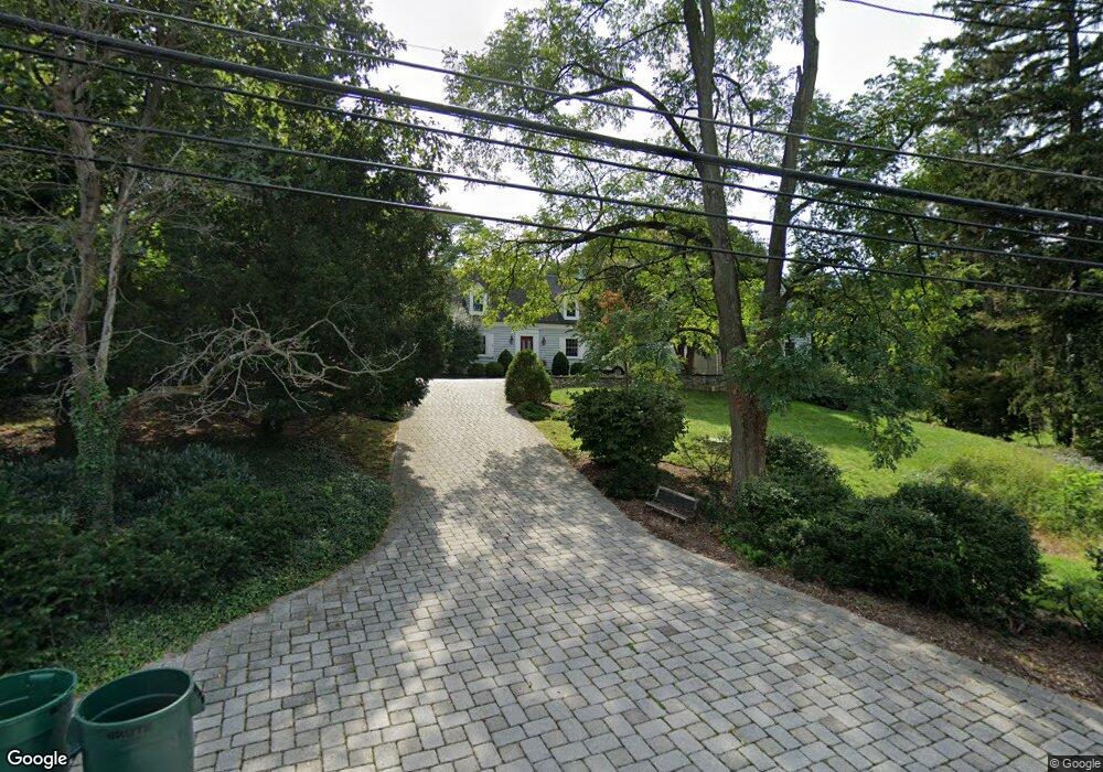
1011 Boyce Ave Towson, MD 21204
Ruxton NeighborhoodEstimated Value: $730,000 - $894,518
3
Beds
5
Baths
3,320
Sq Ft
$246/Sq Ft
Est. Value
About This Home
This home is located at 1011 Boyce Ave, Towson, MD 21204 and is currently estimated at $816,173, approximately $245 per square foot. 1011 Boyce Ave is a home located in Baltimore County with nearby schools including West Towson Elementary School, Dumbarton Middle School, and Towson High Law & Public Policy.
Ownership History
Date
Name
Owned For
Owner Type
Purchase Details
Closed on
Dec 19, 2011
Sold by
Mantakos George H and Mantakos Antoinette M
Bought by
Lutz Adam C and Lutz Jodi W
Current Estimated Value
Home Financials for this Owner
Home Financials are based on the most recent Mortgage that was taken out on this home.
Original Mortgage
$45,500
Outstanding Balance
$24,184
Interest Rate
4%
Mortgage Type
Credit Line Revolving
Estimated Equity
$791,989
Purchase Details
Closed on
Feb 12, 2001
Sold by
Connor Margaret S
Bought by
Mantakos George H and Mantakos Antoinette M
Create a Home Valuation Report for This Property
The Home Valuation Report is an in-depth analysis detailing your home's value as well as a comparison with similar homes in the area
Home Values in the Area
Average Home Value in this Area
Purchase History
| Date | Buyer | Sale Price | Title Company |
|---|---|---|---|
| Lutz Adam C | $675,000 | Lawyers Trust Title Company | |
| Mantakos George H | $310,000 | -- |
Source: Public Records
Mortgage History
| Date | Status | Borrower | Loan Amount |
|---|---|---|---|
| Open | Lutz Adam C | $45,500 | |
| Open | Lutz Adam C | $494,500 |
Source: Public Records
Tax History
| Year | Tax Paid | Tax Assessment Tax Assessment Total Assessment is a certain percentage of the fair market value that is determined by local assessors to be the total taxable value of land and additions on the property. | Land | Improvement |
|---|---|---|---|---|
| 2025 | $7,824 | $590,100 | $330,200 | $259,900 |
| 2024 | $7,824 | $571,200 | $0 | $0 |
| 2023 | $3,505 | $552,300 | $0 | $0 |
| 2022 | $6,006 | $533,400 | $307,000 | $226,400 |
| 2021 | $6,228 | $515,600 | $0 | $0 |
| 2020 | $6,033 | $497,800 | $0 | $0 |
| 2019 | $5,818 | $480,000 | $307,000 | $173,000 |
| 2018 | $6,000 | $480,000 | $307,000 | $173,000 |
| 2017 | $5,969 | $480,000 | $0 | $0 |
| 2016 | $4,306 | $480,100 | $0 | $0 |
| 2015 | $4,306 | $480,100 | $0 | $0 |
| 2014 | $4,306 | $480,100 | $0 | $0 |
Source: Public Records
Map
Nearby Homes
- 1008 W Wind Ct
- 448 Range Rd
- 901 Navy Rd
- 425 Woodbine Ave
- 922 Rolandvue Rd
- 1006 W Joppa Rd
- 0 Charlesway
- 8328 Bellona Ave
- 2 Riderwood Station
- 1500 Willow Ave
- 507 Allegheny Ave
- 19 Coldwater Ct
- 132 Warwick Dr
- 1213 Trappe Ln
- 8223 Ruxton Crossing Ct
- 1806 Roland Ave
- 7506 Lhirondelle Club Rd
- 8007 Strauff Rd
- 212 Lincoln Ave
- 12 Coniston Rd
- 1013 Boyce Ave
- 1009 Boyce Ave
- 1208 Berwick Rd
- 1007 Boyce Ave
- 1015 Boyce Ave
- 1005 Boyce Ave
- 1101 Boyce Ave
- 318 N Wind Rd
- 1003 Boyce Ave
- 317 N Wind Rd
- 316 W Wind Rd
- 316 N Wind Rd
- 314 W Wind Rd
- 0 Maryland 139
- 315 N Wind Rd
- 6810 N Charles St
- 312 W Wind Rd
- 500 Chestnut Ave
- 908 E Wind Rd
- 6902 N Charles St
Your Personal Tour Guide
Ask me questions while you tour the home.