Estimated Value: $241,634 - $311,000
Studio
--
Bath
1,434
Sq Ft
$190/Sq Ft
Est. Value
About This Home
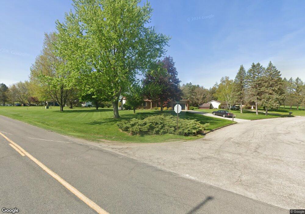
This home is located at 1011 Killdeer Dr, Mason, MI 48854 and is currently estimated at $272,159, approximately $189 per square foot. 1011 Killdeer Dr is a home located in Ingham County with nearby schools including Mason High School.
Ownership History
Date
Name
Owned For
Owner Type
Purchase Details
Closed on
Aug 15, 2025
Sold by
St Pierre David L and St Pierre Lisa M
Bought by
St Pierre Family Trust and St Pierre
Current Estimated Value
Purchase Details
Closed on
Nov 2, 1995
Bought by
Stpierre David
Purchase Details
Closed on
May 7, 1979
Bought by
Every Eugene
Create a Home Valuation Report for This Property
The Home Valuation Report is an in-depth analysis detailing your home's value as well as a comparison with similar homes in the area
Home Values in the Area
Average Home Value in this Area
Purchase History
| Date | Buyer | Sale Price | Title Company |
|---|---|---|---|
| St Pierre Family Trust | -- | None Listed On Document | |
| Stpierre David | $122,000 | -- | |
| Every Eugene | $66,000 | -- |
Source: Public Records
Tax History
| Year | Tax Paid | Tax Assessment Tax Assessment Total Assessment is a certain percentage of the fair market value that is determined by local assessors to be the total taxable value of land and additions on the property. | Land | Improvement |
|---|---|---|---|---|
| 2025 | $3,024 | $112,700 | $15,900 | $96,800 |
| 2024 | $2,828 | $109,200 | $15,250 | $93,950 |
| 2023 | $2,828 | $98,000 | $14,650 | $83,350 |
| 2022 | $2,683 | $90,550 | $14,500 | $76,050 |
| 2021 | $2,640 | $87,750 | $12,200 | $75,550 |
| 2020 | $2,568 | $75,250 | $12,200 | $63,050 |
| 2019 | $2,507 | $73,250 | $11,050 | $62,200 |
| 2018 | $2,469 | $71,100 | $9,900 | $61,200 |
| 2017 | $2,118 | $69,750 | $9,600 | $60,150 |
| 2016 | -- | $68,000 | $9,600 | $58,400 |
| 2015 | -- | $63,750 | $17,268 | $46,482 |
| 2014 | -- | $60,850 | $15,773 | $45,077 |
Source: Public Records
Map
Nearby Homes
- 1284 W Dansville Rd
- 307 Ives Rd
- 318 Ives Rd
- 917 Chickasaw Dr
- 202 Stratford Dr
- 611 W Dexter Trail
- 0 Sanctuary
- 584 Vanderveen Dr
- 704 Hall Blvd
- 614 Ann St Unit 25
- 404 E Cherry St
- 422 Ann St
- 334 E Elm St
- 32 Aviemore Dr Unit 32
- 320 Ann St
- 833 S Barnes St
- 332 N Rogers St
- 202 Mable Ct
- 2474 Tomlinson Rd
- 990 Windjammer Ct
- 1019 Killdeer Dr
- 182 S Every Rd
- 1016 Killdeer Dr
- 194 S Every Rd
- 1047 Killdeer Dr
- 208 S Every Rd
- 1030 Bobolink Way
- 220 S Every Rd
- 1060 Killdeer Dr
- 1065 Killdeer Dr
- 1044 Bobolink Way
- 1031 Pelican Place
- 98 S Every Rd
- 1068 Bobolink Way
- 1039 Pelican Place
- 1066 Killdeer Dr
- 244 S Every Rd
- 1031 Bobolink Way
- 1088 Killdeer Dr
- 1045 Bobolink Way
Your Personal Tour Guide
Ask me questions while you tour the home.