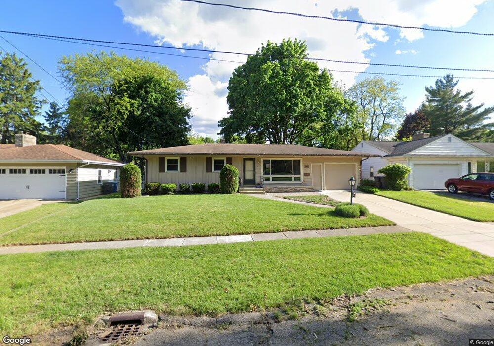
1011 Par 4 Rd Kalamazoo, MI 49008
South Westnedge NeighborhoodEstimated Value: $234,000 - $284,000
3
Beds
2
Baths
1,232
Sq Ft
$206/Sq Ft
Est. Value
About This Home
This home is located at 1011 Par 4 Rd, Kalamazoo, MI 49008 and is currently estimated at $253,365, approximately $205 per square foot. 1011 Par 4 Rd is a home located in Kalamazoo County with nearby schools including Woods Lake Elementary School, Milwood Magnet School, and Loy Norrix High School.
Ownership History
Date
Name
Owned For
Owner Type
Purchase Details
Closed on
May 29, 2020
Sold by
Eager Kris D and Eager Claire A
Bought by
P4 Ivy Llc
Current Estimated Value
Purchase Details
Closed on
Jul 3, 2018
Sold by
Woodhouse Luann Ellstrom
Bought by
Ellstrom Jon Richard
Purchase Details
Closed on
Jan 16, 2018
Sold by
Elstrom Richard
Bought by
Ellstrom Ellstrom Jon Richard Jon Richard and Ellstrom Woodhouse Luann
Create a Home Valuation Report for This Property
The Home Valuation Report is an in-depth analysis detailing your home's value as well as a comparison with similar homes in the area
Home Values in the Area
Average Home Value in this Area
Purchase History
| Date | Buyer | Sale Price | Title Company |
|---|---|---|---|
| P4 Ivy Llc | -- | None Available | |
| Eager Kris D | -- | None Available | |
| Ellstrom Jon Richard | $168,500 | Chicago Title Of Michigan In | |
| Ellstrom Ellstrom Jon Richard Jon Richard | -- | None Available |
Source: Public Records
Tax History
| Year | Tax Paid | Tax Assessment Tax Assessment Total Assessment is a certain percentage of the fair market value that is determined by local assessors to be the total taxable value of land and additions on the property. | Land | Improvement |
|---|---|---|---|---|
| 2025 | $2,520 | $120,900 | $0 | $0 |
| 2024 | $2,447 | $115,700 | $0 | $0 |
| 2023 | $2,332 | $102,700 | $0 | $0 |
| 2022 | $5,355 | $90,500 | $0 | $0 |
| 2021 | $5,179 | $81,500 | $0 | $0 |
| 2020 | $5,082 | $77,700 | $0 | $0 |
| 2019 | $4,894 | $72,500 | $0 | $0 |
| 2018 | $0 | $0 | $0 | $0 |
| 2017 | $0 | $0 | $0 | $0 |
| 2016 | -- | $0 | $0 | $0 |
| 2015 | -- | $0 | $0 | $0 |
| 2014 | -- | $0 | $0 | $0 |
Source: Public Records
Map
Nearby Homes
- 926 Lynn Ave
- 1122 Parker Ave
- 3419 Old Colony Rd
- 1115 Hol Hi Dr
- 616 Lynn Ave Unit 24
- 616 Lynn Ave Unit 23
- 616 Lynn Ave Unit 30
- 722 Buchanan Ave
- 729 Buchanan Ave
- 715 Buchanan Ave
- 4011 Standish St
- 1008 Cohasset Ln
- 723 Whitcomb St Unit B
- 709 Garland Cir Unit A
- 2731 Bronson Blvd
- 448 Whitcomb St
- 414 Fairfax Ave
- 906 Wilshire Blvd
- 3426 Ash St
- 3031 S Rose St
Your Personal Tour Guide
Ask me questions while you tour the home.