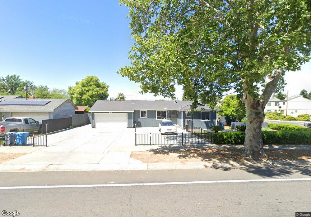
1011 Phillips Rd Yuba City, CA 95991
Estimated Value: $218,000 - $395,000
3
Beds
1
Bath
1,445
Sq Ft
$232/Sq Ft
Est. Value
About This Home
This home is located at 1011 Phillips Rd, Yuba City, CA 95991 and is currently estimated at $335,910, approximately $232 per square foot. 1011 Phillips Rd is a home located in Sutter County with nearby schools including Lincrest Elementary School, Yuba City High School, and St. Isidore Catholic School.
Ownership History
Date
Name
Owned For
Owner Type
Purchase Details
Closed on
Jun 23, 2009
Sold by
Kaur Baljeet
Bought by
Maman Sarbjit Singh
Current Estimated Value
Home Financials for this Owner
Home Financials are based on the most recent Mortgage that was taken out on this home.
Original Mortgage
$122,252
Outstanding Balance
$77,490
Interest Rate
4.83%
Mortgage Type
FHA
Estimated Equity
$258,420
Purchase Details
Closed on
Sep 3, 2008
Sold by
Dix Steven M and Dix Melissa M
Bought by
Butte Community Bank
Purchase Details
Closed on
Jul 29, 2005
Sold by
Valadez Frank R and Valadez Amelia A
Bought by
Dix Steven and Dix Melissa
Home Financials for this Owner
Home Financials are based on the most recent Mortgage that was taken out on this home.
Original Mortgage
$110,000
Interest Rate
5.46%
Mortgage Type
Fannie Mae Freddie Mac
Create a Home Valuation Report for This Property
The Home Valuation Report is an in-depth analysis detailing your home's value as well as a comparison with similar homes in the area
Home Values in the Area
Average Home Value in this Area
Purchase History
| Date | Buyer | Sale Price | Title Company |
|---|---|---|---|
| Maman Sarbjit Singh | -- | North State Title Company | |
| Maman Sarbjit Singh | $133,500 | North State Title Company | |
| Butte Community Bank | $196,020 | Mid Valley Title & Escrow Co | |
| Dix Steven | $137,500 | First American Title Co |
Source: Public Records
Mortgage History
| Date | Status | Borrower | Loan Amount |
|---|---|---|---|
| Open | Maman Sarbjit Singh | $122,252 | |
| Previous Owner | Dix Steven | $110,000 |
Source: Public Records
Tax History Compared to Growth
Tax History
| Year | Tax Paid | Tax Assessment Tax Assessment Total Assessment is a certain percentage of the fair market value that is determined by local assessors to be the total taxable value of land and additions on the property. | Land | Improvement |
|---|---|---|---|---|
| 2025 | $1,911 | $171,898 | $38,623 | $133,275 |
| 2024 | $1,911 | $168,528 | $37,866 | $130,662 |
| 2023 | $1,911 | $165,224 | $37,124 | $128,100 |
| 2022 | $1,829 | $161,986 | $36,397 | $125,589 |
| 2021 | $1,808 | $158,825 | $35,691 | $123,134 |
| 2020 | $1,776 | $157,196 | $35,325 | $121,871 |
| 2019 | $1,737 | $154,113 | $34,632 | $119,481 |
| 2018 | $1,711 | $151,091 | $33,953 | $117,138 |
| 2017 | $1,669 | $148,129 | $33,287 | $114,842 |
| 2016 | $1,635 | $145,224 | $32,635 | $112,589 |
| 2015 | $1,608 | $143,042 | $32,144 | $110,898 |
| 2014 | $1,588 | $140,241 | $31,515 | $108,726 |
Source: Public Records
Map
Nearby Homes
- 1255 Lincoln Rd Unit 29
- 865 S Barrett Rd
- 1224 Highland Ave
- 988 Carolina Ave
- 1358 Starlite Ln
- 1200 Starlite Ln
- 1380 Starlite Ln
- 582 Camino Cortez
- 1181 Robert Dr
- 1421 Richland Rd
- 1031 Celestial Way
- 0 Victoria Ct
- 564 Queensbury Way
- 872 Mesa Verde
- 925 Starlite Ln
- 1325 Delone Dr
- 1196 Hunn Rd
- 511 Trinity Ave
- 1075 Briar Ln
- 750 Lincoln Rd Unit 82
- 1031 Phillips Rd
- 1012 Meadow Ave
- 1024 Meadow Ave
- 1183 John Wayne Dr
- 1045 Phillips Rd
- 958 S Barrett Rd
- 1036 Meadow Ave
- 1175 John Wayne Dr
- 1197 Lincoln Rd
- 1180 John Wayne Dr
- 1059 Phillips Rd
- 1048 Meadow Ave
- 1167 John Wayne Dr
- 946 S Barrett Rd
- 1172 John Wayne Dr
- 1019 Meadow Ave
- 1029 Meadow Ave
- 1060 Meadow Ave
- 1159 John Wayne Dr
- 934 S Barrett Rd