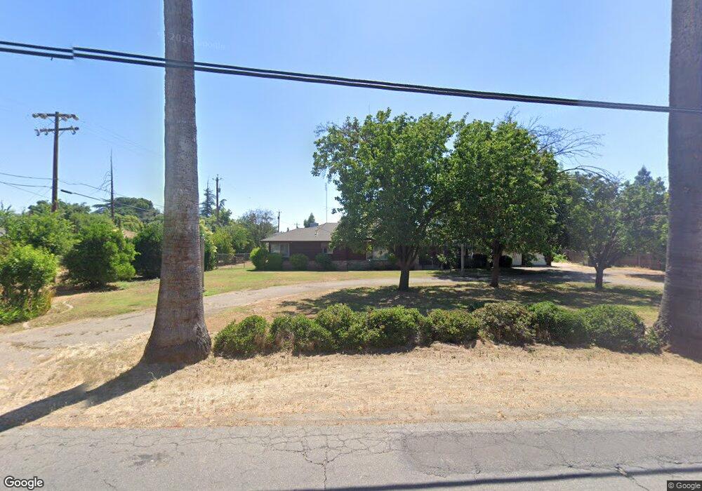
1011 S Minnewawa Ave Fresno, CA 93727
Sunnyside NeighborhoodEstimated Value: $619,000 - $696,000
3
Beds
3
Baths
2,009
Sq Ft
$326/Sq Ft
Est. Value
About This Home
This home is located at 1011 S Minnewawa Ave, Fresno, CA 93727 and is currently estimated at $655,321, approximately $326 per square foot. 1011 S Minnewawa Ave is a home located in Fresno County with nearby schools including Ayer Elementary School, Elizabeth Terronez Middle School, and Sunnyside High School.
Ownership History
Date
Name
Owned For
Owner Type
Purchase Details
Closed on
May 10, 2004
Sold by
Wein Marian J
Bought by
Bumanglag Lucy
Current Estimated Value
Home Financials for this Owner
Home Financials are based on the most recent Mortgage that was taken out on this home.
Original Mortgage
$242,500
Outstanding Balance
$111,695
Interest Rate
5.25%
Mortgage Type
New Conventional
Estimated Equity
$543,626
Purchase Details
Closed on
Jan 23, 1998
Sold by
Wein Marian J
Bought by
Wein Walter H and Wein Marian J
Create a Home Valuation Report for This Property
The Home Valuation Report is an in-depth analysis detailing your home's value as well as a comparison with similar homes in the area
Home Values in the Area
Average Home Value in this Area
Purchase History
| Date | Buyer | Sale Price | Title Company |
|---|---|---|---|
| Bumanglag Lucy | $325,000 | First American Title Ins Co | |
| Wein Walter H | -- | -- |
Source: Public Records
Mortgage History
| Date | Status | Borrower | Loan Amount |
|---|---|---|---|
| Open | Bumanglag Lucy | $242,500 | |
| Closed | Bumanglag Lucy | $50,000 |
Source: Public Records
Tax History Compared to Growth
Tax History
| Year | Tax Paid | Tax Assessment Tax Assessment Total Assessment is a certain percentage of the fair market value that is determined by local assessors to be the total taxable value of land and additions on the property. | Land | Improvement |
|---|---|---|---|---|
| 2025 | $6,208 | $604,565 | $142,172 | $462,393 |
| 2023 | $5,208 | $425,000 | $130,200 | $294,800 |
| 2022 | $5,037 | $408,700 | $125,200 | $283,500 |
| 2021 | $4,157 | $340,700 | $104,400 | $236,300 |
| 2020 | $3,731 | $304,300 | $93,300 | $211,000 |
| 2019 | $3,465 | $288,500 | $88,500 | $200,000 |
| 2018 | $3,389 | $282,900 | $86,800 | $196,100 |
| 2017 | $3,174 | $264,500 | $81,200 | $183,300 |
| 2016 | $3,025 | $255,842 | $78,580 | $177,262 |
| 2015 | $2,978 | $252,000 | $77,400 | $174,600 |
| 2014 | $2,786 | $236,000 | $72,500 | $163,500 |
Source: Public Records
Map
Nearby Homes
- 1234 Address Unavailable
- 5490 E 9 Ave
- 742 S Park Circle Dr
- 930 S Park Circle Dr
- 5478 E Butler Ave
- 935 S Park Circle Dr
- 1010 S Clovis Ave Unit 107
- 851 N Filbert Ave
- 945 S Clovis Ave Unit H
- 945 S Clovis Ave Unit G
- 945 S Clovis Ave Unit V
- 5238 E Townsend Ave
- 5221 E Townsend Ave
- 5145 E Lane Ave Unit 252
- 5160 E Balch Ave
- 1816 S Caesar Ave
- 5407 E Tulare St
- 5521 E Illinois Ave
- 2148 S Villa Ave
- 6080 E Platt Ave
- 5409 E Lane Ave
- 5419 E Lane Ave
- 1010 S Minnewawa
- 5414 E Montecito Ave
- 5431 E Lane Ave
- 931 S Minnewawa Ave
- 5432 E Montecito Ave
- 5408 E Lane Ave
- 5445 E Lane Ave
- 5432 E Lane Ave
- 1108 S Minnewawa Ave
- 5442 E Montecito Ave
- 5389 E Lowe Ave
- 1143 S Minnewawa Ave
- 5455 E Lane Ave
- 5381 E Lowe Ave
- 5425 E Montecito Ave
- 5444 E Lane Ave
- 5454 E Montecito Ave
- 1162 S Minnewawa Ave