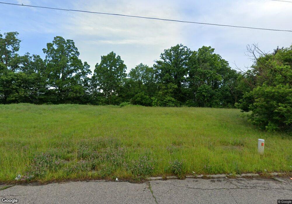
1011 Stevenson St Flint, MI 48504
Downtown Flint NeighborhoodEstimated Value: $24,000 - $44,000
2
Beds
2
Baths
1,314
Sq Ft
$26/Sq Ft
Est. Value
About This Home
This home is located at 1011 Stevenson St, Flint, MI 48504 and is currently estimated at $34,000, approximately $25 per square foot. 1011 Stevenson St is a home located in Genesee County with nearby schools including Durant-Tuuri-Mott Elementary School, WAY Academy of Flint, and St John Vianney Catholic School.
Ownership History
Date
Name
Owned For
Owner Type
Purchase Details
Closed on
Dec 21, 2011
Sold by
Genesee County Treasurer
Bought by
Genesee County Land Bank
Current Estimated Value
Purchase Details
Closed on
Oct 31, 2011
Sold by
Mich Alta Management Llc
Bought by
Reddy Neville
Purchase Details
Closed on
Oct 13, 2010
Sold by
Summit Solutions Corp
Bought by
Saroya Parry
Purchase Details
Closed on
Jan 20, 2010
Sold by
Go Invest Wisely Llc
Bought by
Summit Solutions Corp
Purchase Details
Closed on
Sep 10, 2008
Sold by
Spees Orley K and Spees Kristina M
Bought by
Capital Equity Partners
Create a Home Valuation Report for This Property
The Home Valuation Report is an in-depth analysis detailing your home's value as well as a comparison with similar homes in the area
Home Values in the Area
Average Home Value in this Area
Purchase History
| Date | Buyer | Sale Price | Title Company |
|---|---|---|---|
| Genesee County Land Bank | -- | None Available | |
| Reddy Neville | -- | Heights Title Agency Inc | |
| Saroya Parry | $2,700 | None Available | |
| Summit Solutions Corp | $1,850 | None Available | |
| Capital Equity Partners | $4,000 | Cislo Title Co |
Source: Public Records
Tax History Compared to Growth
Tax History
| Year | Tax Paid | Tax Assessment Tax Assessment Total Assessment is a certain percentage of the fair market value that is determined by local assessors to be the total taxable value of land and additions on the property. | Land | Improvement |
|---|---|---|---|---|
| 2025 | -- | $0 | $0 | $0 |
| 2024 | -- | $0 | $0 | $0 |
| 2023 | -- | $0 | $0 | $0 |
| 2022 | $0 | $0 | $0 | $0 |
| 2021 | $0 | $0 | $0 | $0 |
| 2020 | $0 | $0 | $0 | $0 |
| 2019 | $0 | $0 | $0 | $0 |
| 2018 | $0 | $0 | $0 | $0 |
| 2017 | $0 | $0 | $0 | $0 |
| 2016 | $0 | $0 | $0 | $0 |
| 2015 | -- | $0 | $0 | $0 |
| 2014 | -- | $0 | $0 | $0 |
| 2012 | -- | $0 | $0 | $0 |
Source: Public Records
Map
Nearby Homes
- 227 W 5th Ave Unit 3
- 1409 Prospect St
- 1016 Dupont St
- 1017 Perry St
- 1717 Wolcott St
- 1813 Stevenson St
- 709 Cadillac St
- 913 Perry St
- 820 N Chevrolet Ave
- 1802 Mackin Rd
- 2001 Mackin Rd
- 217 W 7th Ave
- 407 W 2nd Ave
- 416 W 2nd Ave Unit 4
- 2410 Sloan St
- 1016 Garland St
- 2329 Joliet St
- 2008 University Ave
- 448 Dougherty Place
- 849 Frank St
- 1015 Stevenson St
- 1003 Stevenson St
- 1023 Stevenson St
- 1120 Flushing Rd
- 1027 Stevenson St
- 1124 Flushing Rd
- 1116 Flushing Rd
- 1128 Flushing Rd
- 1031 Stevenson St
- 1018 Stevenson St
- 926 Stevenson St
- 1024 Frost St
- 1022 Stevenson St
- 1035 Stevenson St
- 1026 Frost St
- 1113 W 8th Ave
- 1206 Flushing Rd
- 918 Stevenson St
- 1039 Stevenson St
- 1030 Stevenson St