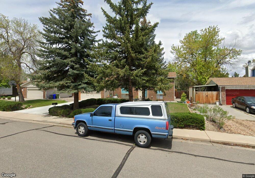
1011 W 36th St Loveland, CO 80538
Estimated Value: $502,149 - $539,000
2
Beds
2
Baths
2,263
Sq Ft
$228/Sq Ft
Est. Value
About This Home
This home is located at 1011 W 36th St, Loveland, CO 80538 and is currently estimated at $517,037, approximately $228 per square foot. 1011 W 36th St is a home located in Larimer County with nearby schools including Lincoln Elementary School, Lucile Erwin Middle School, and Loveland High School.
Ownership History
Date
Name
Owned For
Owner Type
Purchase Details
Closed on
Jun 15, 2006
Sold by
Vettetoe Geraldine R
Bought by
Vittetoe Debra S
Current Estimated Value
Purchase Details
Closed on
Aug 1, 1993
Sold by
Morgan Gary D
Bought by
Vittetoe Debra S
Purchase Details
Closed on
Oct 31, 1983
Sold by
Dagenais Dwight D and Dagenais Joy C
Bought by
Morgan Gary D and Morgan Carolyn A
Purchase Details
Closed on
Oct 29, 1981
Sold by
Mccoppin Charles R and Mccoppin Gloria B
Bought by
Dagenais Dwight D and Dagenais Joy C
Purchase Details
Closed on
Oct 25, 1977
Sold by
Marriott Joe E and Marriott Carla W
Bought by
Mccoppin Charles R and Mccoppin Gloria B
Purchase Details
Closed on
Feb 22, 1973
Sold by
Tri City Development Co
Bought by
Marriott Joe E and Marriott Carla W
Create a Home Valuation Report for This Property
The Home Valuation Report is an in-depth analysis detailing your home's value as well as a comparison with similar homes in the area
Home Values in the Area
Average Home Value in this Area
Purchase History
| Date | Buyer | Sale Price | Title Company |
|---|---|---|---|
| Vittetoe Debra S | -- | None Available | |
| Vittetoe Debra S | $109,000 | -- | |
| Morgan Gary D | $92,000 | -- | |
| Dagenais Dwight D | $68,000 | -- | |
| Mccoppin Charles R | $47,900 | -- | |
| Marriott Joe E | $27,100 | -- |
Source: Public Records
Tax History Compared to Growth
Tax History
| Year | Tax Paid | Tax Assessment Tax Assessment Total Assessment is a certain percentage of the fair market value that is determined by local assessors to be the total taxable value of land and additions on the property. | Land | Improvement |
|---|---|---|---|---|
| 2025 | $1,991 | $35,336 | $3,015 | $32,321 |
| 2024 | $1,920 | $35,336 | $3,015 | $32,321 |
| 2022 | $1,452 | $25,201 | $3,128 | $22,073 |
| 2021 | $1,492 | $25,926 | $3,218 | $22,708 |
| 2020 | $1,493 | $25,926 | $3,218 | $22,708 |
| 2019 | $1,468 | $25,926 | $3,218 | $22,708 |
| 2018 | $1,179 | $21,528 | $3,240 | $18,288 |
| 2017 | $1,015 | $21,528 | $3,240 | $18,288 |
| 2016 | $1,356 | $18,491 | $3,582 | $14,909 |
| 2015 | $1,345 | $18,490 | $3,580 | $14,910 |
| 2014 | $1,072 | $14,260 | $3,580 | $10,680 |
Source: Public Records
Map
Nearby Homes
- 1221 Bay Ct
- 3621 Adena Ct
- 717 W 36th St
- 1463 Caddoa Dr
- 4056 Boxelder Dr
- 3523 N Franklin Ave
- 4150 Ebony Ct
- 3312 N Colorado Ave
- 1532 Oak Creek Dr
- 3210 N Colorado Ave
- 3750 Sheridan Ave
- 4019 Burr Oak Dr
- 1555 Oak Creek Dr
- 4403 Shubert Dr
- 2922 Alamosa Ct
- 3110 N Franklin Ave
- 3638 Butternut Dr Unit 7A
- 3321 Butternut Dr
- 4406 Chateau Dr
- 1266 W 45th St
- 1007 W 36th St
- 1015 W 36th St
- 1103 W 36th St
- 1003 W 36th St
- 3511 Chestnut Ave
- 3510 Banyan Ave
- 3702 Banyan Ct
- 3703 Banyan Ct
- 1107 W 36th St
- 3703 Chestnut Ct
- 925 W 36th St
- 3507 Chestnut Ave
- 3506 Banyan Ave
- 3714 Banyan Ct
- 3509 Banyan Ave
- 3715 Banyan Ct
- 3512 Chestnut Ave
- 3715 Chestnut Ct
- 1111 W 36th St
- 921 W 36th St