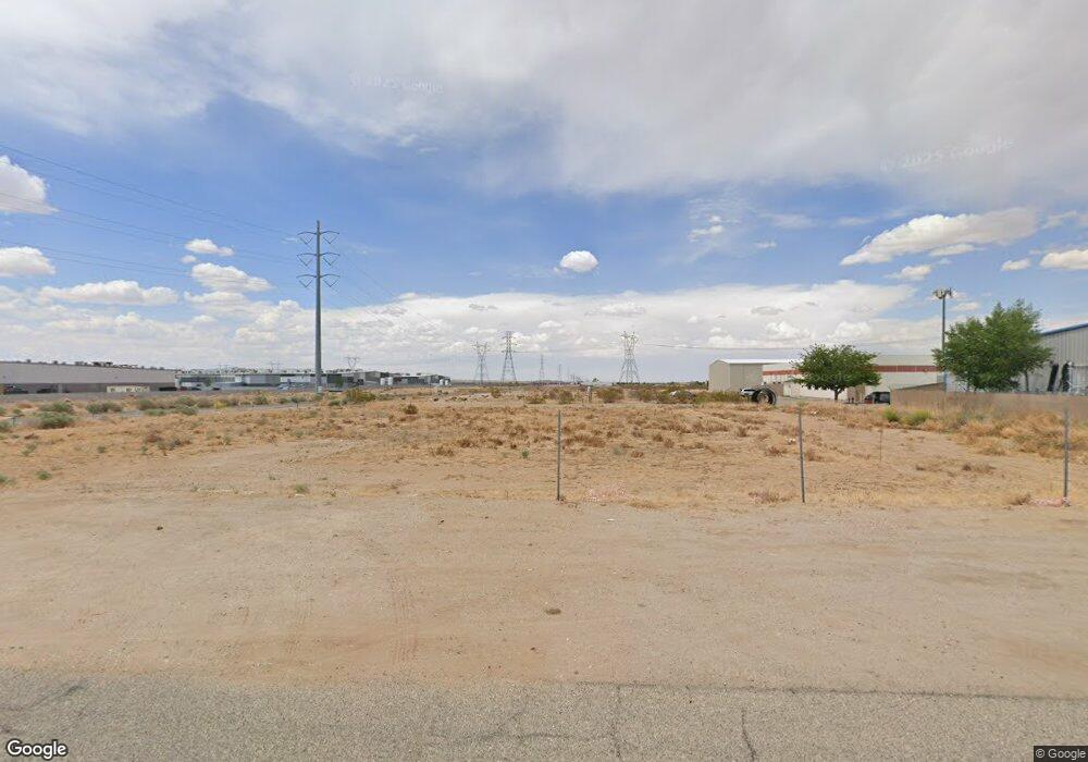
10110 Apache Rd Adelanto, CA 92301
Estimated Value: $311,710 - $337,000
--
Bed
--
Bath
--
Sq Ft
0.64
Acres
About This Home
This home is located at 10110 Apache Rd, Adelanto, CA 92301 and is currently estimated at $324,355. 10110 Apache Rd is a home located in San Bernardino County with nearby schools including Adelanto Elementary School, Adelanto High School, and Taylion High Desert Academy.
Ownership History
Date
Name
Owned For
Owner Type
Purchase Details
Closed on
Jun 28, 2017
Sold by
Desert Wind Llc
Bought by
Ric House Inc
Current Estimated Value
Purchase Details
Closed on
Jan 15, 2004
Sold by
Cal Snap & Tab Corp Profit Sharing Plan
Bought by
Desert Wind Llc
Home Financials for this Owner
Home Financials are based on the most recent Mortgage that was taken out on this home.
Original Mortgage
$12,000
Interest Rate
5.65%
Mortgage Type
Unknown
Create a Home Valuation Report for This Property
The Home Valuation Report is an in-depth analysis detailing your home's value as well as a comparison with similar homes in the area
Home Values in the Area
Average Home Value in this Area
Purchase History
| Date | Buyer | Sale Price | Title Company |
|---|---|---|---|
| Ric House Inc | $150,000 | Fntg Builder Services | |
| Desert Wind Llc | -- | First American |
Source: Public Records
Mortgage History
| Date | Status | Borrower | Loan Amount |
|---|---|---|---|
| Previous Owner | Desert Wind Llc | $12,000 |
Source: Public Records
Tax History Compared to Growth
Tax History
| Year | Tax Paid | Tax Assessment Tax Assessment Total Assessment is a certain percentage of the fair market value that is determined by local assessors to be the total taxable value of land and additions on the property. | Land | Improvement |
|---|---|---|---|---|
| 2025 | $2,176 | $174,089 | $174,089 | -- |
| 2024 | $2,176 | $170,675 | $170,675 | -- |
| 2023 | $2,154 | $167,328 | $167,328 | $0 |
| 2022 | $2,116 | $164,047 | $164,047 | $0 |
| 2021 | $2,224 | $160,830 | $160,830 | $0 |
| 2020 | $2,185 | $159,181 | $159,181 | $0 |
| 2019 | $2,169 | $156,060 | $156,060 | $0 |
| 2018 | $2,188 | $153,000 | $153,000 | $0 |
| 2017 | $330 | $18,377 | $18,377 | $0 |
| 2016 | $325 | $18,017 | $18,017 | $0 |
| 2015 | $316 | $17,746 | $17,746 | $0 |
| 2014 | $314 | $17,398 | $17,398 | $0 |
Source: Public Records
Map
Nearby Homes
- 2 Air Base Rd
- 0 Daisy Rd Unit P1-21282
- 0 Daisy Rd Unit HD24248848
- 17737 Windy Way
- 10221 Lawson Ave
- 18 Lawson Ave
- 0 Lawson Ave Unit HD25232113
- 0 Lawson Ave Unit HD24234531
- 1 Yucca Rd
- 10254 Kemper Ave
- 10110 Kemper Ave
- 7 Aztec Ln
- 8 Aztec Ln
- 3 Aztec Ln
- 10452 Kemper Ave
- 12345 Aster Rd
- 7119 Aster Rd
- 0 Cassia Rd Unit HD25167099
- 0 Cassia Rd Unit IG25156698
- 0 Cassia Rd Unit HD25097904
- 17227 Columbus St
- 0 Violet & Adelanto Rd
- 10400 Rancho Rd
- 17201 Aster Rd
- 10150 Apache Rd
- 17235 Racoon Ave
- 17235 Racoon Ave
- 17235 Racoon Ave
- 17021 Aster Rd
- 17035 Aster Rd
- 10140 Violet Rd
- 17125 Raccoon Ave
- 10176 Apache Rd
- 17125 Racoon Ave Unit D
- 17125 Racoon Ave Unit A
- 17125 Racoon Ave
- 10 Mountain View Rd
- 55 Mountain View Rd
- 17098 Racoon Ave
- 17178 Racoon Ave
