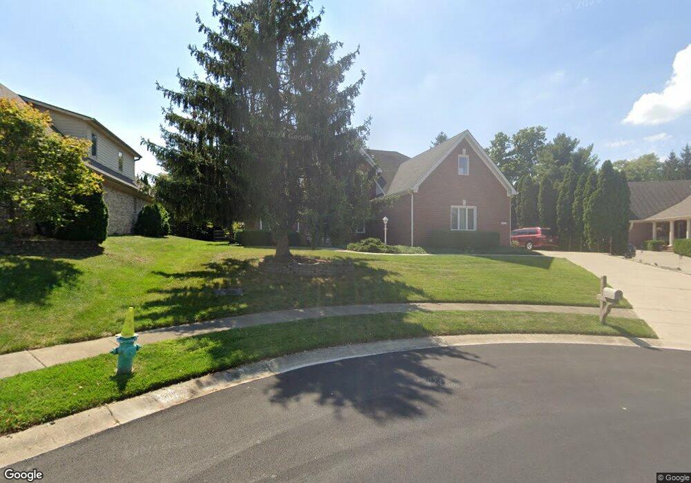
10111 Quaker Ridge Ct Fishers, IN 46037
Estimated Value: $502,678 - $631,000
4
Beds
3
Baths
3,187
Sq Ft
$182/Sq Ft
Est. Value
About This Home
This home is located at 10111 Quaker Ridge Ct, Fishers, IN 46037 and is currently estimated at $580,670, approximately $182 per square foot. 10111 Quaker Ridge Ct is a home located in Hamilton County with nearby schools including Sigourney Elementary School, Lantern Road Elementary School, and Riverside Junior High School.
Ownership History
Date
Name
Owned For
Owner Type
Purchase Details
Closed on
Mar 4, 2011
Sold by
Rottet Kenneth L
Bought by
Nguyen Michael T and Le Katie
Current Estimated Value
Home Financials for this Owner
Home Financials are based on the most recent Mortgage that was taken out on this home.
Original Mortgage
$219,200
Outstanding Balance
$151,037
Interest Rate
4.85%
Mortgage Type
New Conventional
Estimated Equity
$429,633
Create a Home Valuation Report for This Property
The Home Valuation Report is an in-depth analysis detailing your home's value as well as a comparison with similar homes in the area
Home Values in the Area
Average Home Value in this Area
Purchase History
| Date | Buyer | Sale Price | Title Company |
|---|---|---|---|
| Nguyen Michael T | -- | None Available |
Source: Public Records
Mortgage History
| Date | Status | Borrower | Loan Amount |
|---|---|---|---|
| Open | Nguyen Michael T | $219,200 |
Source: Public Records
Tax History Compared to Growth
Tax History
| Year | Tax Paid | Tax Assessment Tax Assessment Total Assessment is a certain percentage of the fair market value that is determined by local assessors to be the total taxable value of land and additions on the property. | Land | Improvement |
|---|---|---|---|---|
| 2024 | $4,317 | $393,400 | $49,200 | $344,200 |
| 2023 | $4,317 | $380,000 | $49,200 | $330,800 |
| 2022 | $4,241 | $353,400 | $49,200 | $304,200 |
| 2021 | $4,072 | $339,300 | $49,200 | $290,100 |
| 2020 | $3,525 | $291,000 | $49,200 | $241,800 |
| 2019 | $3,588 | $296,100 | $46,700 | $249,400 |
| 2018 | $3,440 | $283,400 | $46,700 | $236,700 |
| 2017 | $3,377 | $281,200 | $46,700 | $234,500 |
| 2016 | $3,113 | $261,200 | $46,700 | $214,500 |
| 2014 | $3,006 | $277,600 | $46,700 | $230,900 |
| 2013 | $3,006 | $280,400 | $46,700 | $233,700 |
Source: Public Records
Map
Nearby Homes
- 10661 Burning Ridge Ln
- 10515 Collingswood Rd
- 9972 Woods Edge Dr
- 10272 Whitetail Cir
- 10334 Hillsborough Dr
- 10747 Red Pine Dr
- 10019 Niagara Dr
- 10244 Red Tail Dr
- 9259 Oak Knoll Ln
- 10026 Parkway Dr
- 10384 Glenn Abbey Ln
- 10518 Greenway Dr
- 10602 Fall Rd
- 9237 Crossing Dr
- 10737 Springston Ct
- 10263 Brixton Ln
- 10563 Brixton Ln
- 11262 Whitewater Way
- 10844 Fairwoods Dr
- 10290 Glenn Abbey Ln
- 10113 Quaker Ridge Ct
- 10105 Quaker Ridge Ct
- 10123 Quaker Ridge Ct
- 10640 Burning Ridge
- 10640 Burning Ridge Ln
- 10102 Quaker Ridge Ct
- 10101 Quaker Ridge Ct
- 10136 Tremont Dr
- 10154 Tremont Dr
- 10133 Quaker Ridge Ct
- 10650 Burning Ridge Ln
- 10118 Tremont Dr
- 10650 Burning Ridge
- 10172 Tremont Dr
- 10641 Burning Ridge
- 10578 Tremont Dr
- 10100 Tremont Dr
- 10660 Burning Ridge
- 10660 Burning Ridge Ln
- 10661 Burning Ridge