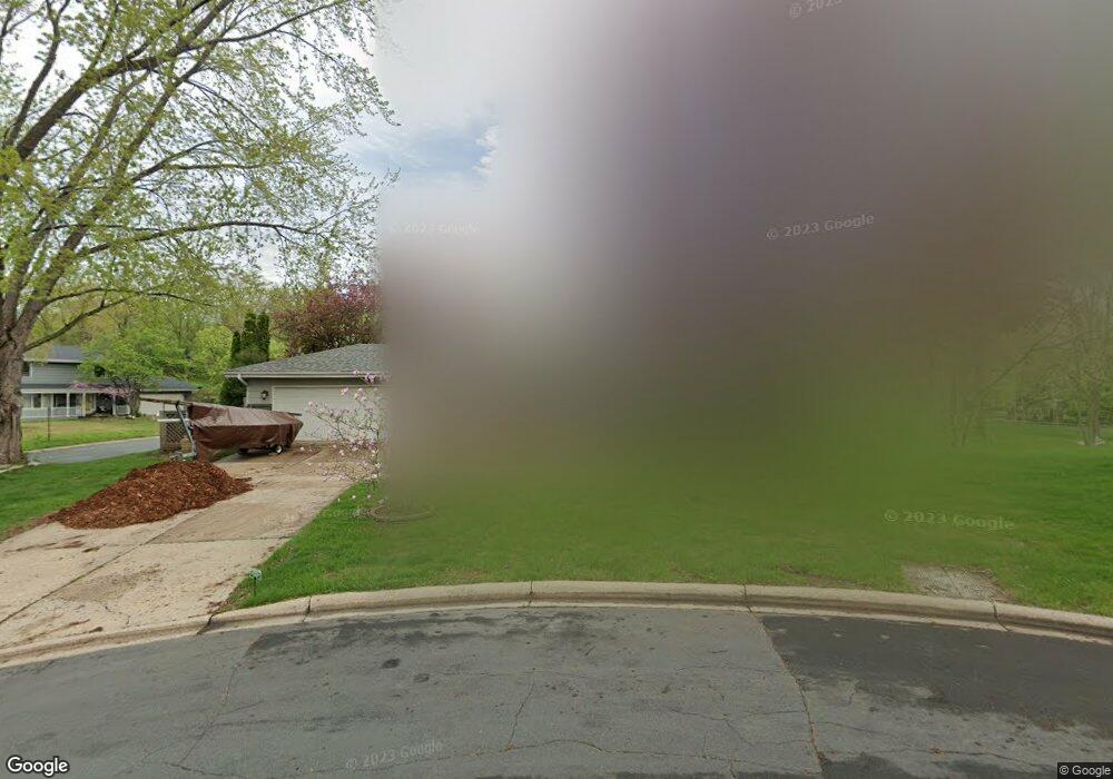
10117 Johnson Cir Bloomington, MN 55437
West Bloomington NeighborhoodEstimated Value: $405,000 - $446,926
3
Beds
3
Baths
1,092
Sq Ft
$394/Sq Ft
Est. Value
About This Home
This home is located at 10117 Johnson Cir, Bloomington, MN 55437 and is currently estimated at $430,232, approximately $393 per square foot. 10117 Johnson Cir is a home located in Hennepin County with nearby schools including Olson Elementary School, Olson Middle School, and Jefferson Senior High School.
Ownership History
Date
Name
Owned For
Owner Type
Purchase Details
Closed on
Jul 13, 2007
Sold by
Wolsky Gregory L and Tollefson Liv
Bought by
Johnson Kari L
Current Estimated Value
Home Financials for this Owner
Home Financials are based on the most recent Mortgage that was taken out on this home.
Original Mortgage
$211,500
Interest Rate
6.79%
Mortgage Type
New Conventional
Purchase Details
Closed on
Apr 18, 1997
Sold by
Beardsley Lucian B
Bought by
Wolsky Gregory L and Tollefson Liv
Create a Home Valuation Report for This Property
The Home Valuation Report is an in-depth analysis detailing your home's value as well as a comparison with similar homes in the area
Home Values in the Area
Average Home Value in this Area
Purchase History
| Date | Buyer | Sale Price | Title Company |
|---|---|---|---|
| Johnson Kari L | $291,500 | -- | |
| Wolsky Gregory L | $137,900 | -- |
Source: Public Records
Mortgage History
| Date | Status | Borrower | Loan Amount |
|---|---|---|---|
| Previous Owner | Johnson Kari L | $211,500 |
Source: Public Records
Tax History Compared to Growth
Tax History
| Year | Tax Paid | Tax Assessment Tax Assessment Total Assessment is a certain percentage of the fair market value that is determined by local assessors to be the total taxable value of land and additions on the property. | Land | Improvement |
|---|---|---|---|---|
| 2024 | $5,508 | $430,200 | $163,000 | $267,200 |
| 2023 | $5,257 | $435,900 | $164,700 | $271,200 |
| 2022 | $4,728 | $430,800 | $164,700 | $266,100 |
| 2021 | $4,292 | $371,200 | $153,800 | $217,400 |
| 2020 | $4,333 | $342,700 | $149,400 | $193,300 |
| 2019 | $3,831 | $336,700 | $149,400 | $187,300 |
| 2018 | $3,653 | $295,800 | $145,900 | $149,900 |
| 2017 | $3,470 | $266,000 | $131,600 | $134,400 |
| 2016 | $3,492 | $254,900 | $123,100 | $131,800 |
| 2015 | $3,387 | $239,500 | $119,400 | $120,100 |
| 2014 | -- | $228,000 | $115,800 | $112,200 |
Source: Public Records
Map
Nearby Homes
- 4708 W 102nd St
- 3600 W 102nd St
- 4301 Heritage Hills Dr
- 3801 W 98th St Unit 402
- 3917 Heritage Hills Dr Unit 303
- 10261 Scarborough Rd
- 10243 Scarborough Rd
- 10295 Scarborough Rd
- 9728 Palmer Cir
- 5140 W 102nd St Unit 210
- 5140 W 102nd St Unit 110
- 4653 Heritage Hills Cir
- 10616 Johnson Rd
- 10212 Xerxes Ave S
- 3510 W Old Shakopee Rd
- 10234 Berkshire Rd
- 10260 Berkshire Rd
- 10241 Washburn Cir S
- 10307 Berkshire Rd
- 5325 Highpointe Terrace Unit 4325
- 10109 Johnson Ave S
- 10125 Johnson Cir
- 10101 Johnson Ave S
- 10141 Johnson Cir
- 10124 Johnson Ave S
- 10116 Johnson Ave S
- 10133 Johnson Cir
- 10132 Johnson Ave S
- 10124 Irwin Rd
- 10116 Irwin Rd
- 10057 Johnson Ave S
- 10108 Johnson Ave S
- 10140 Johnson Ave S
- 10132 Irwin Rd
- 10149 Johnson Ave S
- 10108 Irwin Rd
- 10100 Johnson Ave S
- 10019 Little Rd
- 10049 Johnson Ave S
- 10013 Little Rd