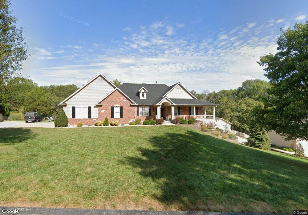
10119 Manassas Dr Festus, MO 63028
Estimated Value: $393,772 - $623,000
--
Bed
1
Bath
2,186
Sq Ft
$237/Sq Ft
Est. Value
About This Home
This home is located at 10119 Manassas Dr, Festus, MO 63028 and is currently estimated at $518,193, approximately $237 per square foot. 10119 Manassas Dr is a home located in Jefferson County with nearby schools including Hillsboro Primary School, Hillsboro Elementary School, and Hillsboro Middle Elementary School.
Ownership History
Date
Name
Owned For
Owner Type
Purchase Details
Closed on
Apr 30, 2002
Sold by
Johnston Arch M and Johnston Evelyn I
Bought by
Deranja Todd and Deranja Gail
Current Estimated Value
Home Financials for this Owner
Home Financials are based on the most recent Mortgage that was taken out on this home.
Original Mortgage
$26,000
Outstanding Balance
$11,009
Interest Rate
7.11%
Estimated Equity
$507,184
Create a Home Valuation Report for This Property
The Home Valuation Report is an in-depth analysis detailing your home's value as well as a comparison with similar homes in the area
Home Values in the Area
Average Home Value in this Area
Purchase History
| Date | Buyer | Sale Price | Title Company |
|---|---|---|---|
| Deranja Todd | -- | -- |
Source: Public Records
Mortgage History
| Date | Status | Borrower | Loan Amount |
|---|---|---|---|
| Open | Deranja Todd | $26,000 |
Source: Public Records
Tax History Compared to Growth
Tax History
| Year | Tax Paid | Tax Assessment Tax Assessment Total Assessment is a certain percentage of the fair market value that is determined by local assessors to be the total taxable value of land and additions on the property. | Land | Improvement |
|---|---|---|---|---|
| 2025 | $3,059 | $56,200 | $5,700 | $50,500 |
| 2024 | $3,059 | $49,200 | $3,300 | $45,900 |
| 2023 | $3,059 | $49,200 | $3,300 | $45,900 |
| 2022 | $3,111 | $49,200 | $3,300 | $45,900 |
| 2021 | $3,325 | $49,200 | $3,300 | $45,900 |
| 2020 | $3,087 | $44,300 | $3,000 | $41,300 |
| 2019 | $3,087 | $44,300 | $3,000 | $41,300 |
| 2018 | $3,024 | $43,400 | $3,000 | $40,400 |
| 2017 | $2,872 | $43,400 | $3,000 | $40,400 |
| 2016 | $2,708 | $40,200 | $3,000 | $37,200 |
| 2015 | $2,453 | $40,200 | $3,000 | $37,200 |
| 2013 | $2,453 | $39,200 | $2,800 | $36,400 |
Source: Public Records
Map
Nearby Homes
- 1 Appomattox Ridge
- 9822 Woodland Rd
- 132 Blue Ridge Trace
- 0 Hwy A 62 Acres Unit 20012897
- 2812 Heather Wood Lane (Lot 39 - Vacant Lot)
- 3333 Ketha Cir
- 3532 Ketha Heights
- 10537 Victoria Falls Dr
- 2724 Niagara Falls Ct
- 9448 Ponderosa Ln
- 2303 Garden Ln
- 1926 Belmont Dr
- 9365 Elm Loop Dr
- 1102 Stone Henge Ct
- 0 Bailey School Rd
- 1808 Hawk Pointe Dr
- 251 Living Water Ct
- 1549 Louisiana Dr
- 1529 Louisiana Dr
- 1525 Louisiana Dr
- 10113 Manassas Dr
- 10125 Manassas Dr
- 10131 Manassas Dr
- 10132 Manassas Dr
- 10114 Manassas Dr
- 10107 Manassas Dr
- 10137 Manassas Dr
- 2815 Johnston Ridge
- 2843 Johnston Ridge
- 2801 Johnston Ridge
- 2836 Johnston Ridge
- 8 Appomattox Ridge
- 2830 Johnston Ridge
- 2818 Johnston Ridge
- 2824 Johnston Ridge
- 10 Appomattox Ridge
- 2842 Johnston Ridge
- 2 Appomattox Ridge
- 14 Appomattox Ridge
- 2812 Johnston Ridge