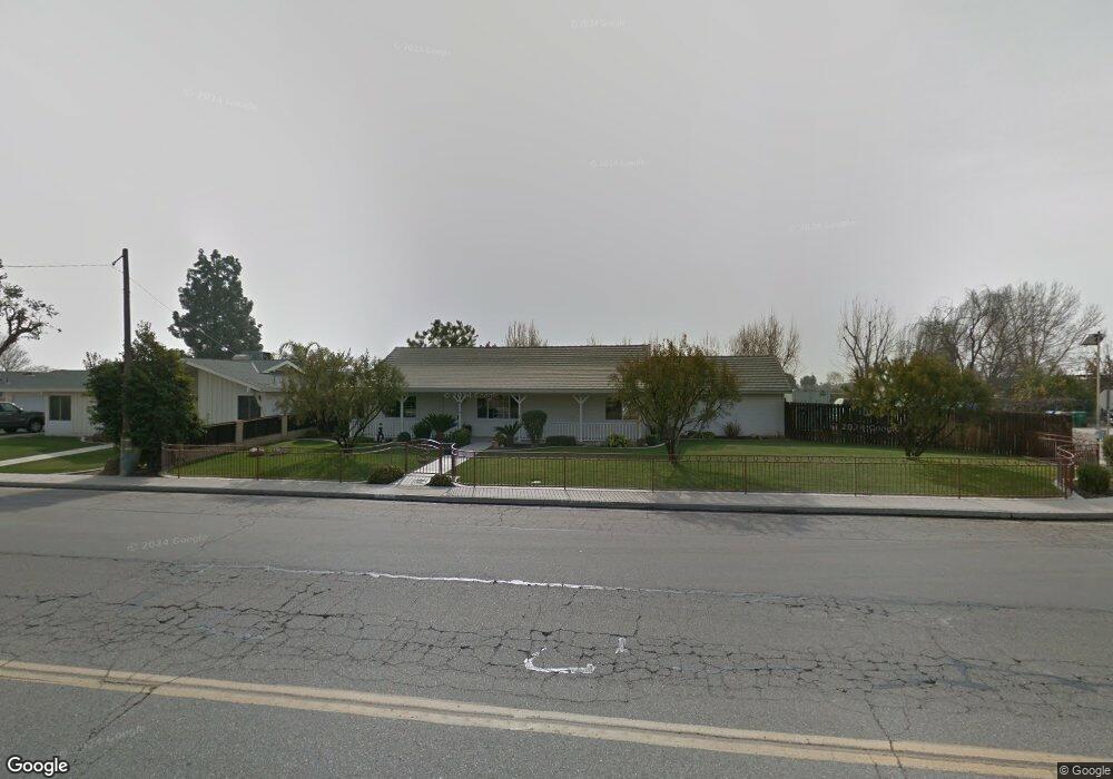
10119 Palm Ave Bakersfield, CA 93312
Greenacres NeighborhoodEstimated Value: $447,190 - $494,000
3
Beds
2
Baths
1,495
Sq Ft
$317/Sq Ft
Est. Value
About This Home
This home is located at 10119 Palm Ave, Bakersfield, CA 93312 and is currently estimated at $474,298, approximately $317 per square foot. 10119 Palm Ave is a home located in Kern County with nearby schools including American Elementary School, Rosedale Middle School, and Liberty High School.
Ownership History
Date
Name
Owned For
Owner Type
Purchase Details
Closed on
Feb 27, 2007
Sold by
Thomas Billy E and Thomas Linda S
Bought by
Renick Jerry W and Renick Cynthia
Current Estimated Value
Home Financials for this Owner
Home Financials are based on the most recent Mortgage that was taken out on this home.
Original Mortgage
$225,000
Interest Rate
6.13%
Mortgage Type
Purchase Money Mortgage
Purchase Details
Closed on
Aug 30, 1997
Sold by
Fambrough Living Trust and Judy
Bought by
Thomas Billy E and Thomas Linda S
Home Financials for this Owner
Home Financials are based on the most recent Mortgage that was taken out on this home.
Original Mortgage
$124,438
Interest Rate
7.31%
Mortgage Type
FHA
Purchase Details
Closed on
Nov 22, 1994
Sold by
Fambrough Joe
Bought by
Fambrough Jawyne and The Fambrough Living Trust
Create a Home Valuation Report for This Property
The Home Valuation Report is an in-depth analysis detailing your home's value as well as a comparison with similar homes in the area
Home Values in the Area
Average Home Value in this Area
Purchase History
| Date | Buyer | Sale Price | Title Company |
|---|---|---|---|
| Renick Jerry W | $385,000 | Ticor Title Company Of Ca | |
| Thomas Billy E | $39,000 | First American Title Ins Co | |
| Fambrough Jawyne | -- | -- |
Source: Public Records
Mortgage History
| Date | Status | Borrower | Loan Amount |
|---|---|---|---|
| Previous Owner | Renick Jerry W | $225,000 | |
| Previous Owner | Thomas Billy E | $124,438 |
Source: Public Records
Tax History Compared to Growth
Tax History
| Year | Tax Paid | Tax Assessment Tax Assessment Total Assessment is a certain percentage of the fair market value that is determined by local assessors to be the total taxable value of land and additions on the property. | Land | Improvement |
|---|---|---|---|---|
| 2025 | $5,573 | $449,000 | $112,000 | $337,000 |
| 2024 | $5,535 | $449,000 | $112,000 | $337,000 |
| 2023 | $5,535 | $449,000 | $112,000 | $337,000 |
| 2022 | $4,842 | $388,000 | $97,000 | $291,000 |
| 2021 | $4,556 | $367,000 | $92,000 | $275,000 |
| 2020 | $3,560 | $282,000 | $71,000 | $211,000 |
| 2019 | $3,697 | $295,000 | $150,000 | $145,000 |
| 2018 | $4,230 | $345,883 | $113,445 | $232,438 |
| 2017 | $3,230 | $257,000 | $64,000 | $193,000 |
| 2016 | $3,071 | $259,000 | $65,000 | $194,000 |
| 2015 | $3,084 | $259,000 | $65,000 | $194,000 |
| 2014 | $2,723 | $227,000 | $57,000 | $170,000 |
Source: Public Records
Map
Nearby Homes
- 10307 Glenn St
- 1850 Verdugo Ln
- 10429 Enger St
- 9930 Brimhall Rd
- 2008 Torrey Dr
- 2125 Verdugo Ln
- 10418 Brimhall Rd
- 10214 Crandon Park Dr
- 10920 Cilantro Ave
- 2217 Calloway Dr
- 10931 Shellabarger Rd
- 10514 Brimhall Rd
- 10729 Lindalee Ln
- 10711 Four Bears Dr
- 1001 Dunwoody Way
- 10207 Bay Colony Dr
- 9010 Wolf River Ave
- 9310 Southwick Dr
- 9506 Ravenwood Dr
- 9503 Ravenwood Dr