10119 Ramsey Rd Central Point, OR 97502
Estimated Value: $791,000 - $882,000
3
Beds
2
Baths
2,608
Sq Ft
$321/Sq Ft
Est. Value
About This Home
This home is located at 10119 Ramsey Rd, Central Point, OR 97502 and is currently estimated at $836,421, approximately $320 per square foot. 10119 Ramsey Rd is a home located in Jackson County with nearby schools including Sams Valley Elementary School, Hanby Middle School, and Crater High School.
Ownership History
Date
Name
Owned For
Owner Type
Purchase Details
Closed on
Feb 25, 2016
Sold by
Troy Frederic A and Troy Linda A
Bought by
Houston Rio
Current Estimated Value
Home Financials for this Owner
Home Financials are based on the most recent Mortgage that was taken out on this home.
Original Mortgage
$524,000
Interest Rate
3.92%
Mortgage Type
Purchase Money Mortgage
Purchase Details
Closed on
May 25, 2004
Sold by
Krebs Edwin G and Krebs Virginia F
Bought by
Troy Ii Frederic A and Troy Linda A
Create a Home Valuation Report for This Property
The Home Valuation Report is an in-depth analysis detailing your home's value as well as a comparison with similar homes in the area
Home Values in the Area
Average Home Value in this Area
Purchase History
| Date | Buyer | Sale Price | Title Company |
|---|---|---|---|
| Houston Rio | $655,000 | Amerititle | |
| Troy Ii Frederic A | $450,000 | First American |
Source: Public Records
Mortgage History
| Date | Status | Borrower | Loan Amount |
|---|---|---|---|
| Closed | Houston Rio | $524,000 |
Source: Public Records
Tax History Compared to Growth
Tax History
| Year | Tax Paid | Tax Assessment Tax Assessment Total Assessment is a certain percentage of the fair market value that is determined by local assessors to be the total taxable value of land and additions on the property. | Land | Improvement |
|---|---|---|---|---|
| 2025 | $3,126 | $337,515 | $10,145 | $327,370 |
| 2024 | $3,126 | $327,802 | $9,962 | $317,840 |
| 2023 | $3,025 | $318,370 | $9,790 | $308,580 |
| 2022 | $187 | $7,008 | $7,008 | $0 |
| 2021 | $2,876 | $309,222 | $9,622 | $299,600 |
| 2020 | $2,585 | $277,263 | $9,453 | $267,810 |
| 2019 | $2,529 | $261,586 | $9,146 | $252,440 |
| 2018 | $2,451 | $243,304 | $8,994 | $234,310 |
| 2017 | $147 | $6,047 | $6,047 | $0 |
| 2016 | $139 | $5,699 | $5,699 | $0 |
Source: Public Records
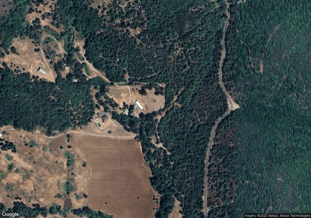
Map
Nearby Homes
- 10115 Ramsey Rd
- 377 Pelton Ln
- 12310 Ramsey Rd
- 207 Crossway Dr
- 0 Duggan Rd Unit 220198974
- 396 Crossway Dr
- 13007 Perry Rd
- 12373 Duggan Rd
- 250 Robleda Dr
- 12877 Perry Rd
- 13794 Perry Rd
- 6617 Dodge Rd
- 11615 Michael Rd
- 11441 Meadows Rd
- 11515 Michael Rd
- 23112 E Evans Creek Rd
- 3388 McMartin Ln
- 11162 Duggan Rd
- 16445 Meadows Rd
- 14980 Meadows Rd