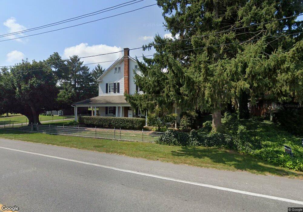
1012 Anderson Ferry Rd Mount Joy, PA 17552
Estimated Value: $405,000 - $465,000
4
Beds
2
Baths
2,636
Sq Ft
$161/Sq Ft
Est. Value
About This Home
This home is located at 1012 Anderson Ferry Rd, Mount Joy, PA 17552 and is currently estimated at $425,232, approximately $161 per square foot. 1012 Anderson Ferry Rd is a home located in Lancaster County with nearby schools including Donegal Intermediate School, Donegal High School, and Susquehanna Waldorf School.
Ownership History
Date
Name
Owned For
Owner Type
Purchase Details
Closed on
Oct 31, 2011
Sold by
Miller John E and Miller Robin K
Bought by
Kurtz Nicholas J and Camera Meghan L
Current Estimated Value
Home Financials for this Owner
Home Financials are based on the most recent Mortgage that was taken out on this home.
Original Mortgage
$219,198
Outstanding Balance
$148,385
Interest Rate
3.87%
Mortgage Type
FHA
Estimated Equity
$276,847
Create a Home Valuation Report for This Property
The Home Valuation Report is an in-depth analysis detailing your home's value as well as a comparison with similar homes in the area
Home Values in the Area
Average Home Value in this Area
Purchase History
| Date | Buyer | Sale Price | Title Company |
|---|---|---|---|
| Kurtz Nicholas J | $224,900 | None Available |
Source: Public Records
Mortgage History
| Date | Status | Borrower | Loan Amount |
|---|---|---|---|
| Open | Kurtz Nicholas J | $219,198 |
Source: Public Records
Tax History Compared to Growth
Tax History
| Year | Tax Paid | Tax Assessment Tax Assessment Total Assessment is a certain percentage of the fair market value that is determined by local assessors to be the total taxable value of land and additions on the property. | Land | Improvement |
|---|---|---|---|---|
| 2025 | $5,299 | $208,600 | $49,700 | $158,900 |
| 2024 | $5,299 | $208,600 | $49,700 | $158,900 |
| 2023 | $5,279 | $208,600 | $49,700 | $158,900 |
| 2022 | $5,239 | $208,600 | $49,700 | $158,900 |
| 2021 | $5,142 | $208,600 | $49,700 | $158,900 |
| 2020 | $5,142 | $208,600 | $49,700 | $158,900 |
| 2019 | $5,047 | $208,600 | $49,700 | $158,900 |
| 2018 | $3,661 | $208,600 | $49,700 | $158,900 |
| 2017 | $4,815 | $159,700 | $46,500 | $113,200 |
| 2016 | $4,815 | $159,700 | $46,500 | $113,200 |
| 2015 | $1,227 | $159,700 | $46,500 | $113,200 |
| 2014 | $3,388 | $159,700 | $46,500 | $113,200 |
Source: Public Records
Map
Nearby Homes
- 962 Anderson Ferry Rd
- 731 Florin Ave
- 234 Blossom Trail
- 333 Marietta Ave
- 146 New Haven St
- 340 Florin Ave
- 471 S Market Ave
- 341 W Donegal St
- 65 W Donegal St
- 0 Wood St Unit PALA2045808
- 101 & 103 W Main St
- 201 S Barbara St
- 325 Deerfield Dr
- 602 Bernhard Ave
- 430 Orchard Rd
- 1038 Stellar Dr
- 104 Merchant Ave Unit ANDOVER
- 104 Merchant Ave Unit MARLOW
- 104 Merchant Ave Unit ELGIN
- 104 Merchant Ave Unit DUNDEE
- 1016 Anderson Ferry Rd
- 1008 Anderson Ferry Rd
- 0 Sharon Dr Unit 139 1004667647
- 0 Sharon Dr Unit 138204
- 718 Sharon Dr
- 1005 Anderson Ferry Rd
- 1022 Anderson Ferry Rd
- 722 Sharon Dr
- 1021 Anderson Ferry Rd
- 629 Marian Ave
- 726 Sharon Dr
- 625 Marian Ave
- 723 Sharon Dr
- 1028 Anderson Ferry Rd
- 728 Sharon Dr
- 703 Kenneth Dr
- 1030 Anderson Ferry Rd
- 623 Marian Ave
- 702 Kenneth Dr
- 622 Marian Ave