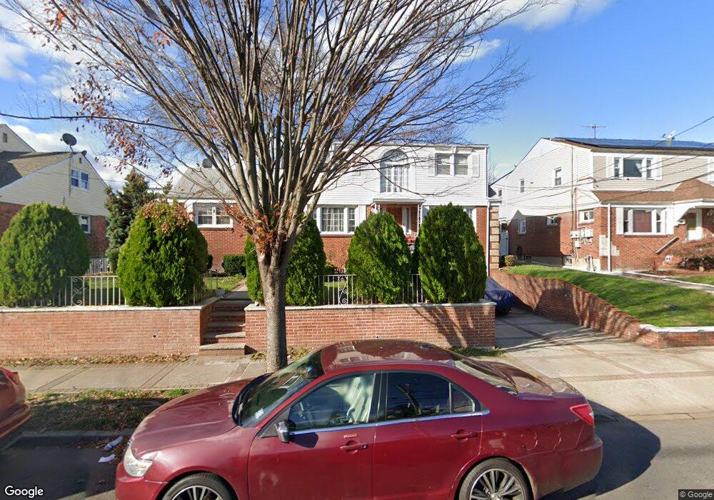
1012 E 27th St Unit 1016 Paterson, NJ 07513
Eastside NeighborhoodEstimated Value: $591,355 - $736,000
Studio
--
Bath
1,971
Sq Ft
$335/Sq Ft
Est. Value
About This Home
This home is located at 1012 E 27th St Unit 1016, Paterson, NJ 07513 and is currently estimated at $659,339, approximately $334 per square foot. 1012 E 27th St Unit 1016 is a home located in Passaic County with nearby schools including Dale Avenue Elementary School, Edward W. Kilpatrick School of Discovery, and Paterson Public School No. 3.
Ownership History
Date
Name
Owned For
Owner Type
Purchase Details
Closed on
Oct 31, 2008
Sold by
Tejada Jose
Bought by
Oliveros Osvaldo
Current Estimated Value
Home Financials for this Owner
Home Financials are based on the most recent Mortgage that was taken out on this home.
Original Mortgage
$329,875
Outstanding Balance
$217,072
Interest Rate
6.13%
Mortgage Type
FHA
Estimated Equity
$442,267
Create a Home Valuation Report for This Property
The Home Valuation Report is an in-depth analysis detailing your home's value as well as a comparison with similar homes in the area
Home Values in the Area
Average Home Value in this Area
Purchase History
| Date | Buyer | Sale Price | Title Company |
|---|---|---|---|
| Oliveros Osvaldo | $335,100 | -- | |
| Tejada Jose | -- | -- |
Source: Public Records
Mortgage History
| Date | Status | Borrower | Loan Amount |
|---|---|---|---|
| Open | Tejada Jose | $329,875 | |
| Closed | Oliveros Osvaldo | $329,875 |
Source: Public Records
Tax History
| Year | Tax Paid | Tax Assessment Tax Assessment Total Assessment is a certain percentage of the fair market value that is determined by local assessors to be the total taxable value of land and additions on the property. | Land | Improvement |
|---|---|---|---|---|
| 2025 | $12,304 | $241,500 | $77,600 | $163,900 |
| 2024 | $11,841 | $241,500 | $77,600 | $163,900 |
Source: Public Records
Map
Nearby Homes
- 156 Kentucky Ave Unit 158
- 102 22nd Ave Unit 104
- 495 21st Ave
- 1048 E 22nd St
- 1022 E 22nd St
- 29 22nd Ave
- 29-31 22nd Ave
- 966 E 24th St
- 960 E 24th St
- 414 21st Ave
- 1029 E 19th St
- 495-497 E 32nd St
- 209 Michigan Ave Unit 211
- 974 E 19th St
- 297 Delaware Ave Unit 299
- 445 E 32nd St
- 443-447 E 32nd St
- 300-302 19th Ave
- 942 E 19th St
- 302 19th Ave
- 1016-1020 E 27th St
- 1016 E 27th St Unit 1020
- 1008 E 27th St Unit 1010
- 1033 E 26th St Unit 1035
- 1037 E 26th St Unit 1039
- 1029 E 26th St Unit 1031
- 1041 E 26th St Unit 1043
- 1007-1009 E 27th St
- 1007 E 27th St Unit 1009
- 1041-1043 E 26th St
- 1022-1026 E 27th St
- 1022 E 27th St Unit 1026
- 1011 E 27th St Unit 1015
- 146-148 22nd Ave
- 146 22nd Ave Unit 148
- 1017 E 27th St Unit 1019
- 1045 E 26th St Unit 1047
- 154 22nd Ave Unit 156
- 162 22nd Ave
- 150 22nd Ave Unit 152
Your Personal Tour Guide
Ask me questions while you tour the home.