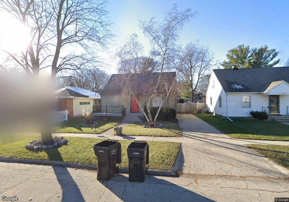
1012 Grant St Beloit, WI 53511
Estimated Value: $155,000 - $190,000
4
Beds
1
Bath
1,381
Sq Ft
$127/Sq Ft
Est. Value
About This Home
This home is located at 1012 Grant St, Beloit, WI 53511 and is currently estimated at $175,421, approximately $127 per square foot. 1012 Grant St is a home located in Rock County with nearby schools including Gaston Elementary School, McNeel Middle School, and Cunningham Intermediate School.
Ownership History
Date
Name
Owned For
Owner Type
Purchase Details
Closed on
May 21, 2012
Sold by
Thostenson Tiffany E and Atwell Tiffany E
Bought by
Atwell Timothy S
Current Estimated Value
Purchase Details
Closed on
Jun 12, 2006
Sold by
Stultz Pamela C
Bought by
Thostenson Tiffany E
Home Financials for this Owner
Home Financials are based on the most recent Mortgage that was taken out on this home.
Original Mortgage
$77,900
Outstanding Balance
$46,029
Interest Rate
6.66%
Mortgage Type
New Conventional
Estimated Equity
$129,392
Create a Home Valuation Report for This Property
The Home Valuation Report is an in-depth analysis detailing your home's value as well as a comparison with similar homes in the area
Home Values in the Area
Average Home Value in this Area
Purchase History
| Date | Buyer | Sale Price | Title Company |
|---|---|---|---|
| Atwell Timothy S | -- | None Available | |
| Thostenson Tiffany E | $82,000 | None Available |
Source: Public Records
Mortgage History
| Date | Status | Borrower | Loan Amount |
|---|---|---|---|
| Open | Thostenson Tiffany E | $77,900 |
Source: Public Records
Tax History Compared to Growth
Tax History
| Year | Tax Paid | Tax Assessment Tax Assessment Total Assessment is a certain percentage of the fair market value that is determined by local assessors to be the total taxable value of land and additions on the property. | Land | Improvement |
|---|---|---|---|---|
| 2024 | $1,739 | $147,900 | $12,300 | $135,600 |
| 2023 | $1,629 | $111,900 | $12,300 | $99,600 |
| 2022 | $1,695 | $111,900 | $12,300 | $99,600 |
| 2021 | $2,004 | $71,600 | $9,800 | $61,800 |
| 2020 | $1,890 | $71,600 | $9,800 | $61,800 |
| 2019 | $1,777 | $71,600 | $9,800 | $61,800 |
| 2018 | $1,798 | $71,600 | $9,800 | $61,800 |
| 2017 | $2,075 | $71,600 | $9,800 | $61,800 |
| 2016 | $1,841 | $71,600 | $9,800 | $61,800 |
Source: Public Records
Map
Nearby Homes
- 1715 Liberty Ave
- 1126 Garfield Ave
- 1216 Garfield Ave
- 1116 Liberty Ave
- 1937 Roosevelt Ave
- 1347 Mckinley Ave
- 716 Grant St
- 1354 Garfield Ave
- 1143 11th St
- 1503 Saint Lawrence Ave
- 955 10th St
- 944 9th St
- 1749 Forest Ave
- 2041 Fairfax Ave
- 1345 Forest Ave
- 2043 Fairfax Ave
- 1329 10th St
- 1240 Bittel St
- 852 8th St
- 1157 8th St
- 1022 Grant St
- 1010 Grant St
- 1026 Grant St
- 1006 Grant St
- 1019 Cleveland St
- 1023 Cleveland St
- 1032 Grant St
- 1605 Merrill Ave
- 1027 Cleveland St
- 1013 Grant St
- 1023 Grant St
- 1003 Cleveland St
- 1033 Cleveland St
- 1038 Grant St
- 1028 Cleveland St
- 1007 Cleveland St
- 1027 Grant St
- 1013 Cleveland St
- 1031 Grant St
- 1037 Cleveland St