1012 Highway 19 N Thomaston, GA 30286
Estimated Value: $928,888
--
Bed
--
Bath
6,972
Sq Ft
$133/Sq Ft
Est. Value
About This Home
This home is located at 1012 Highway 19 N, Thomaston, GA 30286 and is currently estimated at $928,888, approximately $133 per square foot. 1012 Highway 19 N is a home located in Upson County with nearby schools including Upson-Lee South Elementary School, Upson-Lee North Elementary School, and Upson-Lee Middle School.
Ownership History
Date
Name
Owned For
Owner Type
Purchase Details
Closed on
Jun 11, 2025
Sold by
Smith & West Inc
Bought by
Thomaston 18 Llc
Current Estimated Value
Home Financials for this Owner
Home Financials are based on the most recent Mortgage that was taken out on this home.
Original Mortgage
$647,500
Outstanding Balance
$595,193
Interest Rate
6.76%
Mortgage Type
New Conventional
Estimated Equity
$333,695
Purchase Details
Closed on
Apr 6, 2009
Sold by
Oreilly Automotive Inc
Bought by
Georgia Department Of Transpor
Purchase Details
Closed on
Jan 5, 2009
Sold by
Smith West Inc
Bought by
Georgia Department Of Transpor
Create a Home Valuation Report for This Property
The Home Valuation Report is an in-depth analysis detailing your home's value as well as a comparison with similar homes in the area
Home Values in the Area
Average Home Value in this Area
Purchase History
| Date | Buyer | Sale Price | Title Company |
|---|---|---|---|
| Thomaston 18 Llc | $925,000 | -- | |
| Georgia Department Of Transpor | -- | -- | |
| Georgia Department Of Transpor | -- | -- |
Source: Public Records
Mortgage History
| Date | Status | Borrower | Loan Amount |
|---|---|---|---|
| Open | Thomaston 18 Llc | $647,500 | |
| Previous Owner | Smith | $969,818 |
Source: Public Records
Tax History Compared to Growth
Tax History
| Year | Tax Paid | Tax Assessment Tax Assessment Total Assessment is a certain percentage of the fair market value that is determined by local assessors to be the total taxable value of land and additions on the property. | Land | Improvement |
|---|---|---|---|---|
| 2024 | $6,997 | $232,804 | $67,009 | $165,795 |
| 2023 | $6,997 | $232,804 | $67,009 | $165,795 |
| 2022 | $6,476 | $232,804 | $67,009 | $165,795 |
| 2021 | $6,637 | $232,804 | $67,008 | $165,796 |
| 2020 | $7,092 | $232,804 | $67,009 | $165,795 |
| 2019 | $6,963 | $219,249 | $72,900 | $146,349 |
| 2018 | $6,968 | $219,249 | $72,900 | $146,349 |
| 2017 | $7,488 | $214,249 | $72,900 | $141,349 |
| 2016 | $7,617 | $214,249 | $72,900 | $141,349 |
| 2015 | $7,557 | $214,249 | $72,900 | $141,349 |
| 2014 | $8,885 | $251,264 | $109,350 | $141,914 |
Source: Public Records
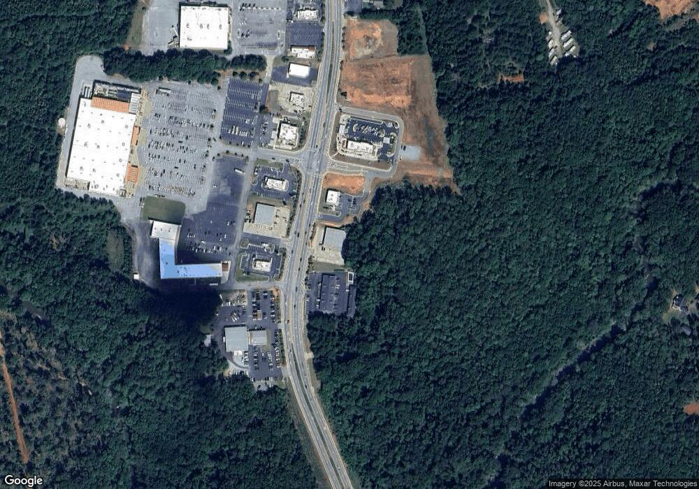
Map
Nearby Homes
- 0 Glenwood Dr Unit 10568562
- 105 Salbar St
- 107 Salbar St
- 0 Riverside Rd Unit 10163702
- 111 Marlon St
- 307 W County Rd
- 104 Denham St
- 215 Denham St
- 306 Garner St
- 458 E St
- 101 Pineview Dr
- 318 North St
- 412 Denham St
- 121 David Dr
- 104 Robinson St
- 0 9th Ave Unit 10500756
- 401 Harp Rd
- 146 O St NW
- 8 D St
- 74 E St
- 1046 Highway 19 N
- 1046 U S 19
- 1054 Highway 19 N Unit 1068
- 1054 Highway 19 N
- 1022 Highway 19 N
- 1022 U S 19
- 1049 U S Highway 19
- 1049 U S 19
- 1049 Highway 19 N
- 1070 Highway 19 N
- 0 Us 19 Church St S Unit 3.9 ACRES 10229909
- 1078 Highway 19 N
- 0 N Church St
- 345 Franklin Dr
- 335 Franklin Dr
- 1082 Highway 19 N
- 116 Porter Dr
- 325 Franklin Dr
- 1084 Highway 19 N
- 135 Tanglewood Dr