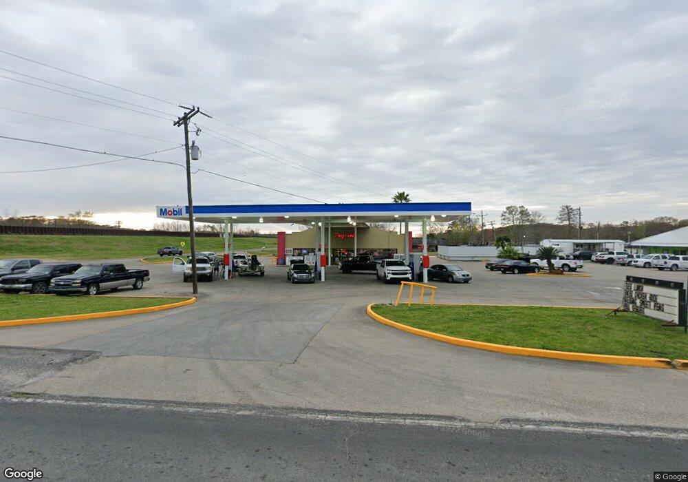
1012 Highway 70 Pierre Part, LA 70339
Saint Martin Parish NeighborhoodEstimated Value: $366,888
--
Bed
--
Bath
1,990
Sq Ft
$184/Sq Ft
Est. Value
About This Home
This home is located at 1012 Highway 70, Pierre Part, LA 70339 and is currently estimated at $366,888, approximately $184 per square foot. 1012 Highway 70 is a home located in St. Martin Parish.
Ownership History
Date
Name
Owned For
Owner Type
Purchase Details
Closed on
Feb 25, 2013
Sold by
Belle River Holdings Co Llc
Bought by
R Ans S Landry Holdings Llc
Current Estimated Value
Home Financials for this Owner
Home Financials are based on the most recent Mortgage that was taken out on this home.
Original Mortgage
$1,674,710
Outstanding Balance
$1,176,429
Interest Rate
3.44%
Mortgage Type
Commercial
Estimated Equity
-$809,541
Purchase Details
Closed on
Jan 18, 2005
Sold by
Verrett Fremin Stanford J and Verrett Fremin Barbara
Bought by
Belle River Holding Co Llc
Home Financials for this Owner
Home Financials are based on the most recent Mortgage that was taken out on this home.
Original Mortgage
$450,000
Interest Rate
5.68%
Create a Home Valuation Report for This Property
The Home Valuation Report is an in-depth analysis detailing your home's value as well as a comparison with similar homes in the area
Home Values in the Area
Average Home Value in this Area
Purchase History
| Date | Buyer | Sale Price | Title Company |
|---|---|---|---|
| R Ans S Landry Holdings Llc | $220,000 | None Available | |
| Belle River Holding Co Llc | $1,600,000 | -- |
Source: Public Records
Mortgage History
| Date | Status | Borrower | Loan Amount |
|---|---|---|---|
| Open | R Ans S Landry Holdings Llc | $1,674,710 | |
| Previous Owner | Belle River Holding Co Llc | $450,000 |
Source: Public Records
Tax History Compared to Growth
Tax History
| Year | Tax Paid | Tax Assessment Tax Assessment Total Assessment is a certain percentage of the fair market value that is determined by local assessors to be the total taxable value of land and additions on the property. | Land | Improvement |
|---|---|---|---|---|
| 2024 | $6,832 | $55,090 | $4,090 | $51,000 |
| 2023 | $6,460 | $50,730 | $4,090 | $46,640 |
| 2022 | $6,496 | $50,730 | $4,090 | $46,640 |
| 2021 | $6,506 | $50,730 | $4,090 | $46,640 |
| 2020 | $6,653 | $50,730 | $4,090 | $46,640 |
| 2019 | $6,839 | $52,520 | $4,090 | $48,430 |
| 2018 | $6,771 | $52,520 | $4,090 | $48,430 |
| 2017 | $6,798 | $52,520 | $4,090 | $48,430 |
| 2016 | $6,592 | $54,440 | $6,010 | $48,430 |
| 2015 | $6,614 | $51,210 | $6,010 | $45,200 |
| 2014 | $6,465 | $49,290 | $4,090 | $45,200 |
| 2013 | $6,465 | $51,210 | $6,010 | $45,200 |
Source: Public Records
Map
Nearby Homes
- 0 Belle River Rd
- 1075 Louisiana 70
- 102 Riverbend St
- 106 Avenue A
- 106 Michel Rd
- 124 Pier 19 Dr
- 100 Michel Rd
- 120 Pier 19 Dr
- 116 Pier 19 Dr
- 112 Pier 19 Dr
- 108 Pier 19 Dr
- 128 Pier 19 Dr
- 1015 Eagle Dr
- 104 Pier 19 Dr
- 100 Pier 19 Dr
- 238 Michel Rd
- 122 Lakeview St
- 601 Michel Rd
- 246 Bayou Tranquille Rd
- 254 Bayou Tranquille Rd
- 1012 Highway 70
- 1012 Louisiana 70
- 2103 Levee Hwy Unit A
- 1027C Highway 70
- 1031 Highway 70
- 1031 Highway 70
- 1031 Highway 70
- 1034 Highway 70
- 1039 Highway 70
- 604 Belle River Rd
- 602 Belle River Rd
- 608 Belle River Rd
- 606 Belle River Rd
- 2057 Levee Hwy
- 3 E Sisters Ln
- 136 Belle River Rd
- 614 Belle River Rd
- 616 Belle River Rd
- 618 Belle River Rd
- 1049 Highway 70