Estimated Value: $238,000 - $687,000
2
Beds
2
Baths
1,296
Sq Ft
$271/Sq Ft
Est. Value
About This Home
This home is located at 1012 Laporte St, Wayne, NE 68787 and is currently estimated at $350,944, approximately $270 per square foot. 1012 Laporte St is a home with nearby schools including Wayne Elementary School, Wayne High School, and St. Mary Elementary School.
Ownership History
Date
Name
Owned For
Owner Type
Purchase Details
Closed on
Apr 17, 2025
Sold by
Wayne Community Housing Development Corp
Bought by
Deichmann Isaac and Deichmann Samantha
Current Estimated Value
Purchase Details
Closed on
Aug 29, 2024
Sold by
Swanson Steffi A
Bought by
Wayne Community Housing Development Corporati
Purchase Details
Closed on
Dec 17, 2017
Sold by
Wiggins Bryan S and Chamberlin Jessica K
Bought by
Wells Cody
Purchase Details
Closed on
Feb 21, 2015
Sold by
The Community Redevelopment Authority Of
Bought by
Progressive Property Inspections Llc
Create a Home Valuation Report for This Property
The Home Valuation Report is an in-depth analysis detailing your home's value as well as a comparison with similar homes in the area
Home Values in the Area
Average Home Value in this Area
Purchase History
| Date | Buyer | Sale Price | Title Company |
|---|---|---|---|
| Deichmann Isaac | $260,000 | None Listed On Document | |
| Wayne Community Housing Development Corporati | $200,000 | None Listed On Document | |
| Wells Cody | $170,000 | None Available | |
| Progressive Property Inspections Llc | -- | None Available |
Source: Public Records
Tax History
| Year | Tax Paid | Tax Assessment Tax Assessment Total Assessment is a certain percentage of the fair market value that is determined by local assessors to be the total taxable value of land and additions on the property. | Land | Improvement |
|---|---|---|---|---|
| 2025 | $2,240 | $193,315 | $10,385 | $182,930 |
| 2024 | $2,240 | $177,325 | $10,385 | $166,940 |
| 2023 | $2,758 | $162,150 | $10,385 | $151,765 |
| 2022 | $2,696 | $154,560 | $10,385 | $144,175 |
| 2021 | $2,652 | $145,450 | $10,385 | $135,065 |
| 2020 | $2,599 | $145,285 | $10,385 | $134,900 |
| 2019 | $2,563 | $145,285 | $10,385 | $134,900 |
| 2018 | $2,605 | $145,285 | $10,385 | $134,900 |
| 2017 | $2,575 | $145,285 | $10,385 | $134,900 |
| 2016 | $2,710 | $0 | $0 | $0 |
| 2015 | $190 | $10,385 | $10,385 | $0 |
Source: Public Records
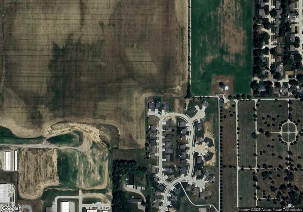
Map
Nearby Homes
- 908 Brookedale Dr
- 907 Brookedale Dr
- 906 Brookedale Dr
- 905 Brookedale Dr
- 904 Brookedale Dr
- 1002 Bressler Ct
- 903 Brookedale Dr
- 908 Neihardt Ave
- 909 Brookedale Dr
- 902 Brookdale Dr
- 906 Neihardt Ave
- 901 Brookedale Dr
- 810 Brookedale Dr
- 904 Neihardt Ave
- 907 Bressler Ct
- 902 Bressler Ct
- 809 Brookedale Dr
- 902 Neihardt Ave
- 905 Neihardt Ave
- 806 Brookedale Dr
Your Personal Tour Guide
Ask me questions while you tour the home.