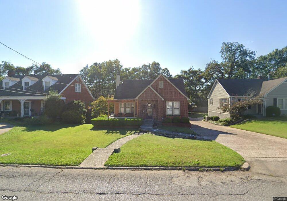
1012 N Sampson Ave Dyersburg, TN 38024
Estimated Value: $151,000 - $248,000
3
Beds
2
Baths
1,818
Sq Ft
$115/Sq Ft
Est. Value
About This Home
This home is located at 1012 N Sampson Ave, Dyersburg, TN 38024 and is currently estimated at $209,238, approximately $115 per square foot. 1012 N Sampson Ave is a home located in Dyer County with nearby schools including Dyersburg Primary School, Trimble Elementary School, and Dyersburg Intermediate School.
Ownership History
Date
Name
Owned For
Owner Type
Purchase Details
Closed on
Dec 23, 2011
Sold by
Thurmond Chris
Bought by
Waiters Maria
Current Estimated Value
Home Financials for this Owner
Home Financials are based on the most recent Mortgage that was taken out on this home.
Original Mortgage
$86,734
Outstanding Balance
$59,503
Interest Rate
4.07%
Mortgage Type
Commercial
Estimated Equity
$149,735
Purchase Details
Closed on
Jul 11, 2000
Sold by
Jennings Michael D
Bought by
Thurmond Chris
Purchase Details
Closed on
Aug 15, 1973
Bought by
Vickers James Page and Hanna Hubbard
Create a Home Valuation Report for This Property
The Home Valuation Report is an in-depth analysis detailing your home's value as well as a comparison with similar homes in the area
Home Values in the Area
Average Home Value in this Area
Purchase History
| Date | Buyer | Sale Price | Title Company |
|---|---|---|---|
| Waiters Maria | $85,000 | -- | |
| Thurmond Chris | $135,000 | -- | |
| Vickers James Page | -- | -- |
Source: Public Records
Mortgage History
| Date | Status | Borrower | Loan Amount |
|---|---|---|---|
| Open | Waiters Maria | $86,734 |
Source: Public Records
Tax History Compared to Growth
Tax History
| Year | Tax Paid | Tax Assessment Tax Assessment Total Assessment is a certain percentage of the fair market value that is determined by local assessors to be the total taxable value of land and additions on the property. | Land | Improvement |
|---|---|---|---|---|
| 2024 | $943 | $38,350 | $4,500 | $33,850 |
| 2023 | $1,871 | $38,350 | $4,500 | $33,850 |
| 2022 | $1,841 | $38,425 | $4,500 | $33,925 |
| 2021 | $1,841 | $38,425 | $4,500 | $33,925 |
| 2020 | $1,822 | $38,425 | $4,500 | $33,925 |
| 2019 | $1,736 | $33,425 | $4,500 | $28,925 |
| 2018 | $1,676 | $33,425 | $4,500 | $28,925 |
| 2017 | $1,676 | $33,425 | $4,500 | $28,925 |
| 2016 | $1,460 | $29,125 | $4,500 | $24,625 |
| 2015 | $1,418 | $29,125 | $4,500 | $24,625 |
| 2014 | $1,379 | $29,125 | $4,500 | $24,625 |
Source: Public Records
Map
Nearby Homes
- 1211 Speedway Ave
- 1217 Speedway Ave
- 1300 Todd Ave
- 1212 Woodlawn Ave
- 1216 Woodlawn Ave
- 809 N Sampson Ave
- 1324 Todd Ave
- 1401 Todd Ave
- 1020 Troy Ave
- 605 E Parkview St
- 933 Troy Ave
- 1305 Troy Ave
- 512 Phillips St
- Lot 2 Dakota Loop
- Lot 1 Dakota Loop
- 603 Phillips St
- 419 N Sampson Ave
- 00 S Lattawoods Dr
- 905 Harrell Ave Unit 907
- 232 Watkins St
- 1006 N Sampson Ave
- 1018 N Sampson Ave
- 1013 N Sampson Ave
- 1005 N Sampson Ave
- 1019 N Sampson Ave
- 1026 N Sampson Ave
- 1025 N Sampson Ave
- 916 N Sampson Ave
- 1031 N Sampson Ave
- 925 Saint John Ave
- 432 Light St
- 919 Saint John Ave
- 929 Saint John Ave
- 910 N Sampson Ave
- 911 N Sampson Ave
- 935 Saint John Ave
- 911 Saint John Ave
- 1037 N Sampson Ave
- 939 Saint John Ave
- 1038 N Sampson Ave